This is “just software”, so the job can be done properly, with various declutter options.
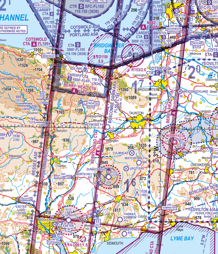
Airspace class is airspace class.
I call this “design arrogance”, together with unwillingness to do the software properly to merge same-class airspace. The algorithms were worked out in the 1950/60s.
It is already the case that many SD users don’t know how to config the program e.g. planning a flight on the ground with the level set to 2300ft and then climbing to 5300ft. Airborne, the declutter level is automatically adjusted as you climb but you might not be looking at the tablet. The MOR reports are full of people saying they got confused by SD.
Cobalt wrote:
And no, class E is NOT irrelevant, there are higher VMC minima in class E compared to class G.
Above 3000’ (which is the case for the French airways), the minima are the same.
Peter wrote:
The result of the use of “airways” within the training sausage machine to scare the hell out of PPLs, and to denote airspace dedicated to “professionals” is just elitism, which has done a lot of damage to the understanding of airspace.
Actually, “airway” has a well-defined ICAO meaning, that of controlled airspace in the shape of a corridor. But I agree that the UK usage is different (particularly as to its connotations).
Maybe someone should pop-up this issue with SkyDemon on their forums? Maybe they get inspired after all. Nonetheless, I agree with @boscomantico. SkyDemon doesn’t throw all data just at you. The software is designed and configured for European VFR pilots. Something ForeFlight or Garmin isn’t. The only competitor on “eye level” might be EasyVFR and in the past AirNavPro, however, the latest product hasn’t been much updated anymore. ANP seems like a “dead” programm. German Pilots also use Sky-Map and VFRnav sometimes, which is good, but by far not comparable with SD or EVFR.
Peter wrote:
The result of the use of “airways” within the training sausage machine to scare the hell out of PPLs, and to denote airspace dedicated to “professionals” is just elitism, which has done a lot of damage to the understanding of airspace. Even today you see posts on forums like “can a PPL fly in French airways” which shows a total lack of understanding of airspace class.That might be a typical UK “problem”, I suppose.

that of controlled airspace in the shape of a corridor
Yes, but does it matter? This is Class A. It will be Class A whether it is a corridor, or the shape of a sausage It means no VFR. It may also mean a more aggressive policy on infringements.
the UK usage is different (particularly as to its connotations).
Exactly, and this is the principal SD market.
CAS is CAS regardless of shape and should be appropriately blended, filleted, and same-class-merged. Then implement declutter based on altitude. This is a very straightforward presentation for a pilot. You can just set the level at say 5000ft and then you know a “safe” route if you fly below 5000ft.
Maybe someone should pop-up this issue with SkyDemon on their forums?
Good luck  That bit is legendary…
That might be a typical UK “problem”, I suppose.
It is a “typical problem” for any country with lots of Class A, which in Europe is UK and Italy, but Italians don’t really get stuck into this issue because the GA community there is nowadays mostly ULs operating from small fields all over Italy, low level, “below the radar”. And the volume of feedback from there to an English developer will be close to zero (and same with most other countries).
Peter wrote:
Yes, but does it matter? This is Class A. It will be Class A whether it is a corridor, or the shape of a sausage It means no VFR. It may also mean a more aggressive policy on infringements.
I got SVFR there at FL85 on VFR from Newquay to Elstree asking Exeter ATC if I can cross, they come up with clearance
I learned later since SERA you can’t get SVFR in CTA/TMA but neither me or controllers were aware back then…
Frans wrote:
Maybe someone should pop-up this issue with SkyDemon on their forums?
The answer was we are not fixing it unless IGN map does fix it first, easy product blabla…I heard the same thing for GeoRef Instrument Approach or some AIP/SUP junk for airspace change notification, we are not touching it unless the lazy guys at DGAC/DSNA fix it first, not IFR…the same for Danger Areas in UK with (*) in VFR chart but nothing in SkyDemon map…
The value of the product is still being able to get sparse unreadable data into the screen, if you have to dig on paper prints it’s less useful
My feeling their developers likes easy hanging fruits, everything else is not worth the effort
Peter wrote:
The basic issue is that the makers import data from the AIP (by scraping the PDFs; AFAIK it isn’t available in a machine readable format)
I suspect it is – otherwise why pay Eurocontrol a substantial yearly fee
I suspect it is – otherwise why pay Eurocontrol a substantial yearly fee
It may be nowadays. I know for many years it wasn’t – only stuff like navaid data was. The DAFIF source was terminated by European and Australian CAAs in 2005 (they threatened the US with withdrawal of airspace data needed by US forces in Europe) and that blocked all machine readable data for Europe.
Eurocontrol charge for the B2B data connection. You can get a copy of the whole EAD site (operated by Frequentis Ltd) – about 50GB of stuff. Plus weather and such. And electronic FP filing.
Obviously somebody here knows the answer but probably won’t post it
Back in your Navbox days, Peter, didn’t you have to wade through the AIP PDFs?
If Eurocontrol supply European airspace data now (and if they do it must be very recent, because e.g. SD didn’t depict a lot of airspace in Italy until recently) that makes the poor airspace presentation by SD and others inexcusable.
Times change though and I am pretty sure Eurocontrol provide the data – the way it is interpreted will vary from developer to developer. A major part of the Italian problem was airspace in mountainous areas being defined as AGL instead of MSL making it almost impossible to depict accurately.
AGL airspace is IMHO bollocks and impossible to enforce, so long as the pilot doesn’t do something obvious like “mountain peaks plus 10000ft”.
It could still be depicted in its lateral limits – just like it is on the printed chart. There is nothing hard about that. It is just that enforcement of it is impossible because there is no way to set up a radar system + terrain database to catch an infringer, unless you also define clear rules like “nearest peak within 10nm” which AFAIK nobody does.