
I am still sorting out the pics and there will be a proper writeup but in the meantime here is the real-time tracking link from the EuroGA autorouter, for the return flight EIWT-EGKA, 0900 UTC today.
This tracking is a new facility on the autorouter. The data comes from Eurocontrol who get it from the various radars.
The weather was good, with very good visibility instead of the usual summer haze, and the flights were done at very low level – 1000-2000ft and sometimes less. But bad weather is moving in as I write this and I need to get out of here quickly.
Interestingly, Ireland provides position reports every 2 minutes while the UK provides them only every 10 minutes.
Eurocontrol recommends 3 minutes and asks for 5 minutes. France does every 2-3 minutes, Belgium every 10 minutes, Germany every 10 minutes, Croatia every 3 minutes.
The FlightRadar 24 feed is usually a better source.
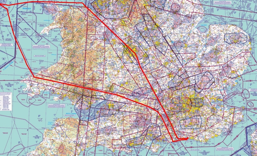
This appears to be the final track
I had to do two screenshots and merge them in photoshop, due to the limited zoom factors on the google map.
I planned to fly to the southwest of England in these days but unfortunately had to call it off due to the big front moving in at this moment which will bring lots of rain over Britain tomorrow.
Instead, I’m sitting in Calvi now  . Will give an update re parking etc. once I have time. Off to Olbia in couple of hours.
Here we go…
Colm (Dublinpilot) and I did a trip around Ireland this weekend. He did all the planning and flight plan filing (Ireland needs a formal flight plan for all controlled airspace) via PocketFMS, and kindly annotated the photos with the names of places.
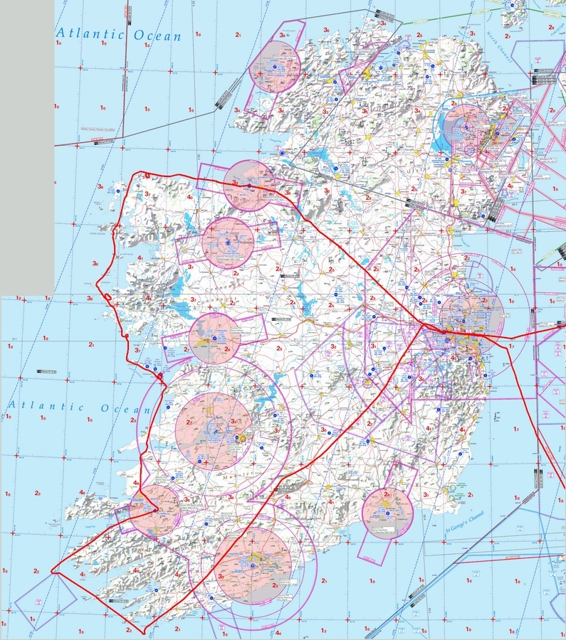
We were extremely fortunate with the weather, with great visibility instead of the usual summer haze. This was the situation on the day around Ireland
and it was very much a case of doing the whole thing before the bad weather moved in.
The flights to and from Shoreham EGKA to Weston EIWT and back were done under IFR. They were flown mostly at FL150-160, partly to stay above any weather but mainly because the Eurocontrol routings are not available lower down.
IFR routes:
EGKA N0150F080 GWC/N0150F100 Y8 SAM Q41 PEPIS Y321 CPT L9 MALBY/N0150F110 L9 WOTAN/N0150F120 L9 BADIM/N0150F130 L9 ALVIN/N0150F140 L9 ERNOK/N0150F150 L9 AMMAN/N0150F160 L9 STU M17 VATRY/N0150F080 M17 KLY VFR EIWT
EIWT N0146VFR LIFFY/N0146F150 IFR L975 MALUD L15 KEPAD L151 NEDEX/N0146F140 L151 KIDLI/N0146F130 N859 DIGUT/N0146F110 N859 CPT/N0146F100 Y321 PEPIS Q41 SAM EGKA
The above filed routes show VFR arrival and departure at EIWT but in fact these were done under IFR also. EIWT has a VOR approach and the VOR D takes you along the same route which one would fly under VFR. The departure is “unpublished” but the airport emails it to you when you contact them with the 24hr PNR which is theoretically required for all non-Irish flights.
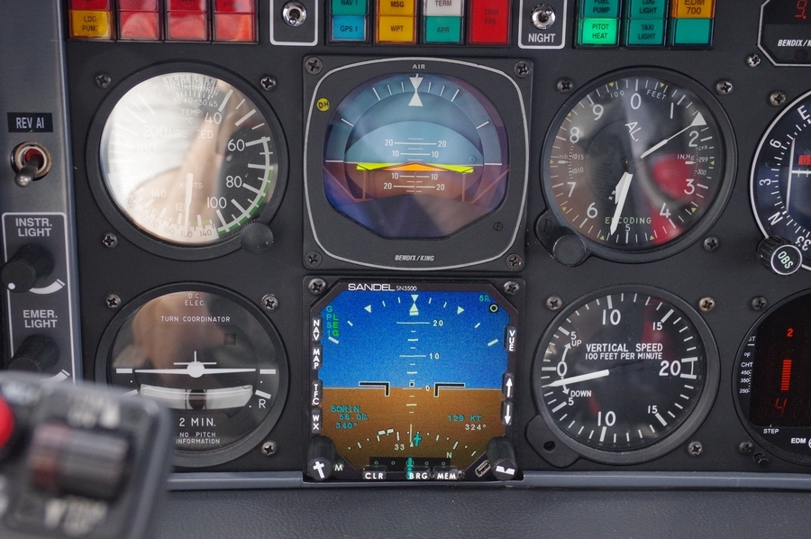
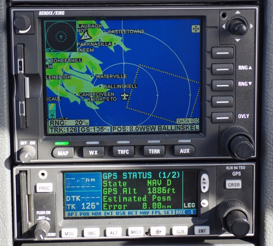
The IFR routes were developed with the EuroGA router which now has a flight plan filing facility. This makes it easy to do the whole lot from even a small mobile phone. No “app” is required – just a reasonably modern web browser. I have the Opera Mobile browser on my Nokia 808 phone and that is perhaps the most difficult combination, but it works fine.
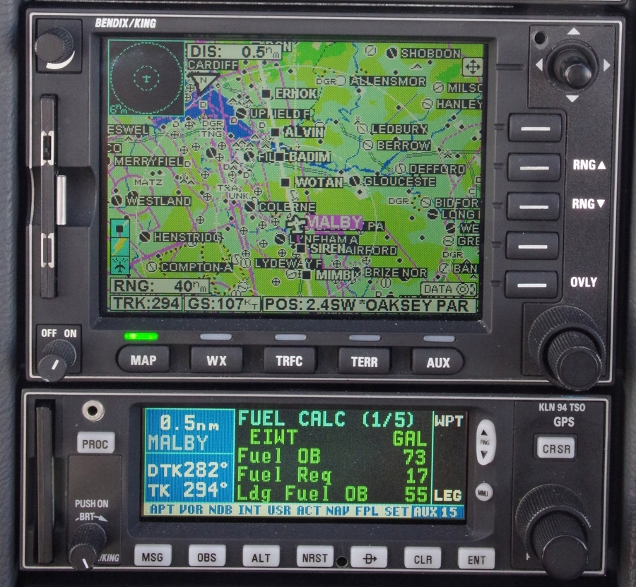
The autorouter also offers live flight tracking on Eurocontrol IFR flights. This image, taken after the last flight, shows the filed route and the actual route flown
It is also possible to view additional flight parameters, by hovering the mouse over the reporting points on the actual track
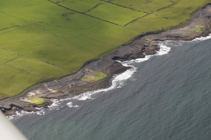
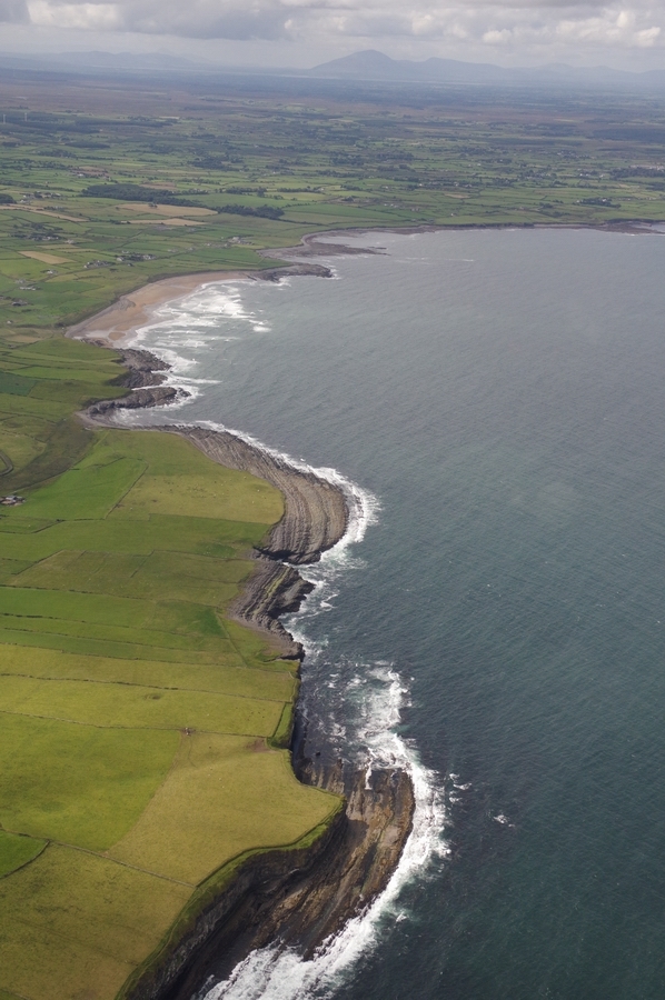
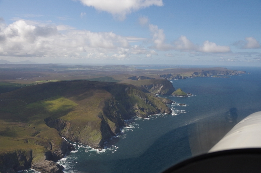
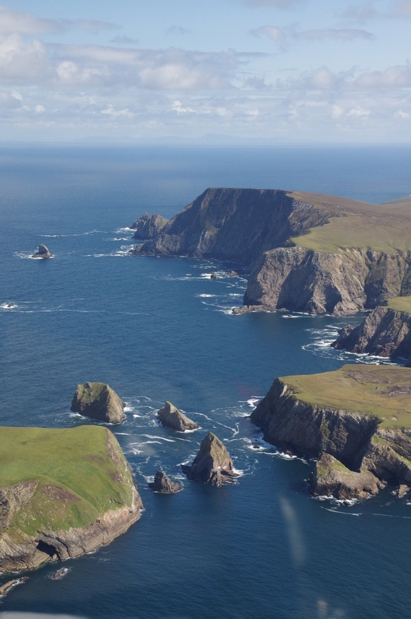
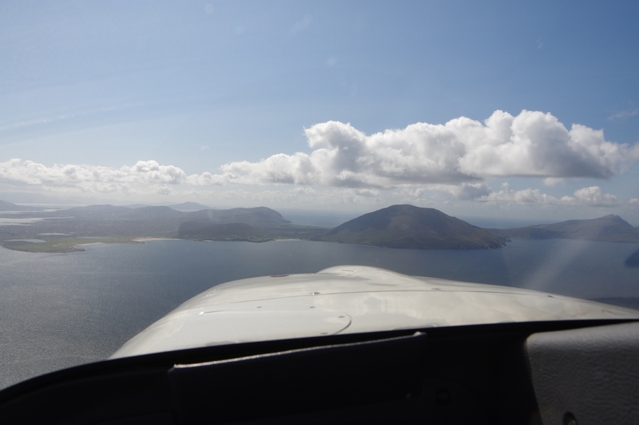
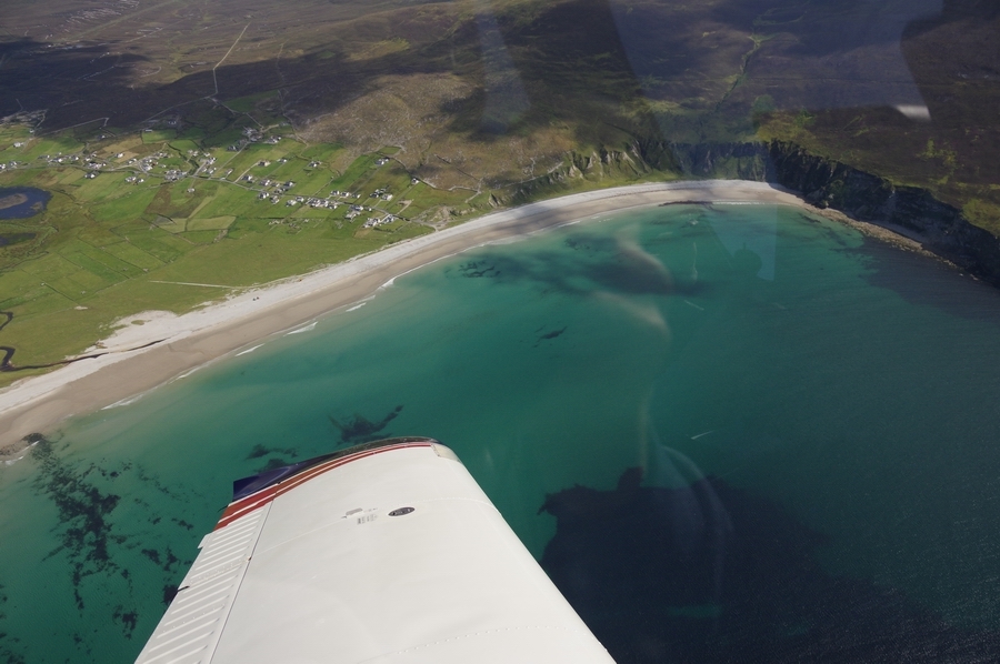
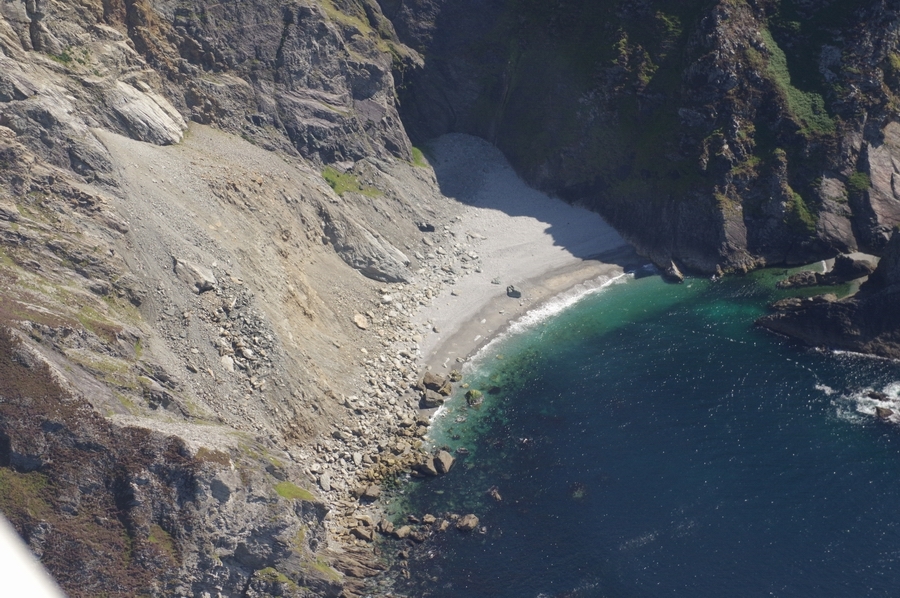
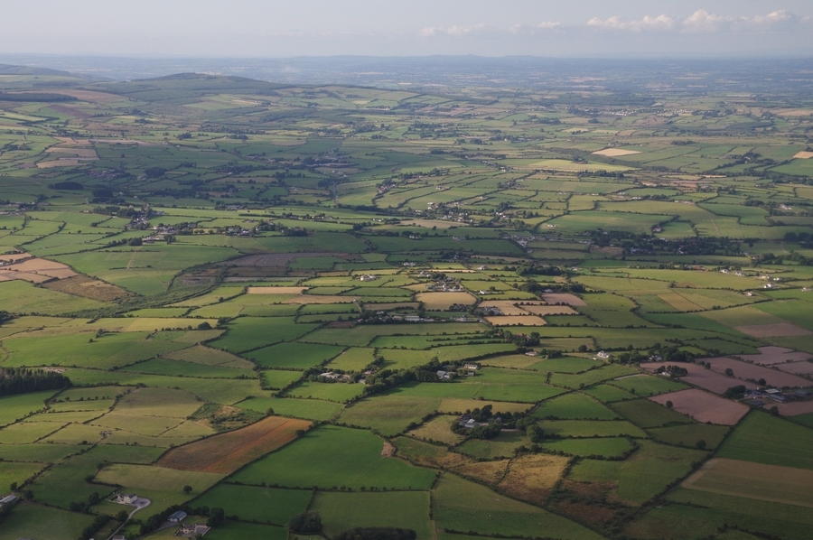
Within Ireland, three flights were done: Weston to Sligo, Sligo to Kerry, and Kerry to Weston. The routes were at low level (mostly around 2000ft but dropping down below 1000ft in a few places) and went around the scenic coastlines. Much of the airborne time was out of glide range of land.
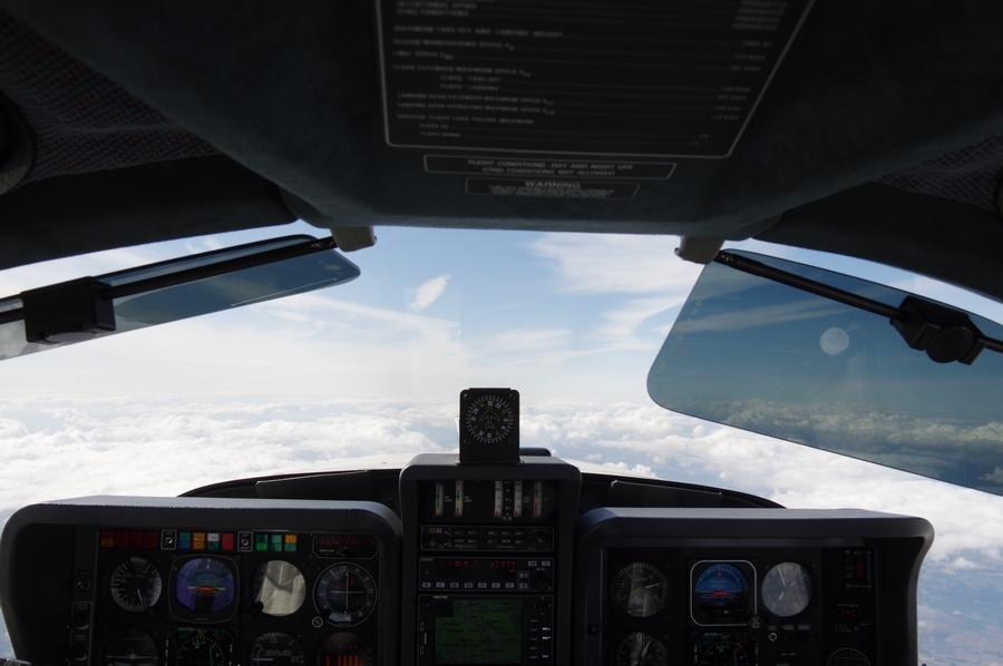
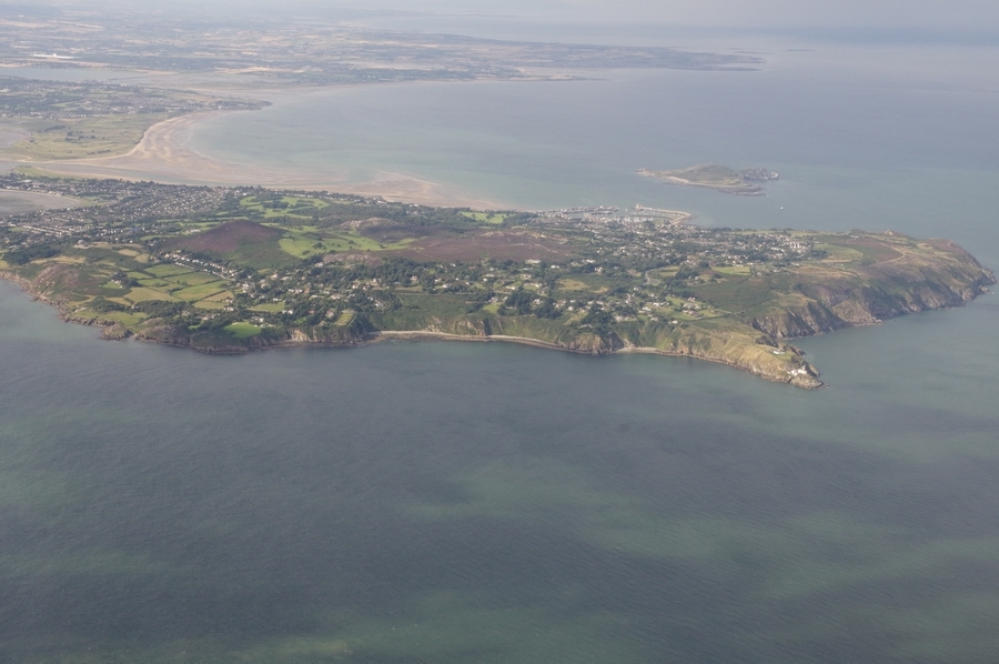
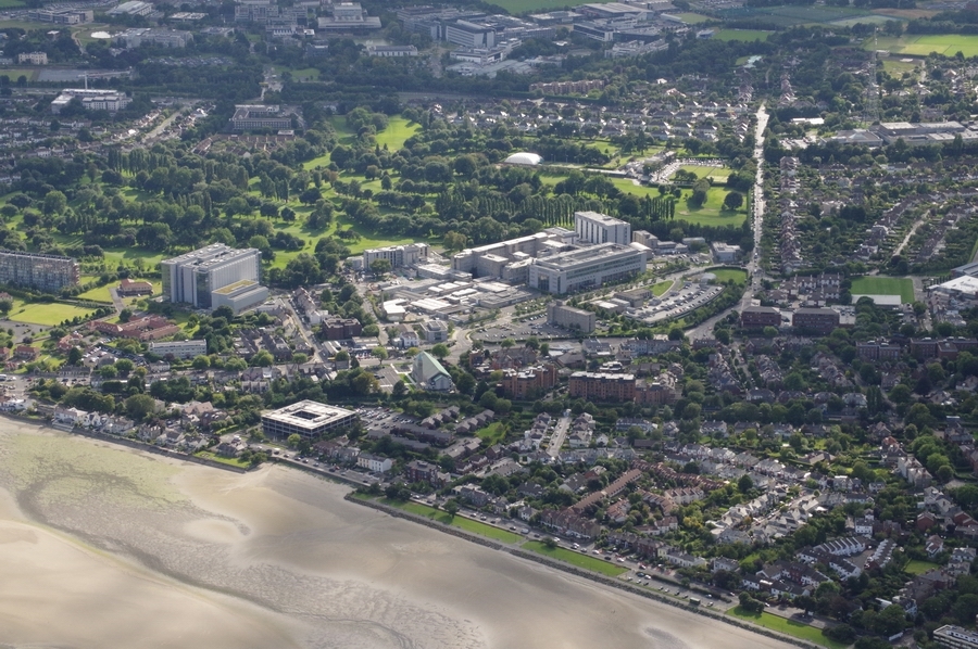
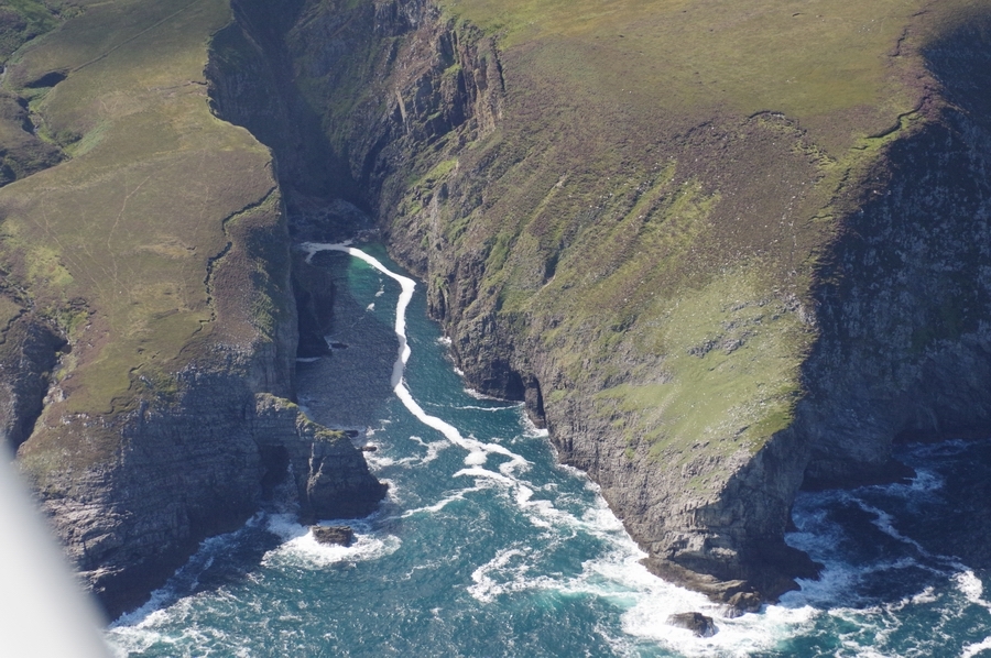
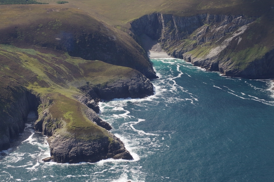
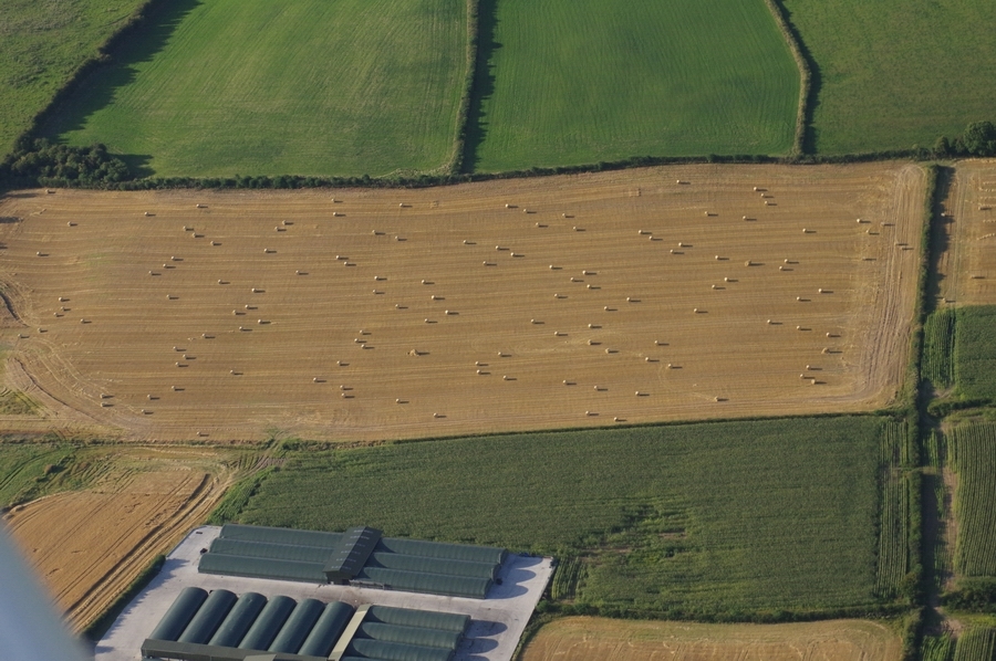
A lot of photos were taken on this trip and here is just a small selection
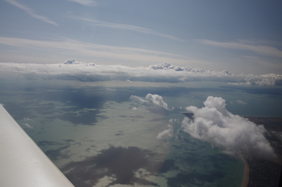
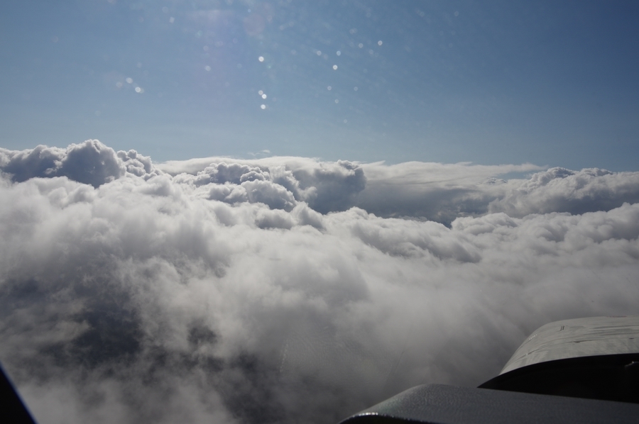
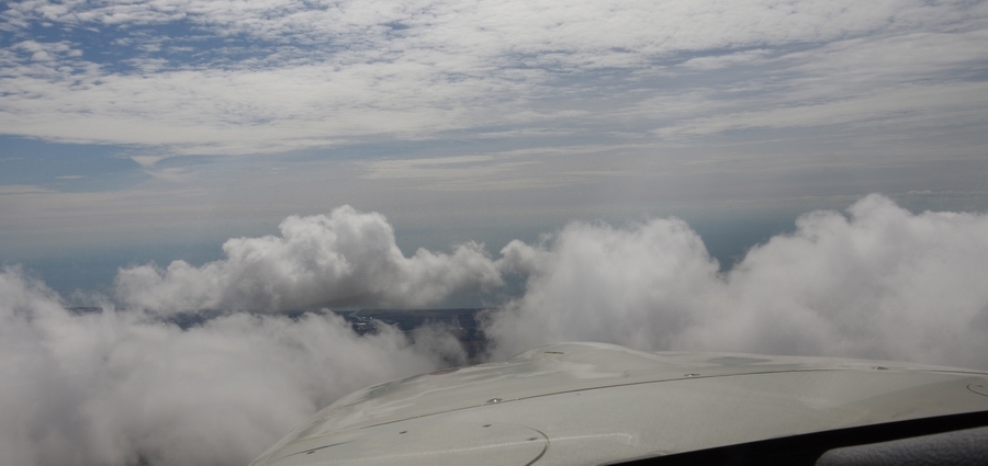
Out of the UK, there was a layer around FL100

Abeam Compton (CPT), FL160, the fuel totaliser settled on a landing fuel on board of 55 USG, so with 86 USG usable fuel the TB20 could easily fly to Ireland and back without landing
River Avon
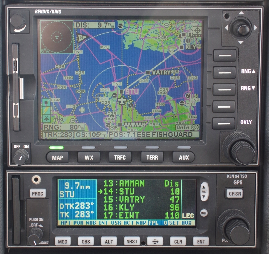
The “Strumble” VOR coming up. Of course, all navigation uses 100% GPS but the IFR routes (the “airways”) are still mostly based on VORs
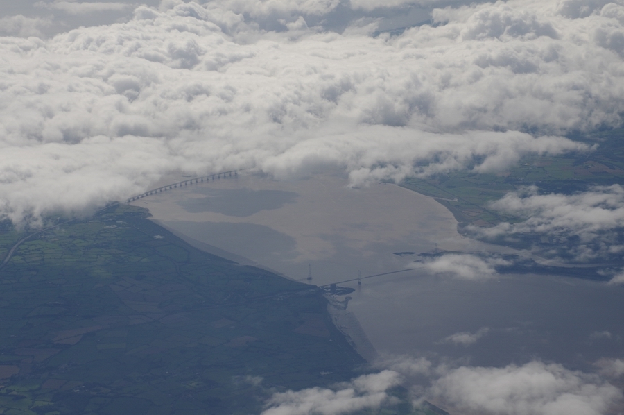
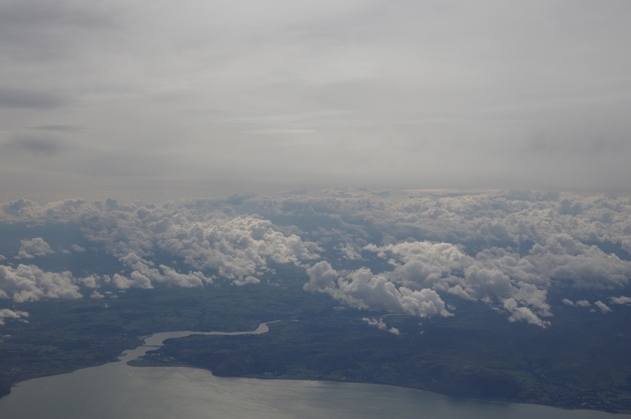
End of the UK mainland from FL160
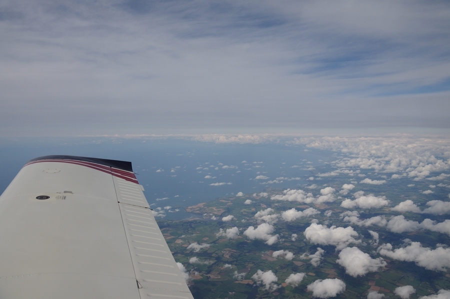
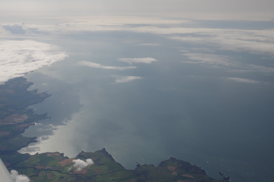
Halfway across the water, commencing a slow descent at -200fpm. It’s interesting to note how much one speeds up with just a slow rate of descent. The pitch is down to about 1.5 degrees which is about half of what it is in level flight
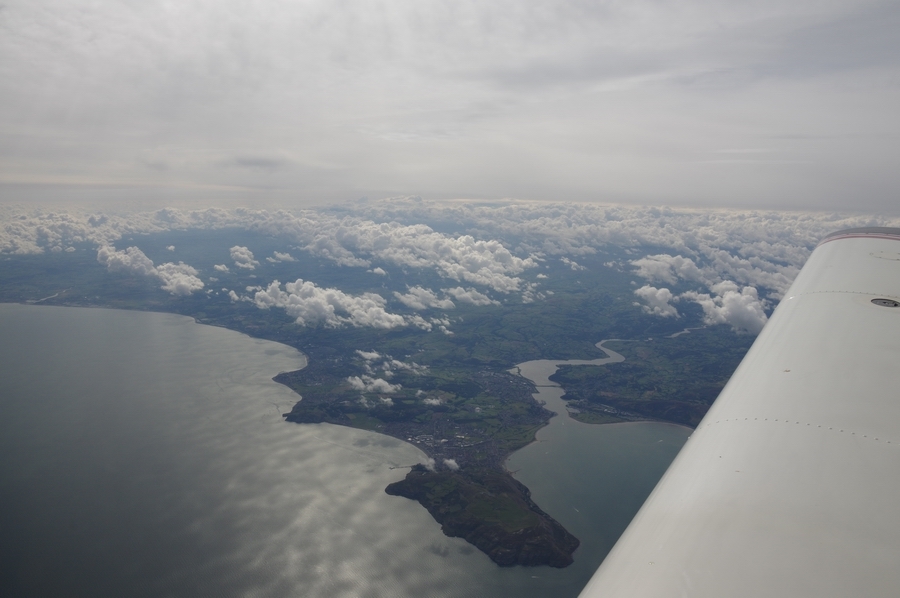
Nearly in Ireland. I was fully expecting to collect some ice in this but it didn’t quite happen; the temperature was not cold enough for long enough
Some showers nearby
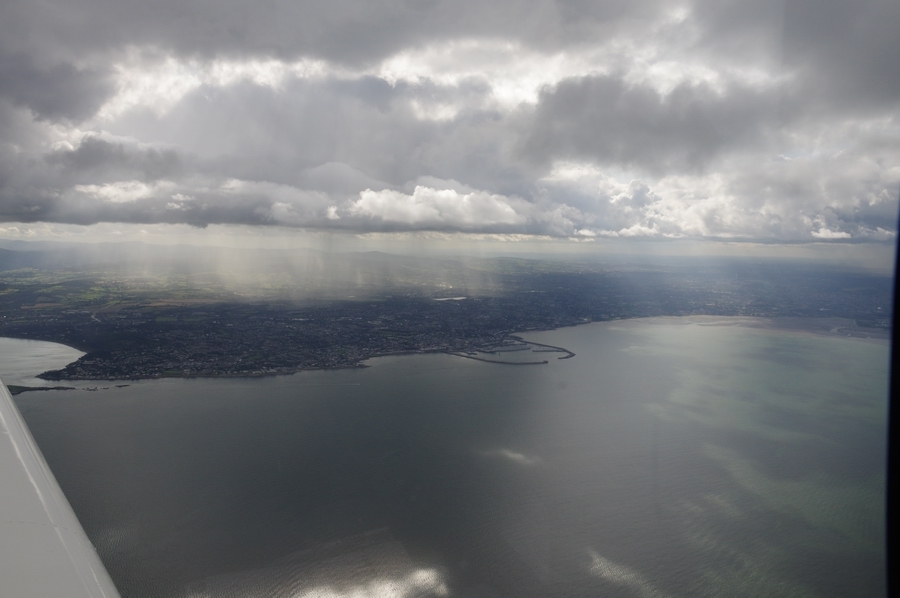
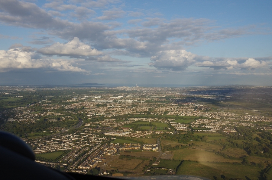
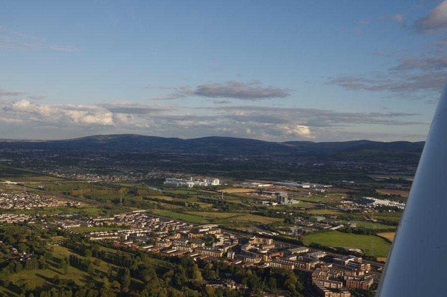
Expensive part of Dublin suburbs
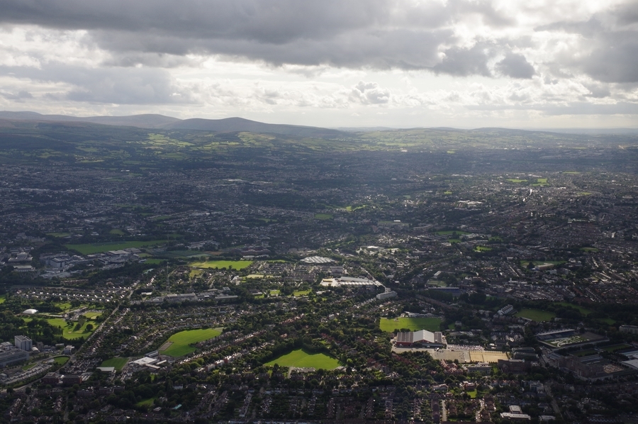
Dublin
Dublin airport EIDW
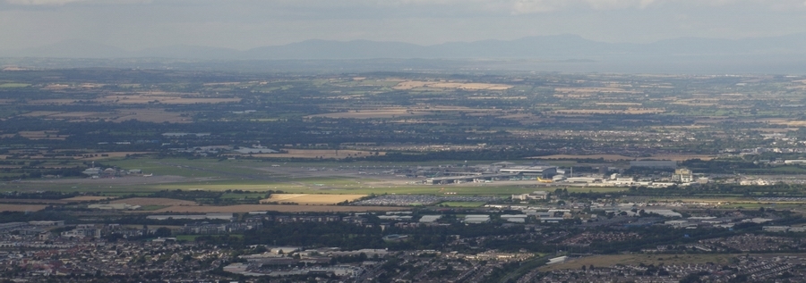
Baldonnel/Casement military base EIME
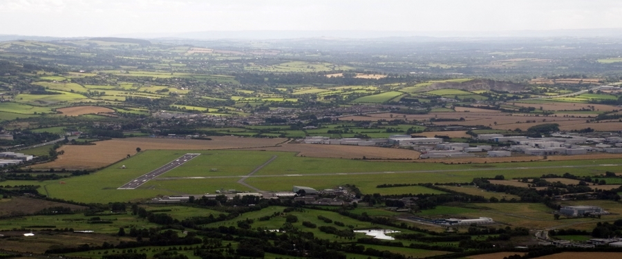
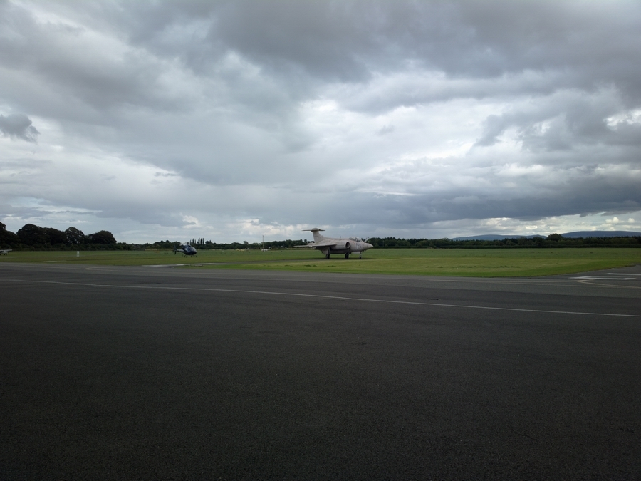
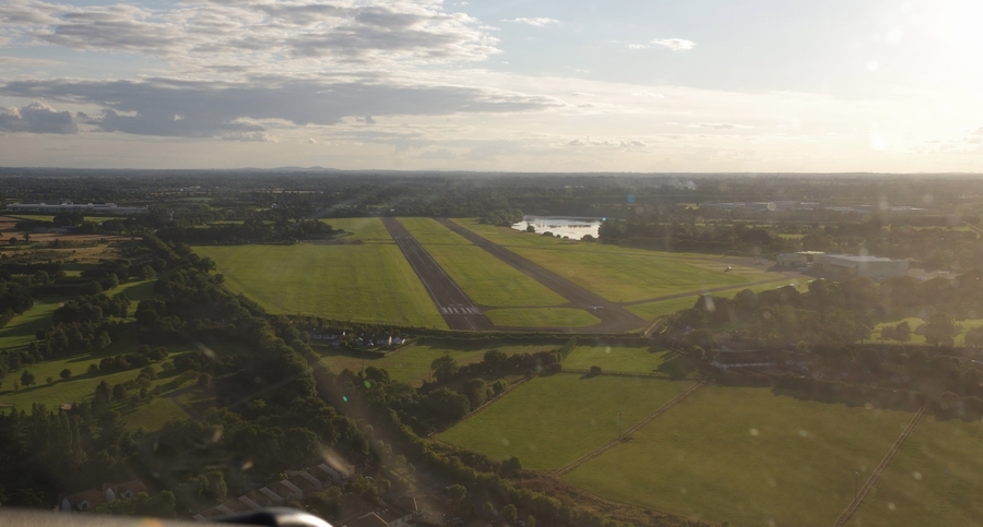
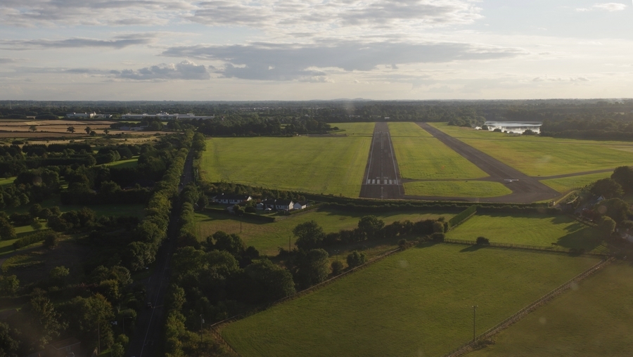
Weston EIWT, from the east looking west
Weston, western apron
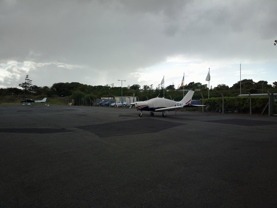
Weston apron. The military jet is a static display
Lough Gamhna, Co. Longford
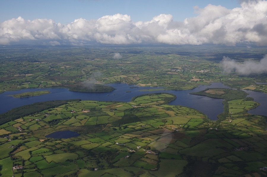
Lough Gamhna – Lough Gowna
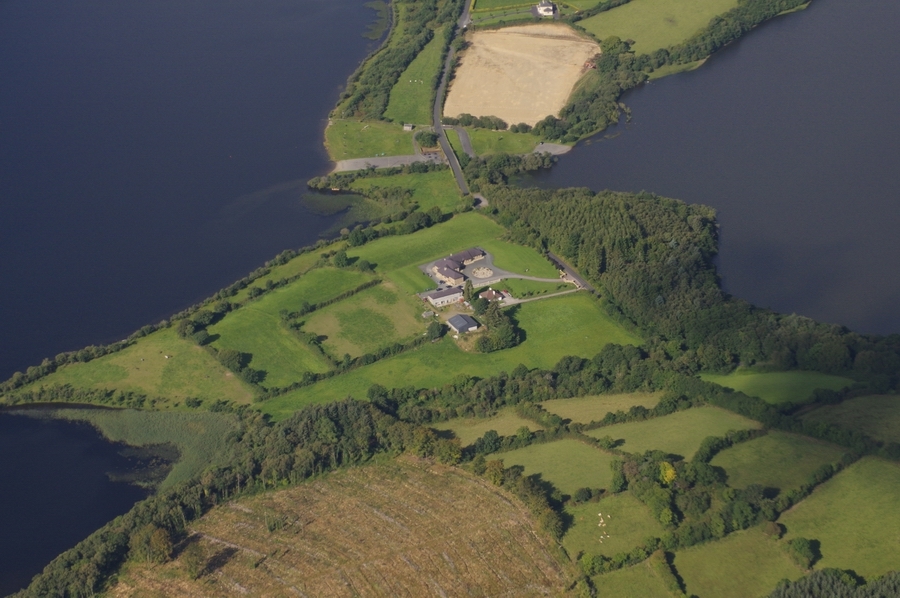
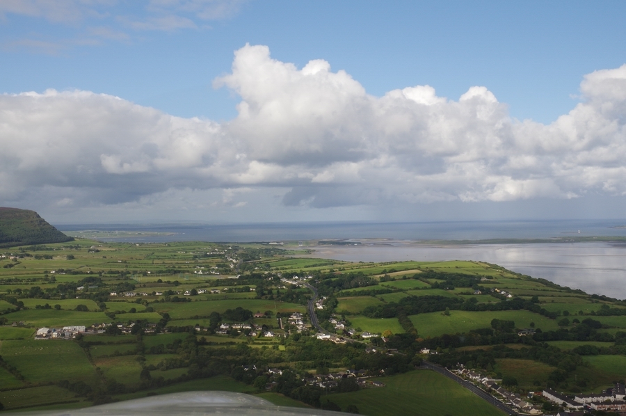
Slieve Anierin, Co. Leitrim
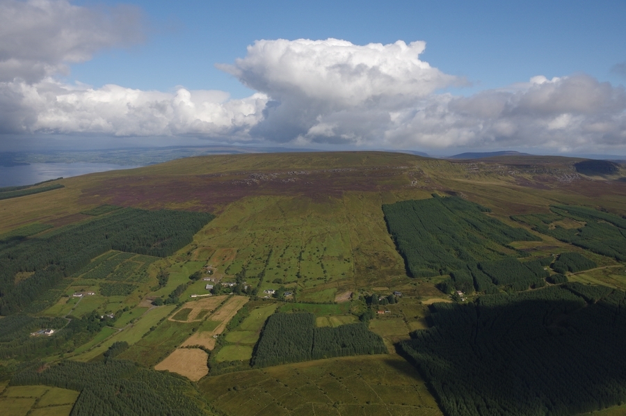
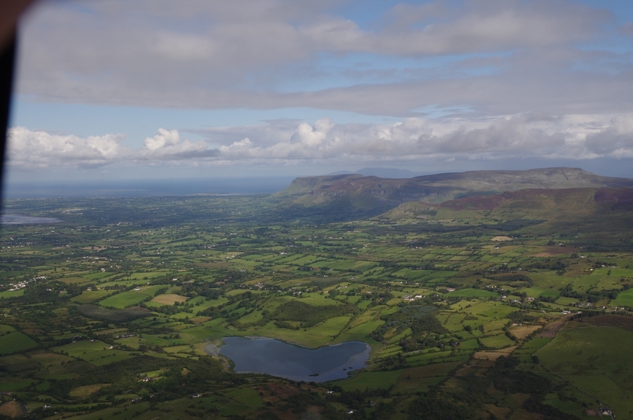
County Leitrim
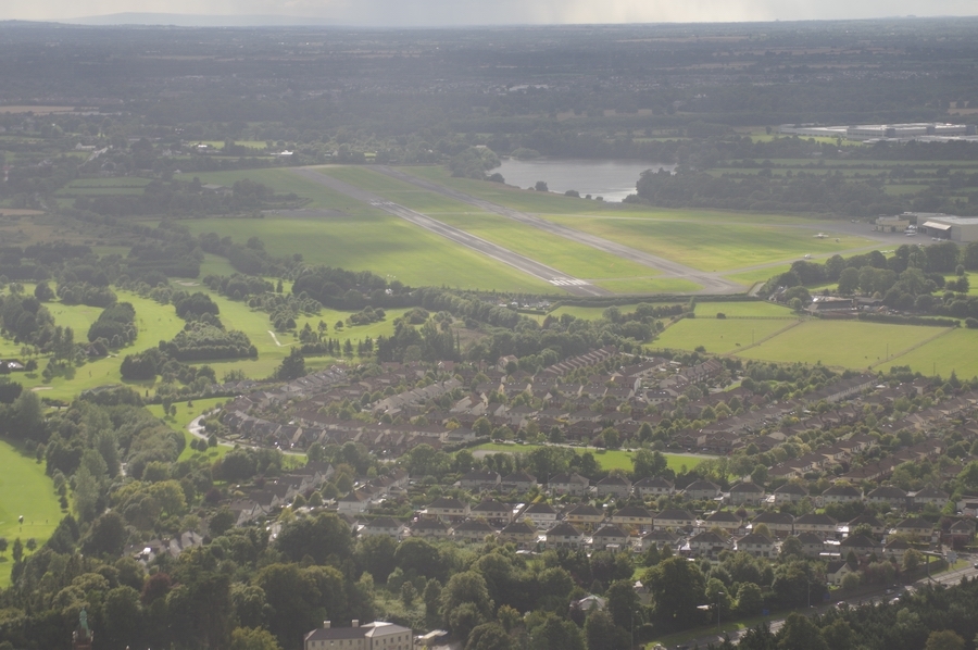
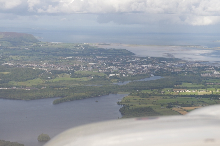
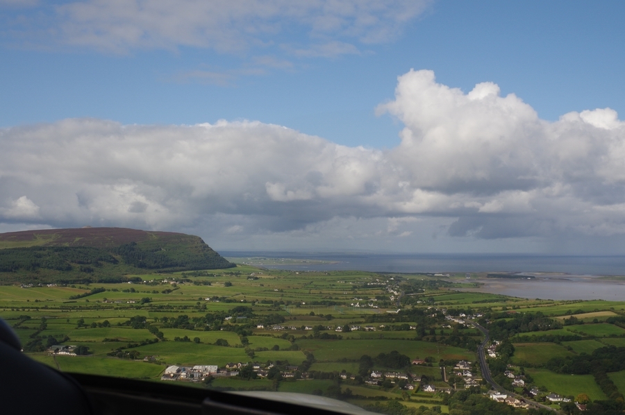
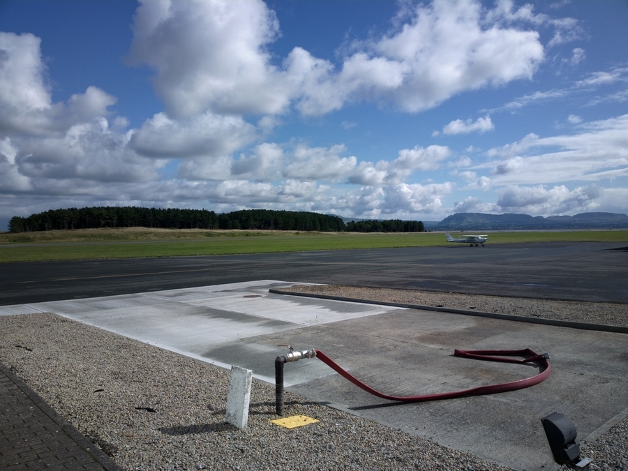
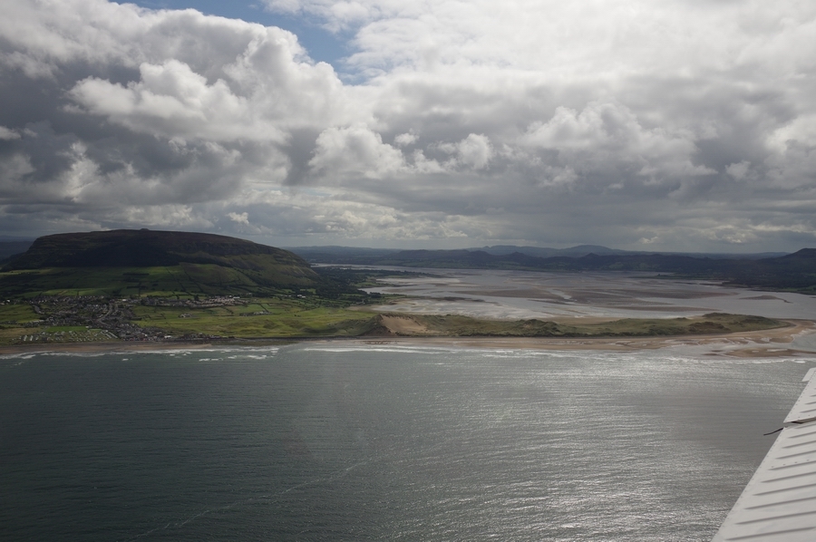
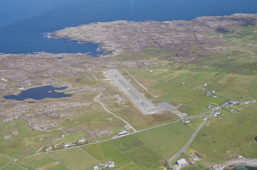
Sligo City & Airport
Final, Sligo
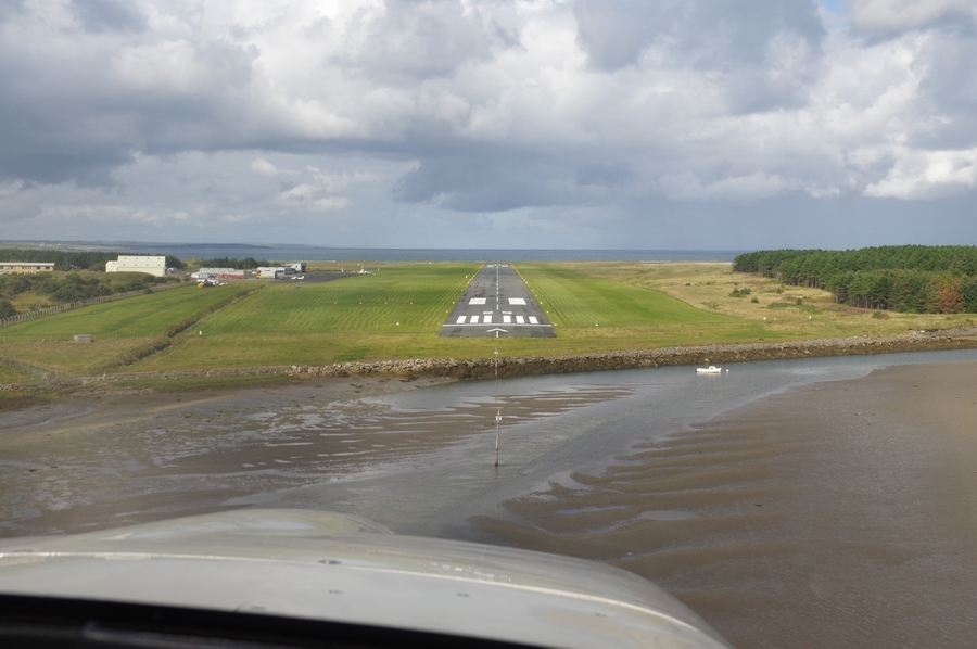
Sligo apron
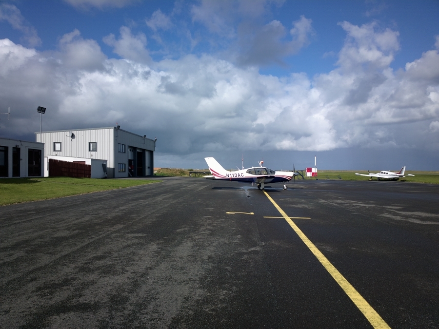
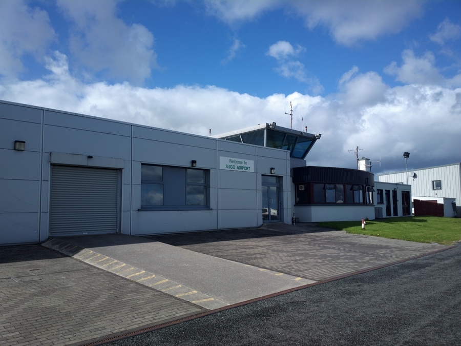
Sligo terminal. They used to have scheduled flights but all have ended
At least they’ve got taste in Sligo

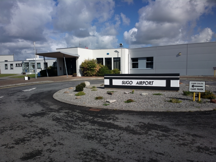
Sligo landside
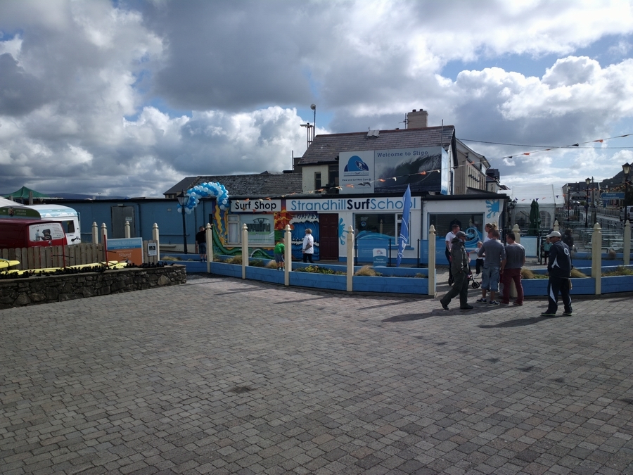
Strandhill, Sligo is a popular surfing location
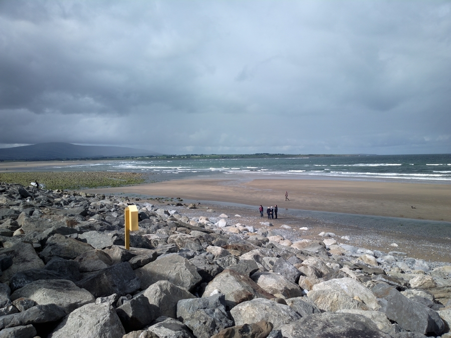

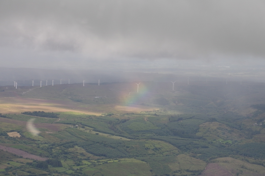
Calm before the storm The bad weather was moving in from the west but very slowly…

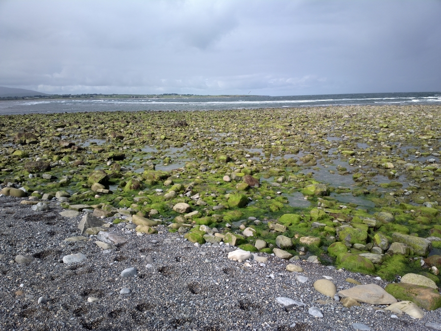
Seaweed baths – no shortage of seaweed here!
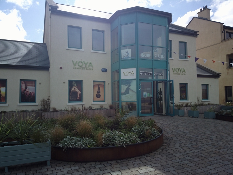
Temporary entertaining – Strandhill, Co. Sligo

Strandhill, Co. Sligo
There is not a huge amount of anything else in Strandhill in Sligo.
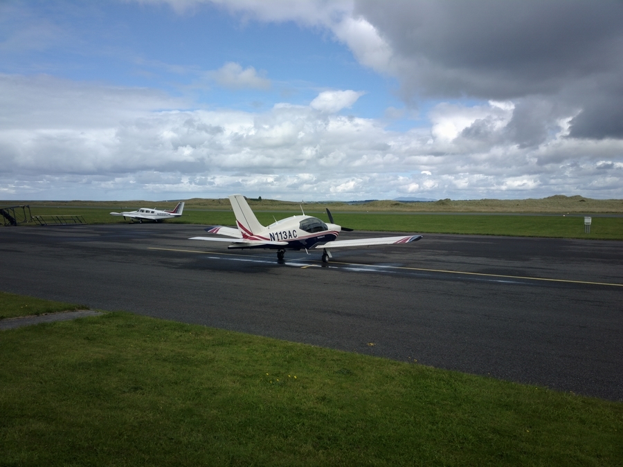
Back to the airport
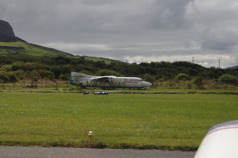
F27 which ended up in sea in Sligo, following a runway overrun. Now used for fire training
Knocknarea (hill) on climbout from Sligo
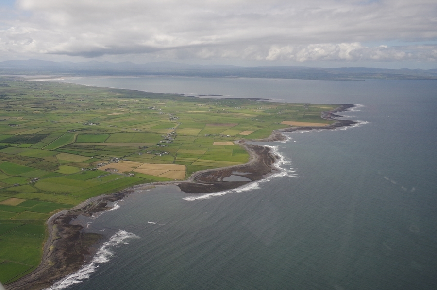
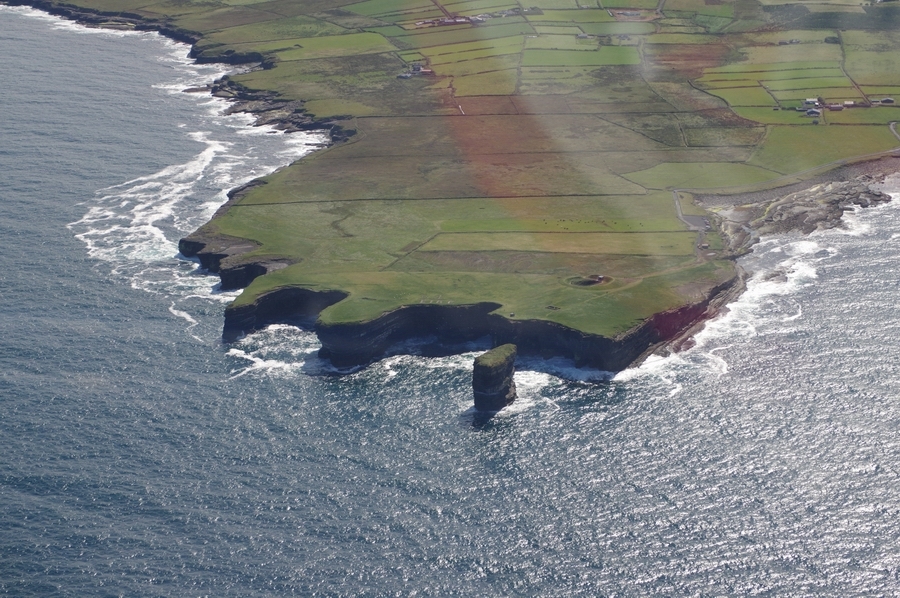
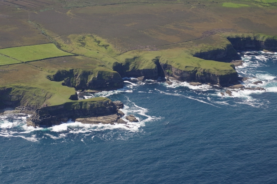
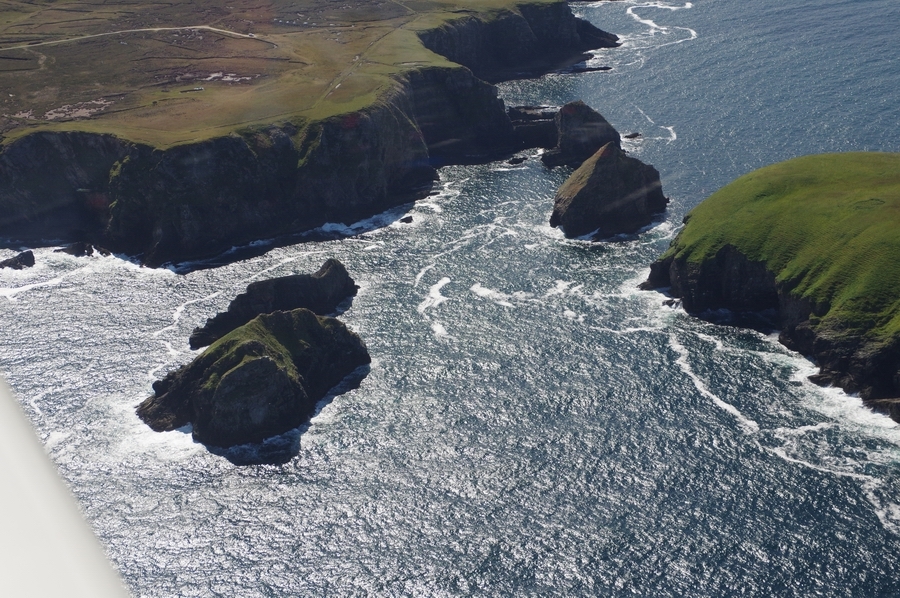
North Coast of Co. Mayo
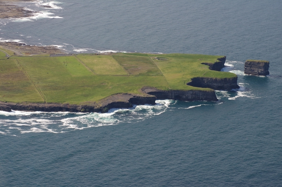
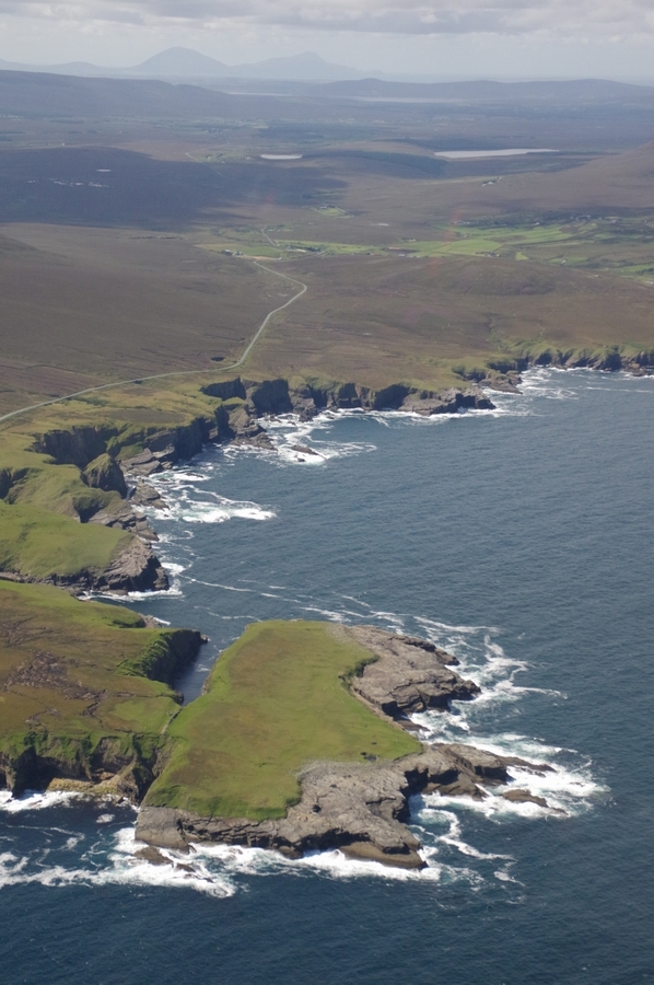

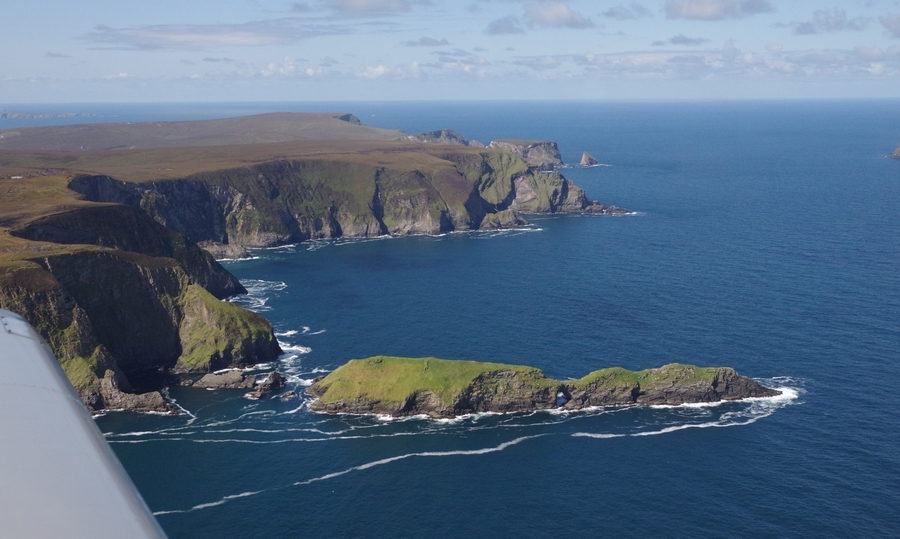
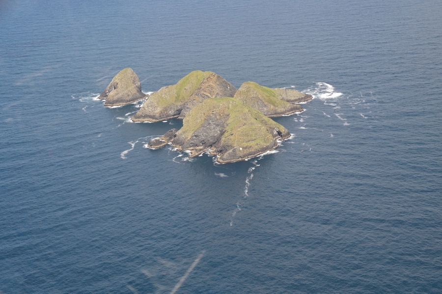
Stags of Broad Haven, Co. Mayo
North Coast of Co. Mayo

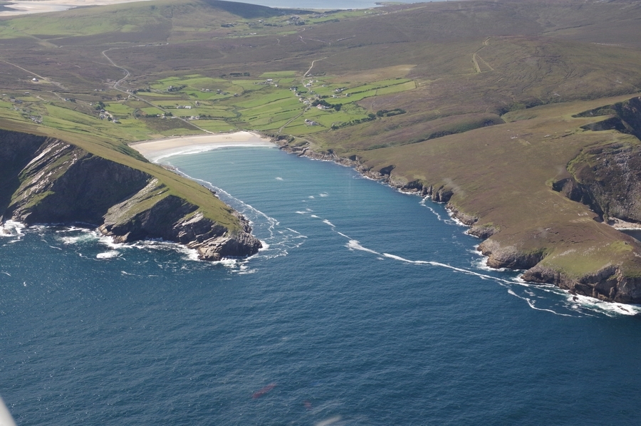
Approaching Achill Island
Keel Strand, Achill Island. Colm stayed in one of those houses for a weekend
Achill Island
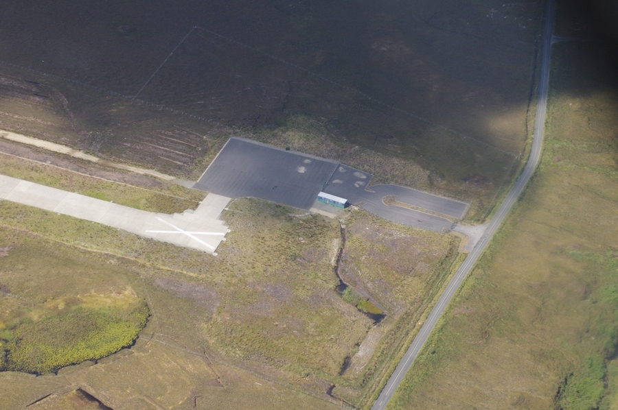
Inishbofin Airport. Never opened to use, and now under government contract to Aer Arran to keep it closed. At least the runways numbers are now painted on the correct end
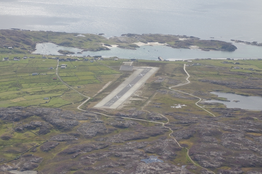
Another closed airport, built recently but never opened
EICD – Clifden Airport at Cleggan. It was to be used for public transport flights to/from Inishbofin. It is also under government contract with Aer Arran to keep it closed

EICD. Apron, and space for a terminal
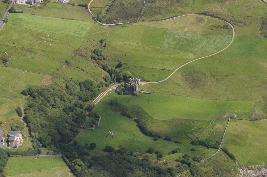
Clifden Castle, Co. Mayo
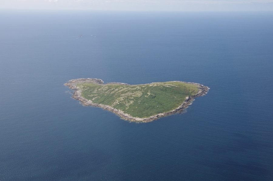
Croaghnakeela Island, Co. Galway
Saint Macdaras Island, Co Galway
Macdaras Chapel-Saint Macdaras Island, Co. Galway
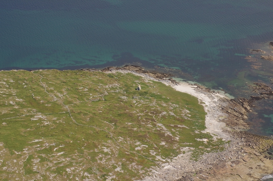

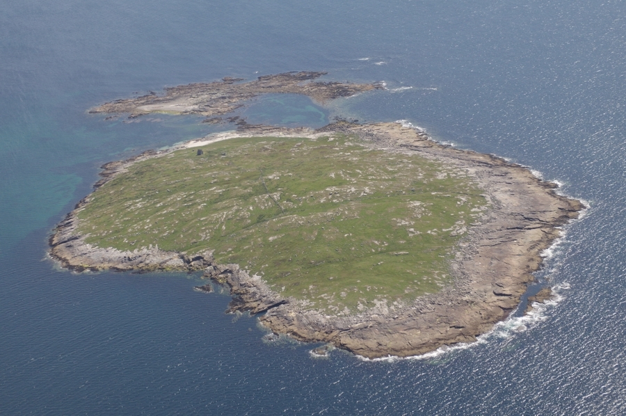
Mason Island, Co. Galway

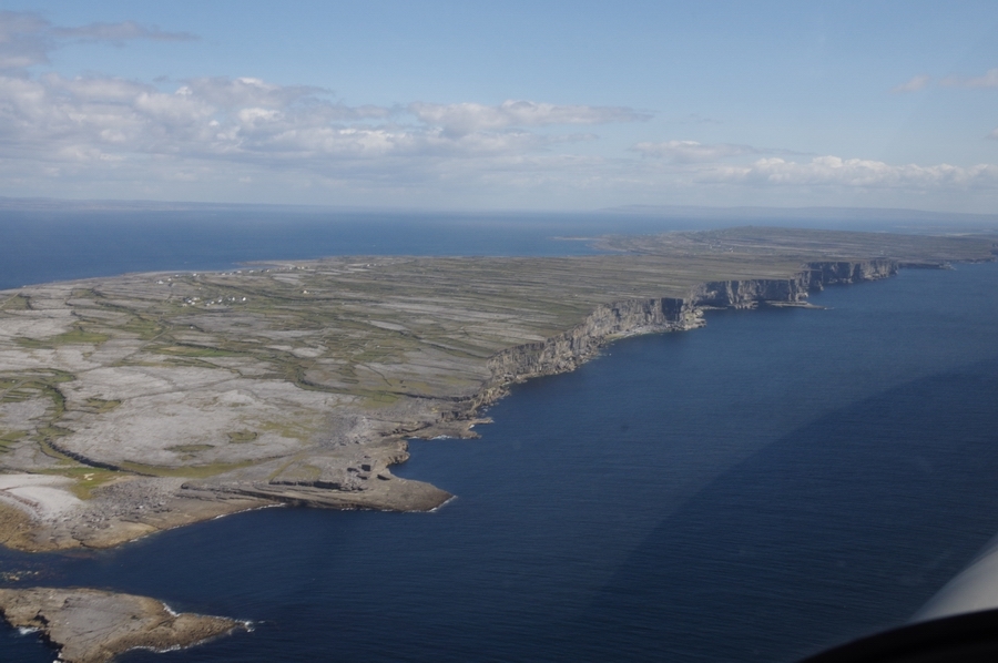
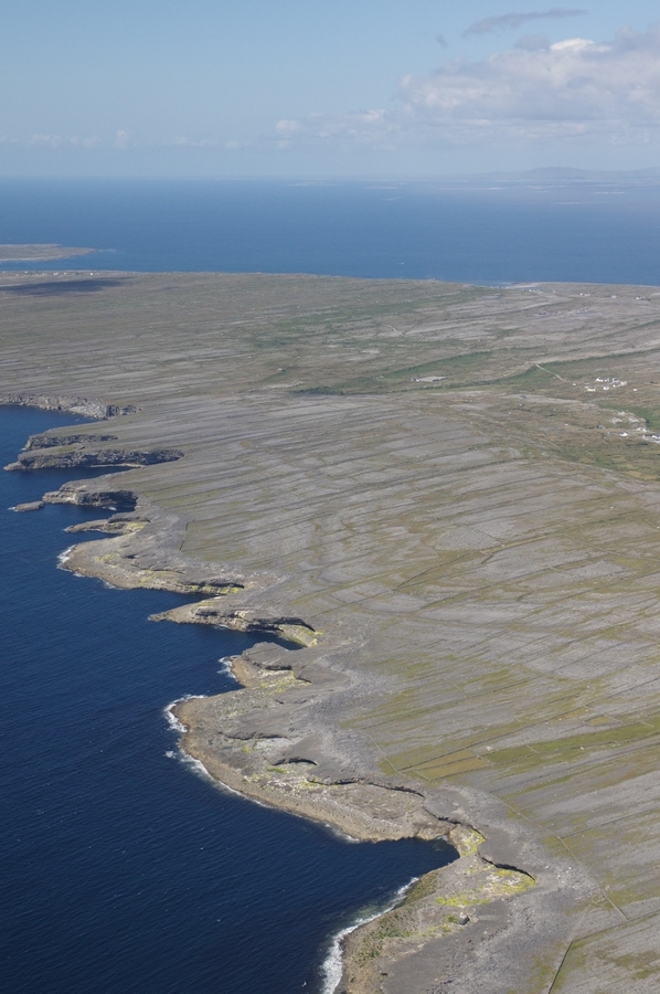
Inishmor, Co. Galway (from the north west)
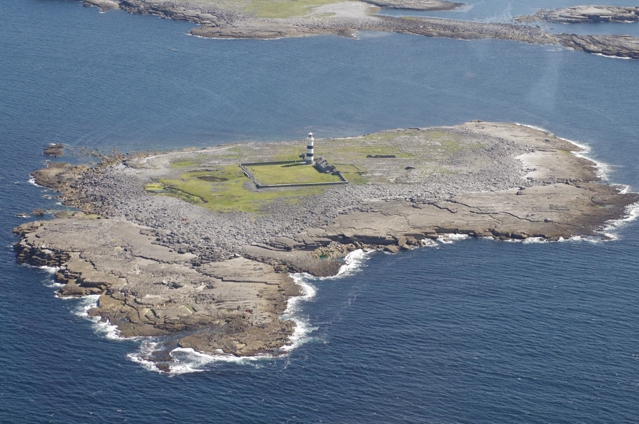
Lighthouse, Rock Island (west of Inishmore)
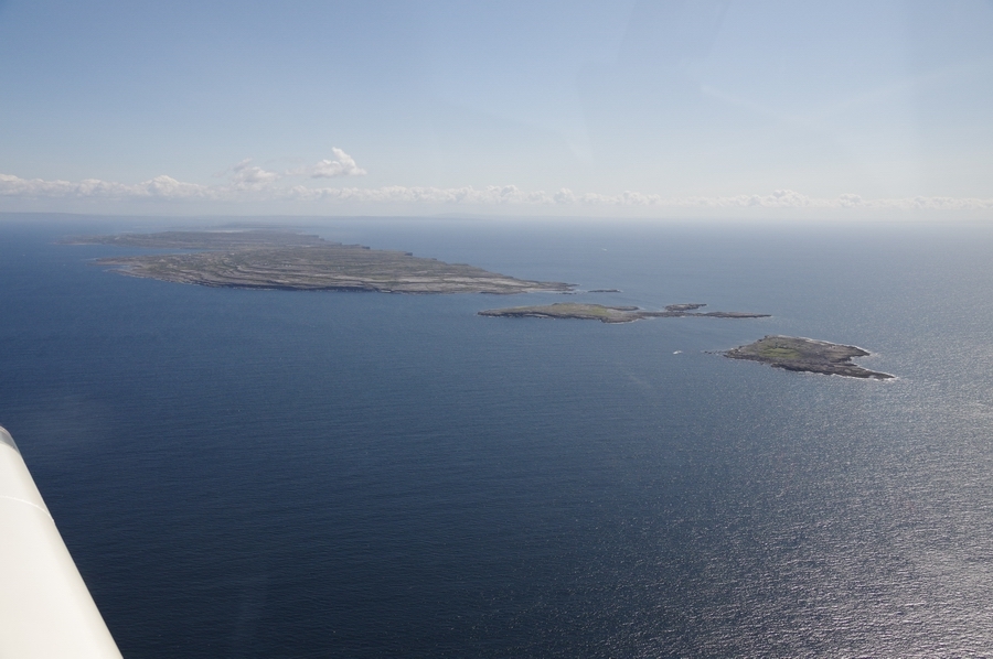
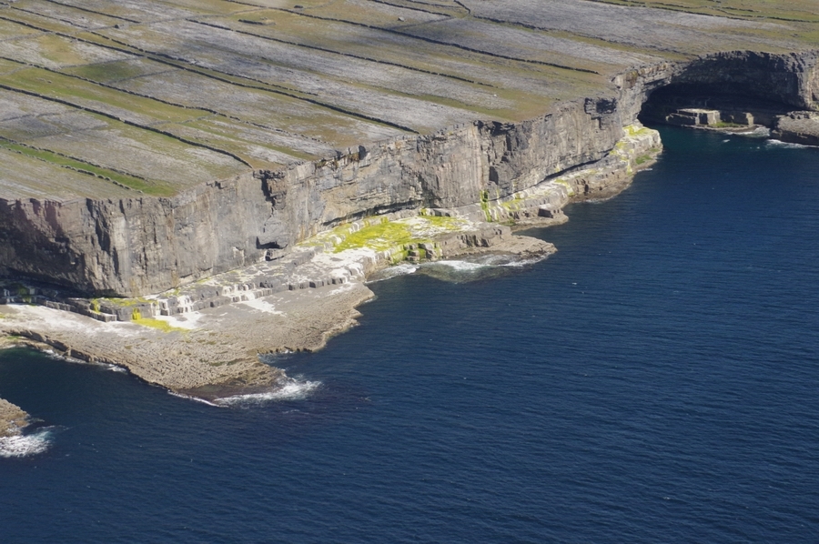
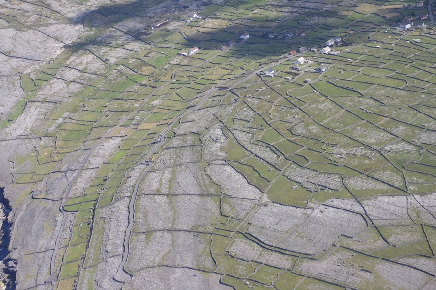
Inishmore-Aran Islands
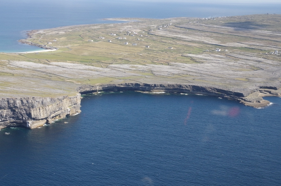
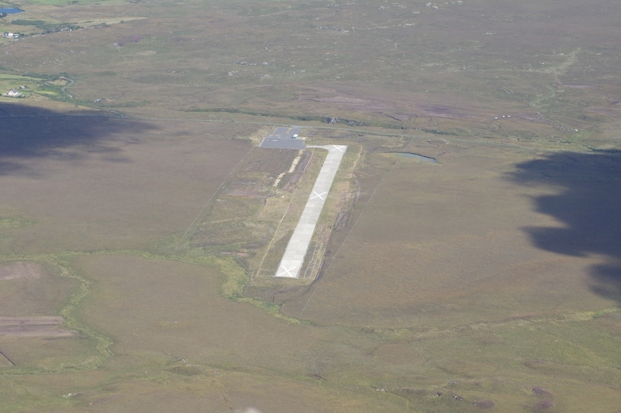
EIIM – Inishmore, Aran Islands
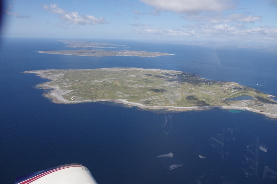
Inishmaan, Aran Islands
Inisheer-Aran Islands
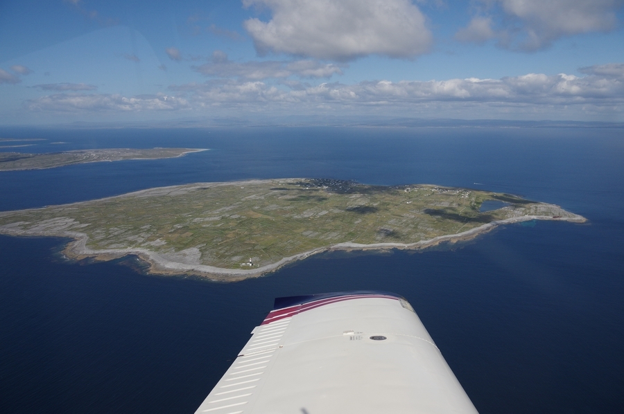
Aran Islands – front to rear: Inisheer, Inishmaan, Inishmor
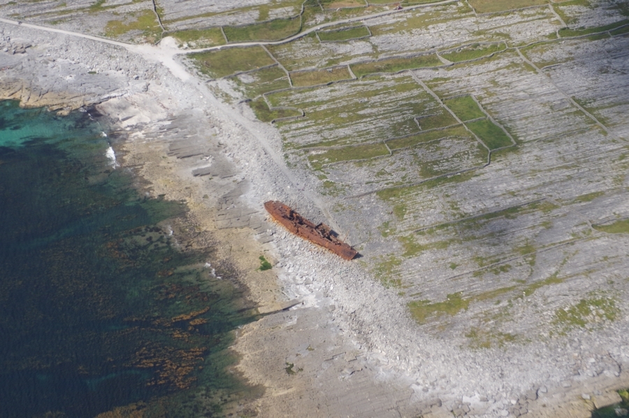
Shipwreck on Inisheer, used in opening credits of Fr Ted
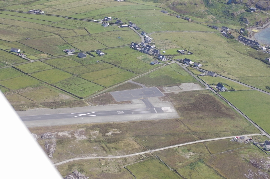
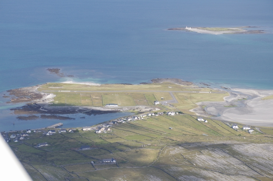
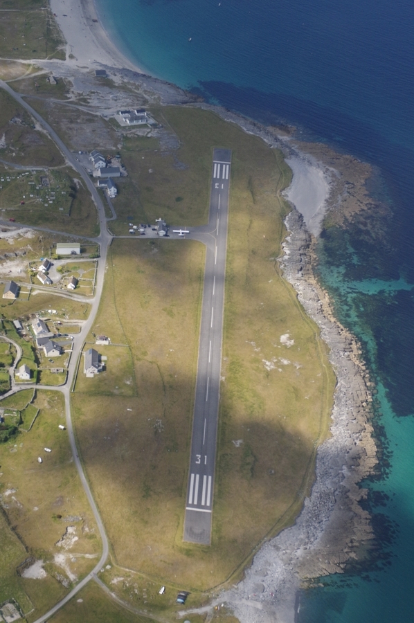
EIIR – Inisheer airport
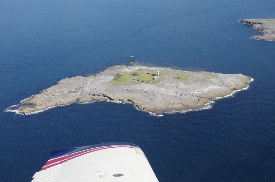
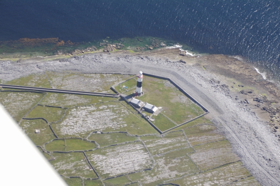
Lighthouse on Inisheer
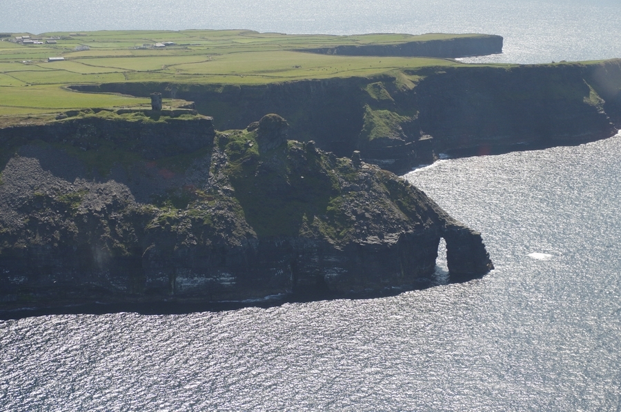
Cliffs of Moher
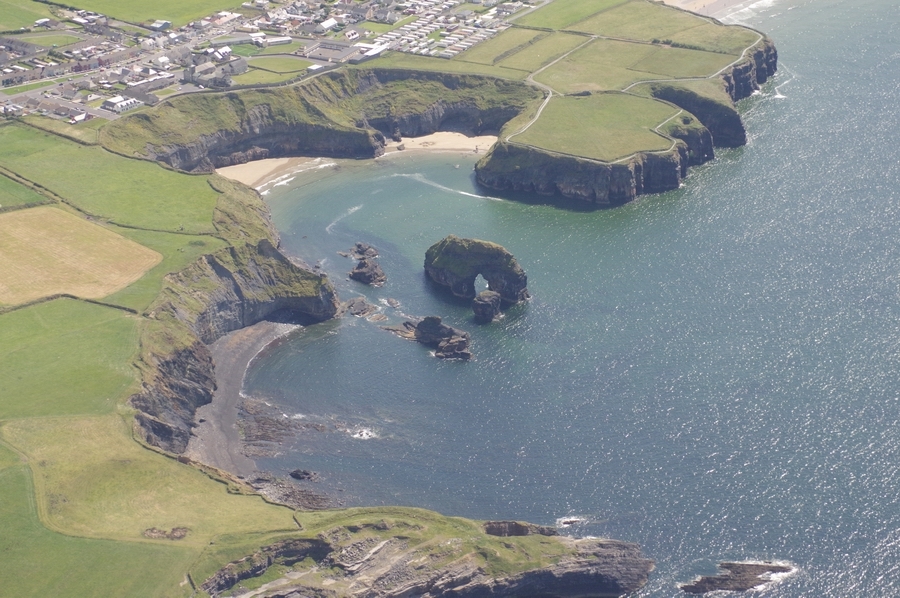
Ballybunnion, Co. Kerry
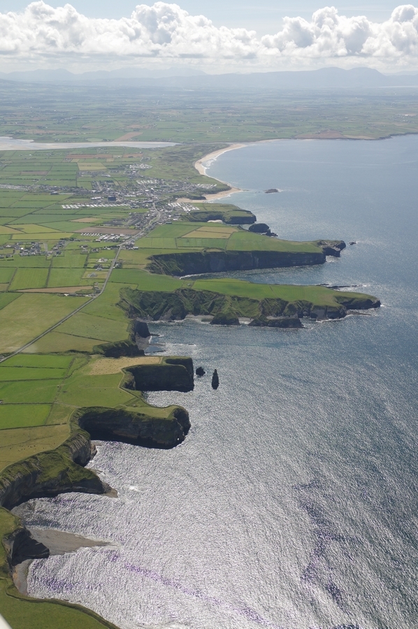
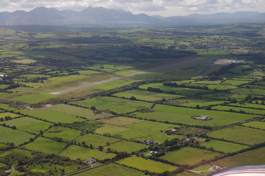
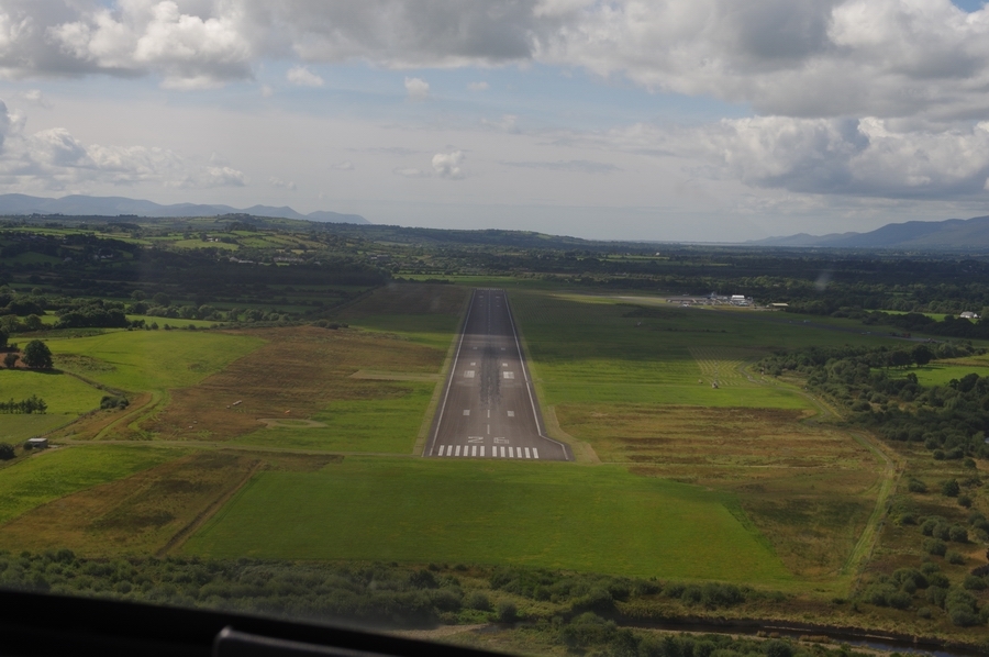
EIKY – Kerry Airport. This one is slightly more busy
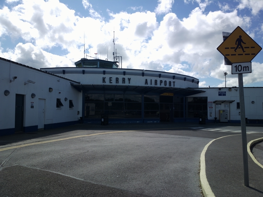
We got a taxi into Kerry. It’s a nice place with plenty of tourist shopping, especially Aran sweaters
Dingle Bay, Co. Kerry
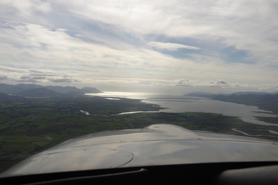
Co. Kerry
Approaching Skellig Islands
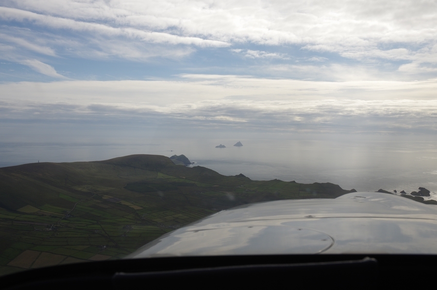
Puffin Island, Co. Kerry
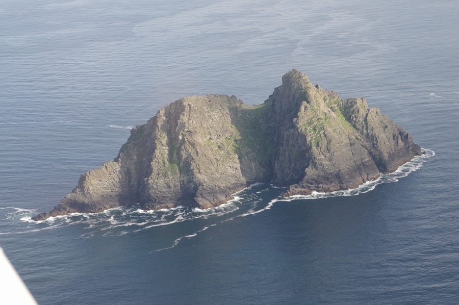
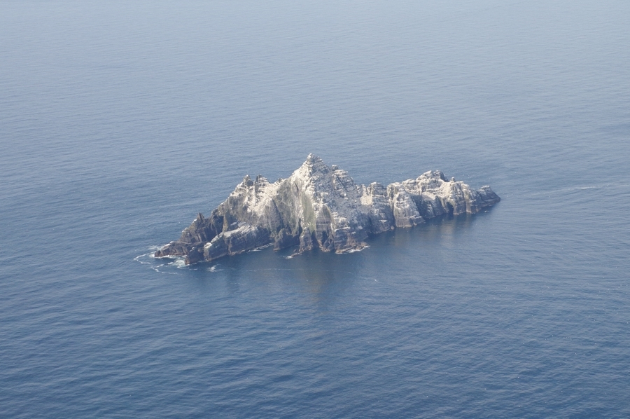
Great Skellig (or Skellig Michael)
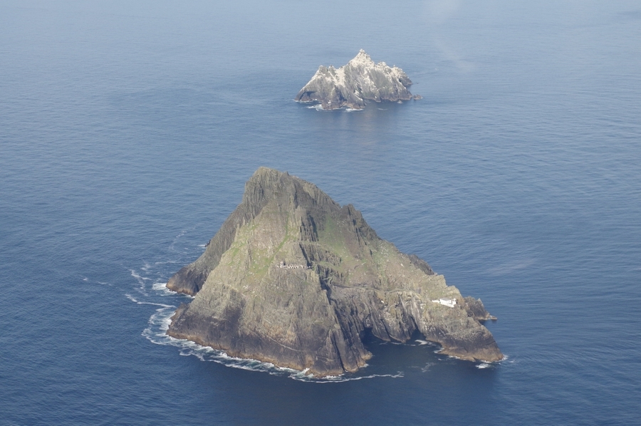
Little Skellig
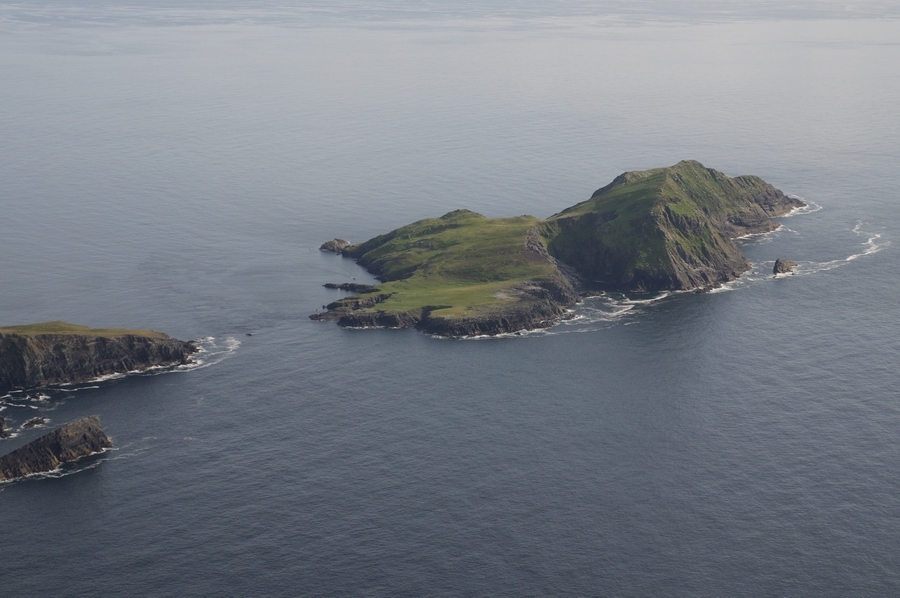
Back to the coast…
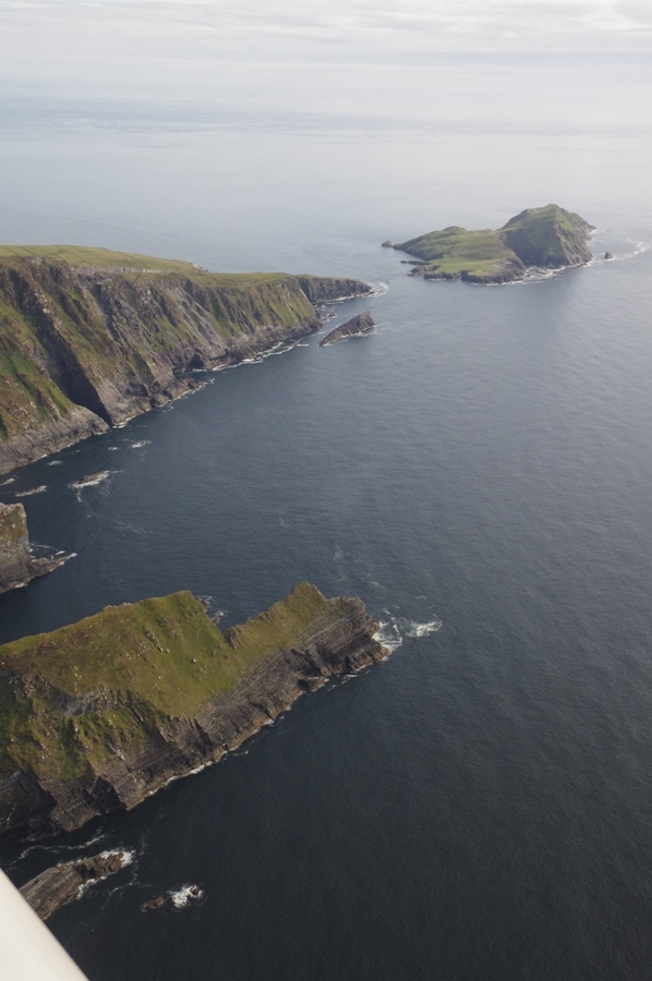
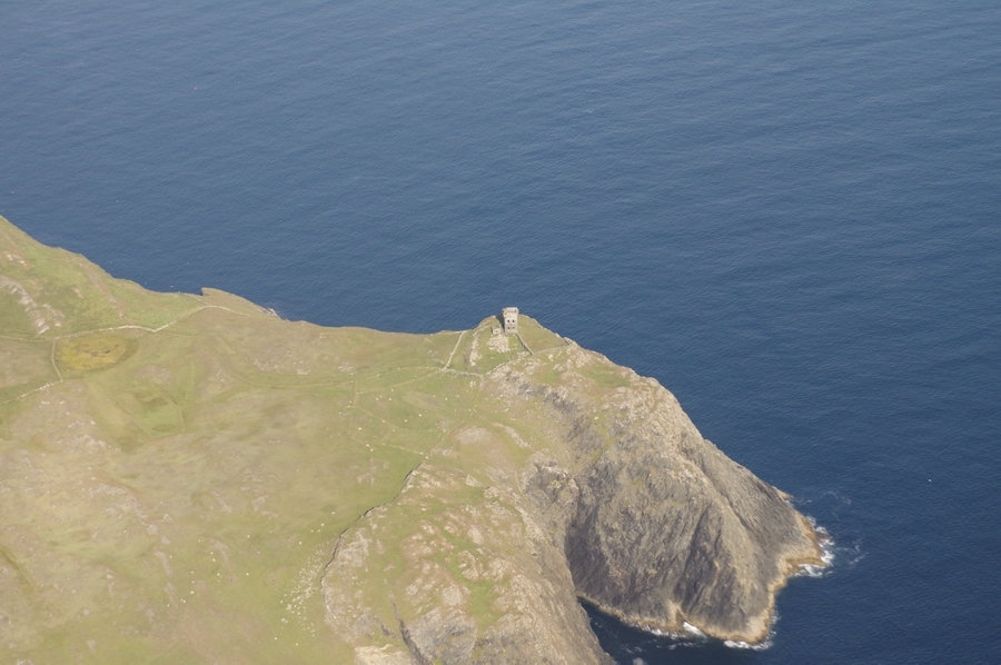
Signals Tower – Beara Pensula
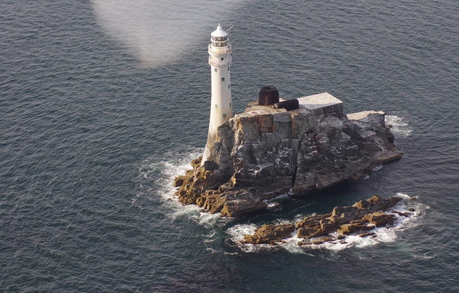
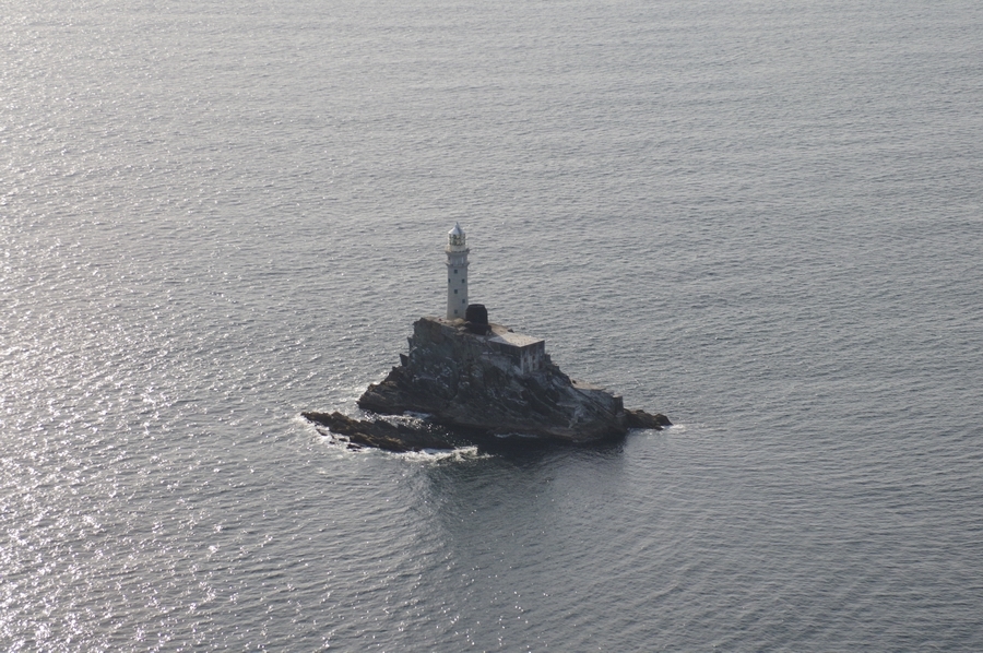
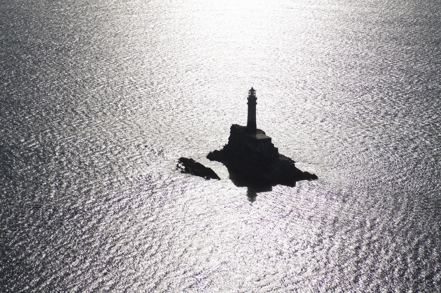
Fastnet Lighthouse – most Southerly point of Ireland
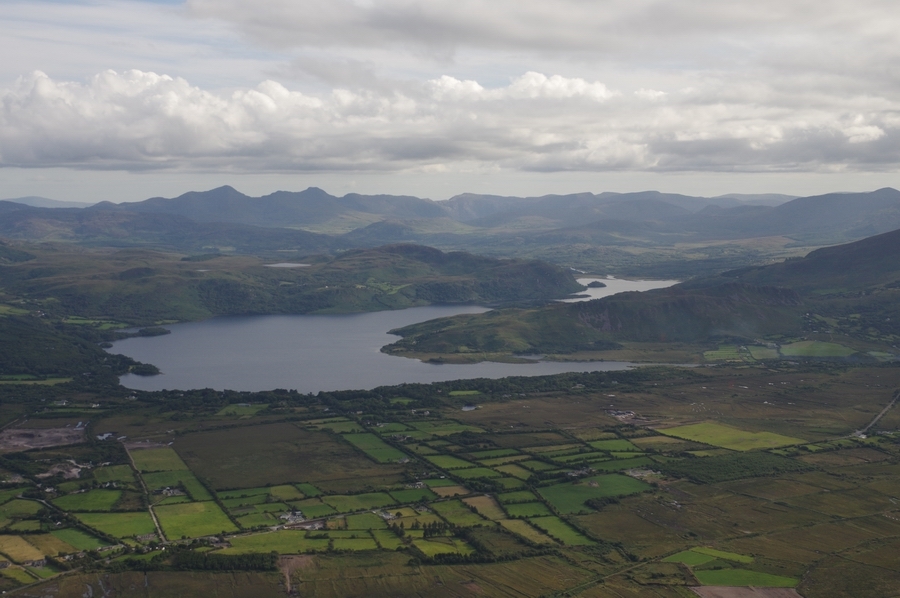
Co. Cork
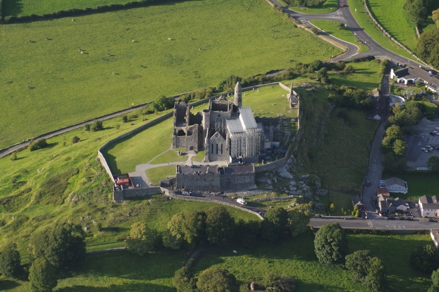
Near Cashel, Co. Cork
Kilcock, Co. Kildare
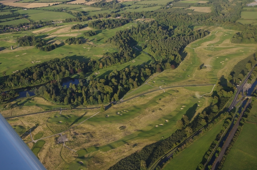
A nice golf course
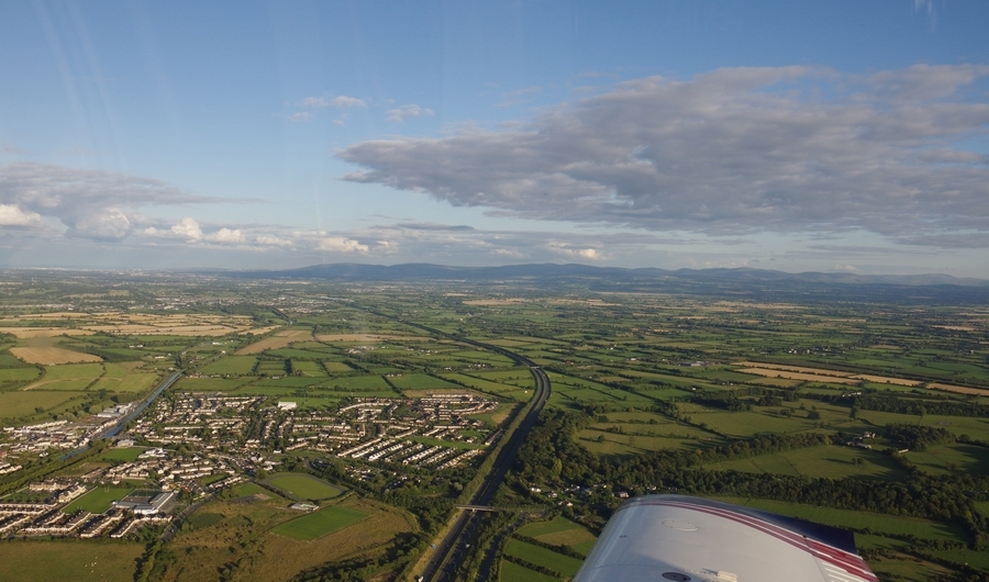
Nearly back to Weston…
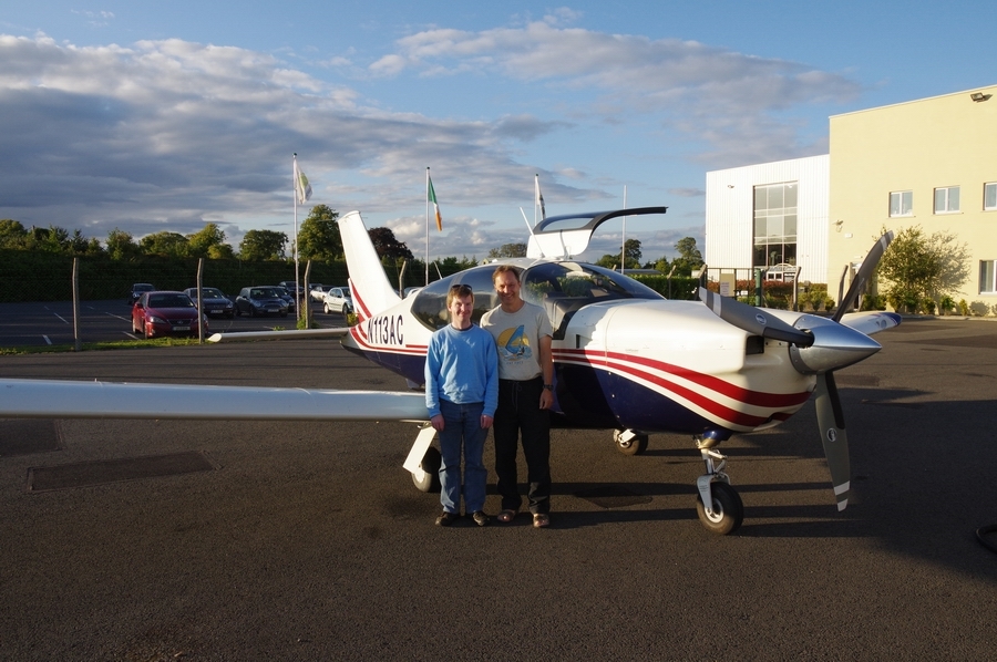
Two happy pilots
On the way back to the UK, there was a layer at around -5C so predictably – within seconds – I picked up several mm of ice
but climbed up through the offending layer fast enough. The 0C level was high enough (about FL100) to provide an easy escape route.

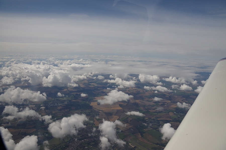
The weather gradually cleared up through the UK
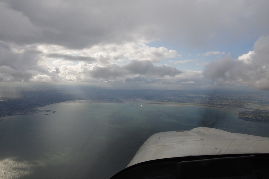
Approaching the south coast and Shoreham, descending through FL070
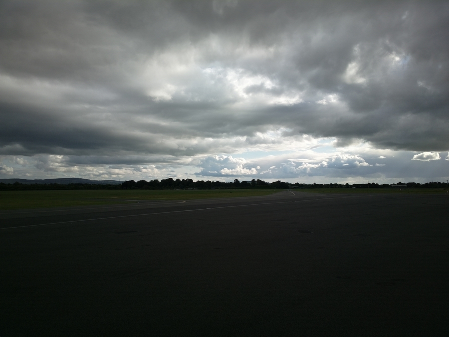
The following day we had this
What this trip shows is a combination of high altitude IFR for getting somewhere and low level VFR for the scenery. Each is a tool for a different job.
These are the PocketFMS “breadcrumb” tracks:
Weston-Sligo
Sligo-Kerry
Kerry-Weston
Flight times (airborne times):
EGKA-EIWT 2:50
EIWT-EISG 0.45
EISG-EIKY 1:30
EIKY-EIWT 1:45
EIWT-EGKA 2:05
Thanks for posting the unpublished departure procedures for Weston. First time I heard of them was when I called for start and clearance on the way out on Saturday.
Nice! But what is with all these new, but closed, airports? I thought only the Spanish did that…..
Here is a brief video
It was done with the phone and while the original is great quality, it suffered a lot from hand shake so I used the youtube “de-shake” function to try to remove it. Vimeo (where I pay $50/year for a superior quality service) don’t have this at present and for some bizzare reason my normally very capable – if horrendously complicated – video editor (Vegas v11) has the “stabiliser” plug-in missing and I can’t find it anywhere online… The youtube de-shake introduces a bit of jumpiness…
This video is private…


