in switzerland, southwesterly flows seem to be notoriously hard to predict, too.
They are hard to predict for the “when, where”, not so much for the “what”. Fronts can move fast, slow, stop for a while and, in rare cases, reverse course. Add to that the “Föhn” and yea, it’s aspirin days for the forecasters. Or get a cold front which starts out with isolated CB’s and works itself into a nice squall line, only to fall apart again just after you’ve alerted everyone to the said line. I’d have to admit, one of my most satisfying moments in this business was when we predicted a massive squall line and eventually it did arrive almost on the minute with almost 60 kts of gusts and absolutely horizontal rain. Looked like from the inside of a car wash at the station. Made my day that one did, particularly as I knew it would be over by the time I was to go home.
From the Observer/Metar kind of workflow they are mostly routine however. You know where the weather is coming from and where it’s headed and radar/sat gives you ample of warning.
Fog/Mist is a very different piece of ballgame. Especcially in this season now, you can go from VMC to CAT IIIa IMC in a few minutes and back. I had something like that a few days ago, oh dark thirty (early morning hours). Went up the roof to do the observation, had 6 km visibility and shallow fog below me on the meadows, not the runways, with no perceivable motion or development, sky clear and visible(which of course is an alarm sign). Walked back down (one set of stairs) and entered the figures, rised my head and looked outside and saw…. nothing. Totally grey. RVRs, which had been totally clear now showed 400m on the northern units, which is where I am sitting. Switched on my backup lights (we’ve got one at 200, one at 400 and one at 600m) and went back upstairs for a quick confirmation and yep, there it was, the 400 m light was just about visible, all the rest gone, sky gone. Took all but about 4 minutes.
Sent the METAR out, went to the kitchen to pour myself a tea. Walked back into the observation room (a trip of maybe 4 meters one way) and almost dropped the cup: Whole airport fully visible. This kind of thing went back and forth a few times, including SPECIAL reports issued every time visibility passes the prescribed values, thankfully outside ops hours and finally had a partial fog on the north part of the field and unlimited vis on the south. As they were approaching from the South, they operated pretty normally.
Cold front passage? Any day for me please :)
The other bit which can rise your blood pressure are convective situations without fronts involved, so the typical summer heat convection. They can pop up from a humble fluff in the sky to a grown up CB (Cumolubumpus according to John Deakin) in faster than you can go to the head and back and collapse again just as you type the lightening alert or change direction and path quicker than any local politician I am aware of.
Most of the other stuff takes a bit longer to develop and allows you to get a pretty good grip on it.
From the observer’s seat, the immediate timeframe of interest ist the next 2 hours, because that is how long the METAR is valid and that is for which time frame you need to predict trends. Of course you need a pretty good idea for the next 12 hours or so in order to do that, but at least you are not the one having to decide on the rainfall quantity for remote villages or give advice whether a wedding reception can be outside or inside. Believe me, it is much nicer to brief aviation professionals!
How many clouds layers in a metar or TAF ?
Good morning Gentlemen,
all is in the title…
How many cloud layers one can find in a metar or a TAF ?
Is there a limit ?
Excerpt from WMO FM15:
15.9.1.3 The cloud group shall be repeated to report different layers or masses of cloud. The number of groups shall not exceed three, except that significant convective clouds, when observed, shall always be reported.
Note: The following clouds shall be reported as significant convective clouds:
(a) Cumulonimbus cloud (CB);
(b) Cumulus congestus of great vertical extent (TCU). The contraction TCU, taken from the term “towering cumulus”, is an ICAO abbreviation used in aeronautical meteorology to describe this cloud.
15.9.1.4 The selection of layers or masses of cloud to be reported shall be made in accordance with the following criteria:
1st group: the lowest individual layer (mass) of any amount, to be reported as FEW, SCT, BKN or OVC;
2nd group: the next individual layer (mass) covering more than two oktas, to be reported as SCT, BKN or OVC;
3rd group: the next higher individual layer (mass) covering more than four oktas, to be reported as BKN or OVC;
Additional groups: significant convective clouds (CB or TCU) when observed and not already reported in one of the three groups above.
The order of reporting the groups shall be from lower to higher levels.
Thx!
EGKA 121058Z 1212/1219 02009KT 9999 SCT025 PROB30 1212/1213 9999
I’ve often wondered if these are typed in by hand? As only that could explain the strange typo’s that you occasionally see.
They are definitely human-generated. AFAIK, in Europe, only France has software-generated TAFs and they have generated some comments from French pilots I know…
The next TAF is fixed:
EGKA 121327Z 1213/1219 02009KT 9999 SCT025
Looks like pretty good weather for the UK in mid October. ;)
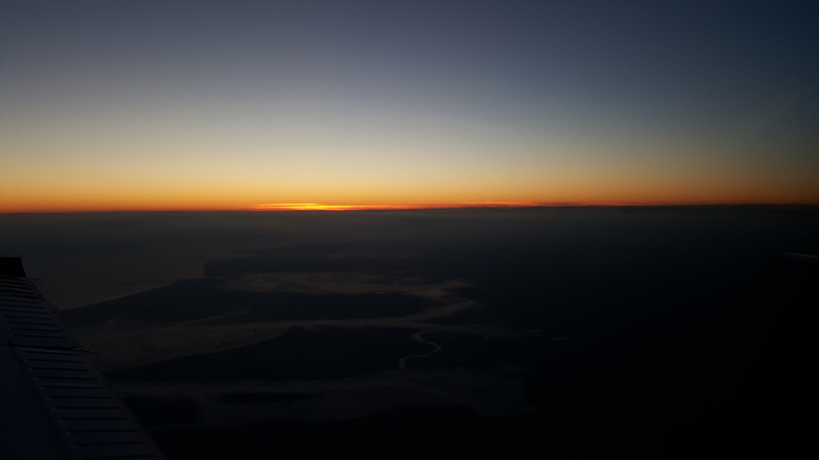
Yes; I went up just now to get a better one of these (yesterday)

but failed
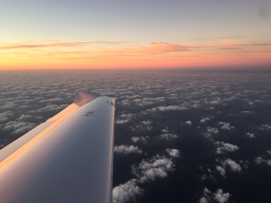
Nice pictures Peter! This was last week over the North Sea flying home from Duxford: