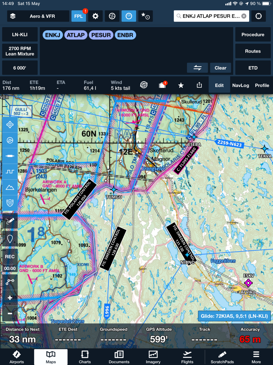
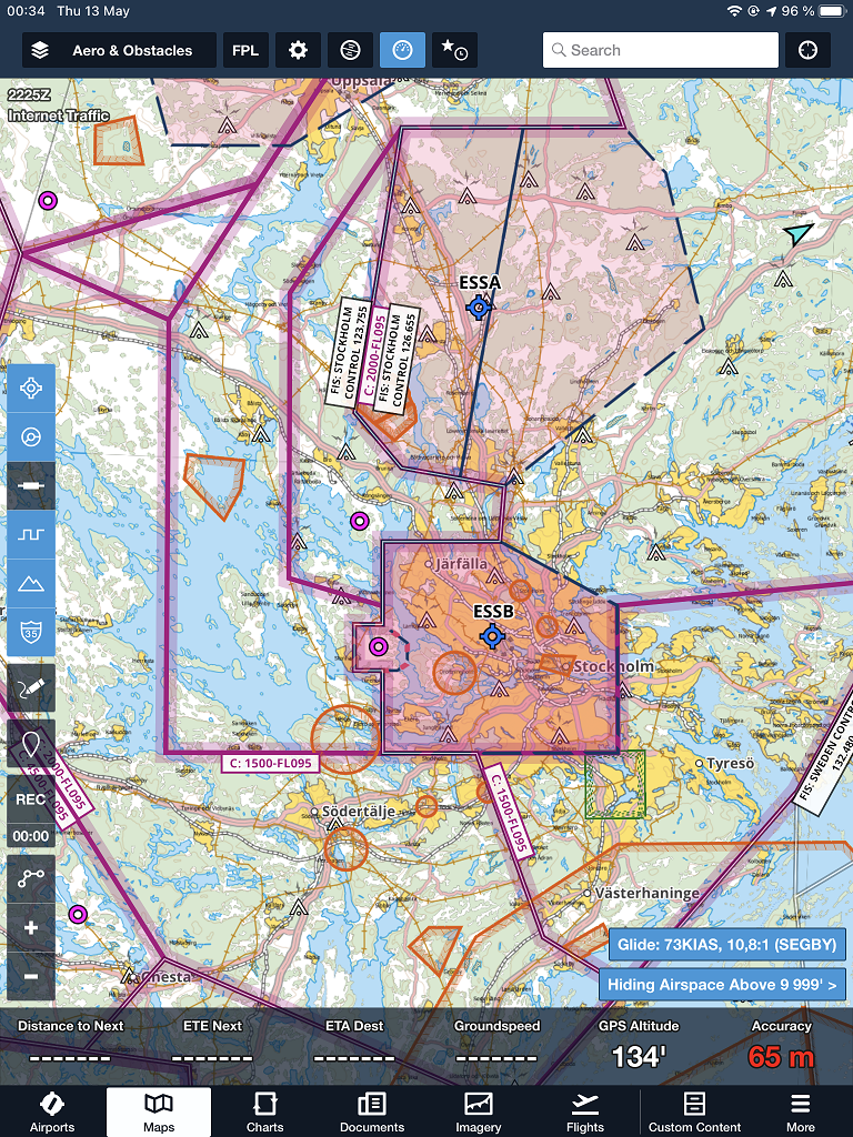
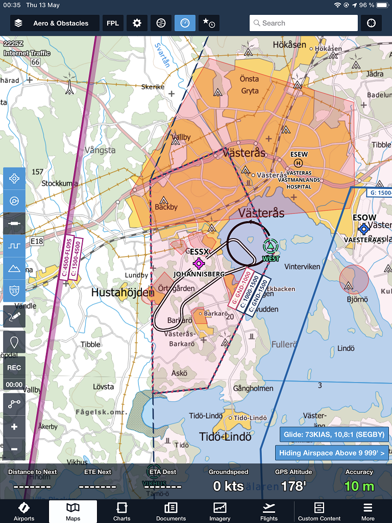
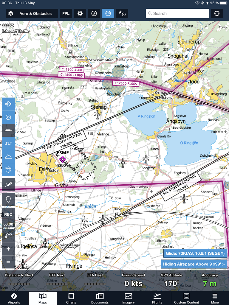
Swedish pilots are used to flying with the popular KSAB TMA charts, not available in ForeFlight. While ForeFlight includes the ICAO charts for purchase, I find them inferior and of bad quality.
ForeFlight has great airspace data already, so there is no reason to include that in a basemap. However, ForeFlight’s default basemap kind of …sucks… for visual navigation should one lose the GPS signal.
I have therefore created a KSAB-like basemap chart that plugs right into ForeFlight. The data is sourced from the Swedish Land Surveying Agency’s översiktskarta, and is styled, rendered and exported by me to a .mbtiles file in QGIS. It can be imported into ForeFlight via AirDrop or iTunes, using the instructions available here.
Feel free to use it and let me know if you have any feedback.
Download link: https://www.jottacloud.com/s/184a31a62e979c745b4bc3218edb476f16d
Du har för mycket fri tid. 
Ja, vet dock inte om det är bra eller dåligt. 
Very nice!
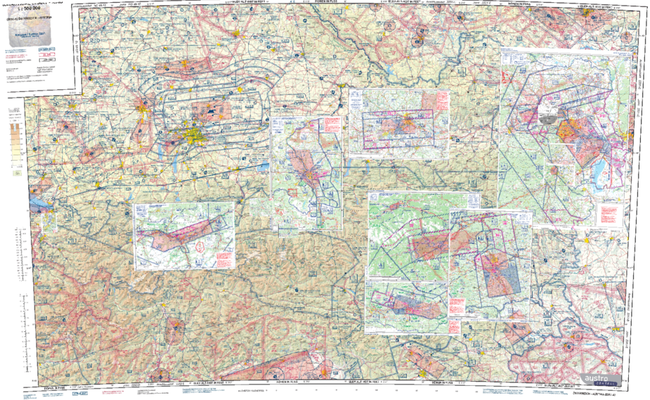
Any chance you could reference this map too?
https://www.austrocontrol.at/jart/prj3/ac/data/dokumente/20210423_ICAO500_2021_VS_raster_CMYK_600_200_2021-04-26_1304794.pdf
The freeware maptiler gives me a very low res map and some other problems.
Here you go: https://www.jottacloud.com/s/1847480076b0e834613b7b67b225df784fa
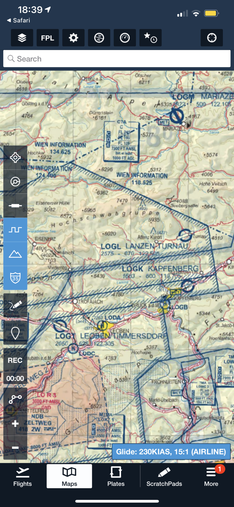
That’s about as good as it gets with cubic oversampling by a factor of 2, given the source data is in a raster format. This took me way longer time than it needed since FF already includes georeferenced VACs. However, .mbtiles load faster since the iPad doesn’t have to load a huge PDF file.
Just load the files in FF in the correct order, so that the bigger charts do not overlap with the smaller ones.
Awesome, thanks a lot! Will share with this with other pilots so your effort isn’t in vain.
Np
Also tried to georeference the one for Croatia but my PC crashed twice in the process. Wil try again later =)
Thanks Dimme, superb work!
Maybe Slovenia works ;)
Free ICAO chart on the CAS website.
Great work! And the border with Norway looks really good as well!