Is there a GFS/Autorouter GRAMET problem?
I have flown nearly every day this week, and the Autorouter GRAMET has been pretty much unbroken blue every time, but the reality and the TAFs have been very different.
Is this a problem others have seen?
That’s a limitation of how GFS predicts the weather. It underestimates certain scenarios, TAFs contain more local knowledge but can also be completely wrong.
Sure, but this week it has been massively optimistic to the point of being broken.
I can share some examples, either on here or direct, if you like.
On average, the week has been BKN035 with tops in the 6-8000s and sometimes SCT CB and, on average, the GRAMETs have been a sea of blue!
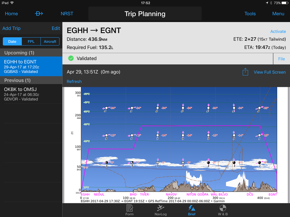
Seems sensible through Garmin Pilot, for now.
The Gramet simply doesn’t forecast most cloud, most of the time.
It does forecast convective cloud but such cloud, or the likelihood of it, is blindingly obvious from the MSLP chart.
That’s why I use tafs/metars and the MSLP charts, and on the morning of the flight the IR image and sferics.
Peter wrote:
The Gramet simply doesn’t forecast most cloud, most of the time.
That is is simply not true.
As I said earlier, convective cloud tends to show up i.e. stratus cloud usually doesn’t, usefully. That’s been my experience.
The standard thing which most GA pilots are perpetually looking for – forecast of cloud with a base of 2000ft and tops of 4000ft (where CAS base is 6000ft  ) or some such – just doesn’t exist. The GFS-derived Gramet looks like it should show it but most of the time it just doesn’t, or shows something different.
It is quite possible that some national European models are good enough but none of the main ones make the data freely accessible – because they sell it to commercial wx packagers. If there was such a model, freely accessible, few would use GFS.
Peter wrote:
As I said earlier, convective cloud tends to show up i.e. stratus cloud usually doesn’t, usefully.
I disagree. While frontal weather is easier to forecast (main question is when it will be where), it can also derive general atmospheric conditions with a certain level of accuracy.
The standard thing which most GA pilots are perpetually looking for – forecast of cloud with a base of 2000ft and tops of 4000ft (where CAS base is 6000ft ) or some such – just doesn’t exist. The GFS-derived Gramet looks like it should show it but most of the time it just doesn’t, or shows something different.
That might be the case for VFR flights but GRAMET has a different goal: give the IFR pilot an impression of expected en route conditions. Wind is highly accurate, temperature gradient is highly accurate, fronts are highly accurate and the spread throughout the atmosphere is reasonably accurate.
It is quite possible that some national European models are good enough but none of the main ones make the data freely accessible – because they sell it to commercial wx packagers. If there was such a model, freely accessible, few would use GFS.
A researcher in Sweden just published a paper examining our GFS based GRAMET versus a prototype using the Swedish national model in regards to how accurately it can predict low level clouds and the result was quite surprising: no significant improvement over GFS.
Note that Germany now makes its high resolution numeric weather forecast model available following the passing of a German federal law bill that requires the national met office to provide certain products to the public domain. It’s just missing a few parameters we need for GRAMET but we’re still looking into it. GFS is constantly improving as well and we have just recently switched to 4x higher resolution data.
If you take GRAMET for what it is and was designed for, it is much better than what you say.
If you take GRAMET for what it is and was designed for, it is much better than what you say.
This is pretty consistent with my experience.
achimha wrote:
A researcher in Sweden just published a paper examining our GFS based GRAMET versus a prototype using the Swedish national model in regards to how accurately it can predict low level clouds
@achimha, do you have a reference?