OpenFlightmaps has also received significant improvements since last posted in this thread.
Would it be possible to have a consolidated table of these links on the forum, at a fixed location, along with a link to the respective reference country AIS web site where they are usually kept? As a minimum, the country ICAO charts would be great. Perhaps as a fixed entry at the top of the active threads page or the Airport database section?
When someone has an update to one of them, it could be reported as is being done here and the corresponding link(s) adjusted. Going through the thread looking for a given country to see if there is an online chart is a bit tedious and not very time-efficient. There are quite a lot of countries that publish these charts, sometimes as a single chart like Switzerland and sometimes as several charts like Croatia. Usually they are in pdf format which are easily transferred.
Not really Europe, but for those interested in flying to Morocco or through it to the Canary Islands the Moroccan SIA maintains these on its web site here.
Perhaps everyone knows about the visualping service that monitors changes to URL locations and reports them via email. A generous but limited number of links can be monitored for free. There is a charge for monitoring a large number tied to check frequency.
Great idea… not sure how to implement it. I can do something under Tech Resources but only admin (me) can edit it. Maybe something is possible under one of the Google shared pages or whatever it is called, but the issue, as usual, is spamming. Currently 50% of signups are spammers and I have just this minute removed another spammer signup. They are getting clever, even uploading pics of planes in their avatar. Then they wait a week, and post some advert for some fake English language certificate or whatever.
Has been posted above but it is a link which keeps changing.
http://vfr-charts.ga/ is a project listing VFR aerodrome charts for the 19 smaller airports in Slovenia
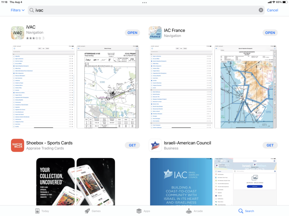
Handy iPhone/iPad app for fields in France. iVAC is VFR only, and also lists ULM fields (impressive number of them!) and heliports.
Thanks aart
I’ve been caught by Skydemon on impromptu touch-and-goes, finding the VAC hasn’t been downloaded
Knowing how to read the designations of French ULM fields can perhaps be very helpful as there are so many of them.
Take eg LF8555
LF =.France of course
85= the Vendee region. ie the region of France where the field is located
55 = the number of the field.In this case,from memory it is Courçon
BTW the eVAC app that used to have all French VAC charts is no more. Now I think it has change to something like SOFIA but I would need to check that as its from memory and I haven’t had reason to download it yet. They are all on SDVFR.