Arne wrote:
SkyDemon gets all its data from GPS, it only knows GS and GPS-altitude.
While I understand that it would be impossible to get the precise number for IAS, if you know your G/S + ALT (GPS) and the other things (W/V+Temp+…) you downloaded before, then what stops any app from calculating some estimate IAS numbers?
Yes, not the entire correct numbers, but your primary instruments are gone, then surely this one should ok-ish?
I doubt it.
Yesterday, flying the EGKA RNP20, I had a ~10kt headwind at 2200ft, flying north, then on the final approach track, ~200, a 20kt tailwind at say 1500ft, then zero wind on final.
And it is when landing that you need to know the wind; the rest of the time it doesn’t matter so long as your fuel totaliser (which you have  ) tells you that you will reach the destination safely.
Peter wrote:
it is when landing that you need to know the wind
yep, good thing most airfields are equipped with a thing called windsock. Hint, it is not installed in the aircraft’s instrument panel 
Sounds like that “SD showing IAS” report could be seriously embarrassing… especially for a PA46 owner.
arj1 wrote:
if you know your G/S + ALT (GPS) and the other things (W/V+Temp+…) you downloaded before, then what stops any app from calculating some estimate IAS numbers?
The main source of error is the exact wind at the current altitude. You can’t measure wind explicitely, you measure/calculate everything else and the real wind is what’s missing inbetween.
If you’re happy with an IAS value within +/- the wind forecast error, you could back-calculate a number. But the guy in the article was fearing to stall his plane, that error is easily larger than the difference between flying and falling.
Arne wrote:
The main source of error is the exact wind at the current altitude. You can’t measure wind explicitely, you measure/calculate everything else and the real wind is what’s missing inbetween.
Possible to get an accurate wind direction & speed if you start turning non-stop, there is a mathematical model for gliders and the algorithm is implemented in most GPS/PDA clculators, it does not have to be perfect rate1 circles, any closed loop repetitive shape will do 
Not for IFR apps or touring machines though, maybe if you replace with an RNAV triangle !
If you are referring to the HAWK model, it solves for a different problem:
Even when knowing groundspeed and airspeed, the wind is not trivial to estimate. Challenge is that the direction of the airspeed is measured by a magnetometer which is locally always quite inaccurate. In powered airplanes this is typically not a huge problem, because you tend to fly straight ahead for a significant amount of time and therefore you have time to average the data you get. The wind vector as shown in modern PFDs therefore is typically moire the average over a couple of 10 seconds than the actual current wind.
In gliders you would love to have a wind indication that is more current (e.g. only averaging over few seconds). In these cases you need a bit more maths to find a solution to compensate for inaccurate heading references. But still: You need both (GPS-)GS as well as TAS as an input.
Yes the sophisticated stuff gets you this, “3D wind arrow” if you care about airflow from under !
https://gliding.lxnav.com/news/hawk-wind-calculation/
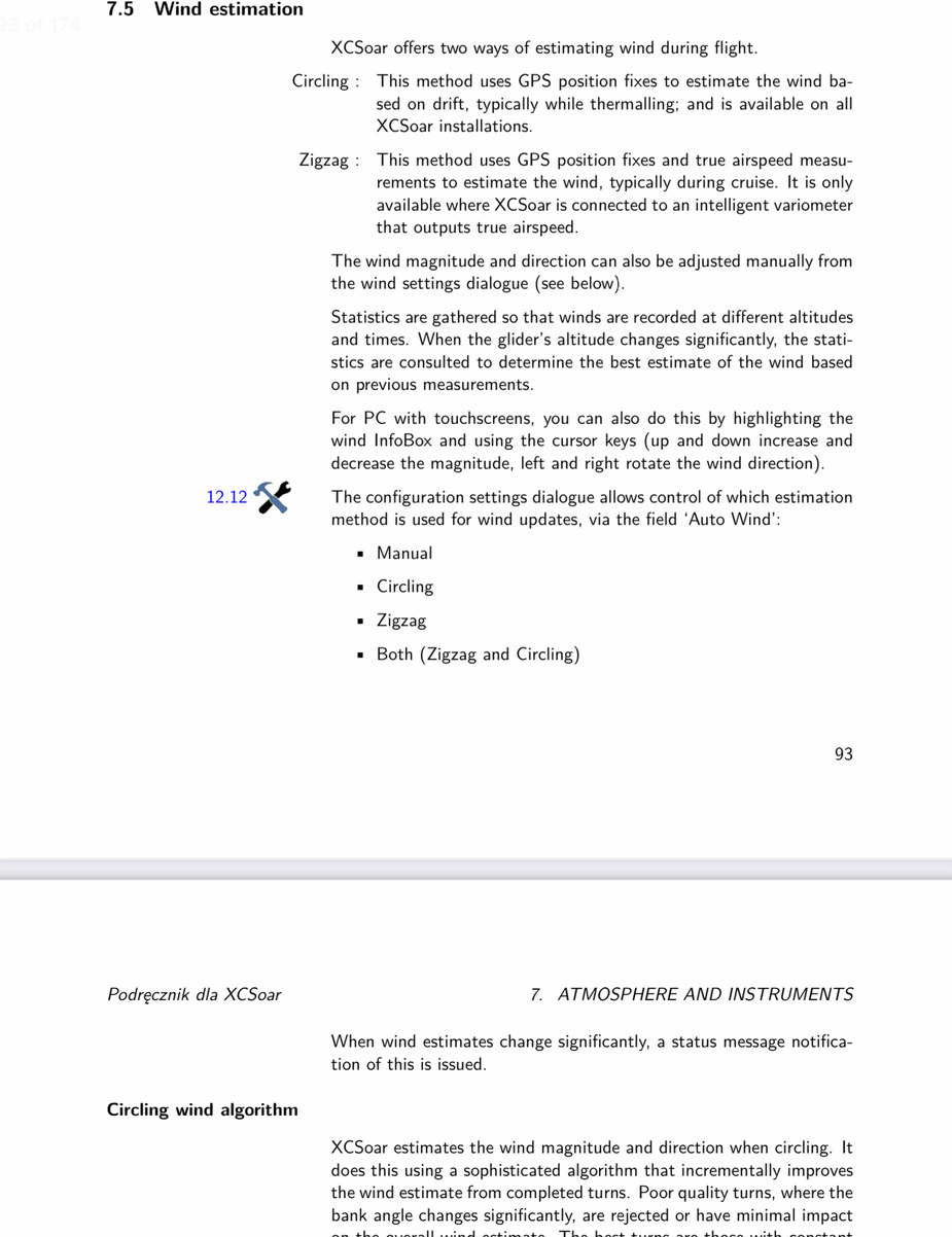
With GPS only and no air data, you can get wind estimates
https://download.xcsoar.org/releases/7.7/XCSoar-manual-pl.pdf
