Bartek_Aviatek wrote:
That’s very interesting, thank you!
If you consider any serious Europe touring with aircraft which isn’t equipped with radar, ADL in-flight weather box is a must have tool.
There are loads of websites where you can get wx data in more or less real time.
I actually have a private site set up to deliver the relevant images, without the peripheral junk, and the EuroGA Airports Database has a telegram bot which does the same.
But very few pilots – even IR holders – use these resources.
I’m far from doing any serious touring as I just got my PPL last year and so far doing only short local flights.
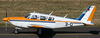
What I use for now which works great is SkyDemon on my iPad which shows the weather coloring using your predefine minimas as well as Windy.com. I rent a PA28 and at the speeds and altitudes it cruises you pretty much always have 5G on your phone/ipad.
Bartek_Aviatek wrote:
I rent a PA28 and at the speeds and altitudes it cruises you pretty much always have 5G on your phone/ipad.
Altitude is what changes everything. We fly typically at FL120 and I rarely see phone coverage.
I too have an ADL device but have to admit that I never used it so far. As I’m still bound to flying VFR I never went so far that it was necessary to have in-flight weather. Whenever things worsen I look for an airfield, have a break (and a Kitkat or two) and sort out my options.
But I’m glad to know that I have it and it’s working in case I’d want to try something more challenging…
Regarding the flight we’re discussing here it’s zero information available. Was it really CFIT? Pressure from passengers that wanted to arrive? It is hard to imagine that this still happens in the year 2023.
I’ve actually flown very early in my life with people pushing hard on my own limits. We were doing training in gliders for the more serious levels of competition. Learned my lessons.
Apparently they were going to Schärding in Upper Austria (home base), article in German here:
https://salzburg.orf.at/stories/3230869/
Looks like VFR > IMC followed by LOC.
RIP.
PS: one of the pics appears to show ice on the tailplane. Could of course have formed after the crash.
Eye witness report from the link of @172driver:
“A young man from Lungau stated that the Cirrus first [oscillated] relatively low between the local airfield in Mauterndorf and Tamsweg, then flew almost vertically into the sky, came to a standstill there and then crashed to the ground almost in a fall line. One had the impression that the pilot was still trying to find his way between dense clouds. He may also have tried to deploy the rescue parachute, which is fitted as standard in such aircraft, high up in the air to save the entire aircraft from crashing”
Whatever it’s worth…
172driver wrote:
PS: one of the pics appears to show ice on the tailplane. Could of course have formed after the crash.
That is not ice but foam applied by the firefighters. You can even see them spraying it on one of the pictures.
Apparently they were going to Schärding in Upper Austria (home base)
It doesn’t look like that based on their track because LOLS is more to the east so their track would be from LDZA over LOWG and LOWL.
PETOV, GOLVA
On the second look it looks more like LDZA → PODET → RADLY and then in direction of LOWS.
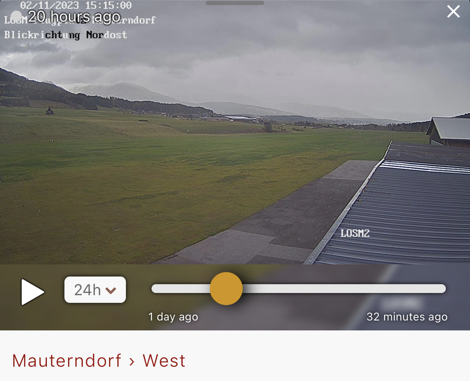
Tragic loss of life. LOSM isn’t an easy airfield in nice weather, even less so for a diversion in bad weather.
Terrain around LOSM

Webcam LOSM
Weather Radar overlay during their flight