
Trying by ourselves now.
Aeroplus is our backup
Jan_Olieslagers wrote:
ISTR – like as not from this same forum – that some African countries only allow IFR flying.
Maybe for foreign aircraft if a permit is needed. I can’t imagine they only allow IFR – that would rule out essentially all aerial work. But ATC might not be familiar with VFR procedures.
Update 1: approval for Mauretania overflight & landing has been obtained.
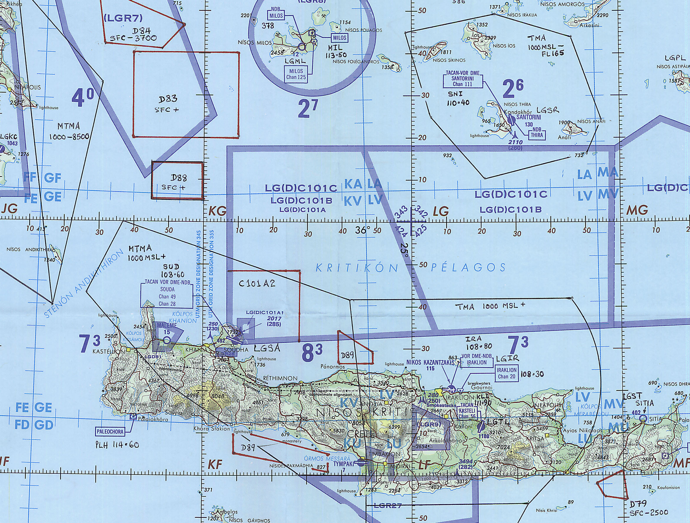
Update 2: I have printed out the TPC charts on A3 pages, glued them together and folded them. I am annotating them with the latest info from the AIP. Somehow I truely like-like-like this chart annotating. Are there other people out there who derive a pleasure from charts and updating them, or am I weird?

You are weird and so am I 
The challenge you still have is to actually navigate this piece of paper. What I did back in 2004 (the above example) was to then get it scanned to a TIFF and calibrate it for Oziexplorer, to get a GPS moving map. The scanning shop assumed I was scanning a copyright map and ripped me off massively; 3 figures. Later I found some others which were much cheaper. Today, I would photograph the map with a DSLR.
Other workflows include starting with an Oziexplorer map for Africa (plenty of them about, some annotated in Russian!) and mark up the electronic version.
It’s probably too much effort to convert the paper or jpg map to a navigable one on my ipad for this one trip. I wouldn’t know how, to start with.
But it is comforting to know I am not alone in my weirdness ;-)
I certainly enjoy looking though maps and “exploring” them for unusual features. Enjoying marking them up by hand is a bit beyond me though 
@dublinpilot – I realise that marking them up is an advanced level, but why not try it once when you are alone and nobody watches. I guarantee you that pleasure will be derived from that activity !
I guess there are two points of view on whether getting lost in Africa matters, or doesn’t matter. In Europe we worry most about busting CAS. Down there you probably aren’t on radar much, or not at all if you fly low enough, so the issues are different.
What sort of distances, as a % of your range, will you be flying?
This is our plan:
Dakar GOOY Nouakchott GQNO 224nm
Nouakchott GQNO Dakhla GMMH 360nm
Dakhla GMMH Tan Tan GMAT 412nm
Tan Tan GMAT Marrakesh GMMX 258nm
Marrakesh GMMX Tanger GMTT 301nm
Tanger GMTT Castellon LECH 421nm
Castellon LECH Moulins LFHY 458nm
Moulins LFHY Lille LFQQ 258nm
Worst case range (best power, 75%, with reserves, at sea level, range, 272L) is 650 NM for my Piper Turbo Arrow III. The critical leg is Dakar – Nouakchott – Dakhla. Worst case there is no Avgas at Nouakchott (despite the promise). Then we continue without refuelling to Dakhla, making it a 584NM leg (without wind).
As for getting lost: we will have GPS via ipad, and via our GNS430W which does have all the waypoints. My Jeppview and SkyDemon charts do not cover Senegal and Mauretania, so that’s why I need the paper maps.
Finally, when VFR, we plan to fly along the coast, so navigating is easy. Worst case, I switch to IFR and we use the GNS430W.
I can’t imagine they only allow IFR – that would rule out essentially all aerial work.
On a recent visit to the factory, I saw a newly built Apollo Fox ultralight being prepared for shipping to Egypt, and talked to its owner/pilot. The dashboard was prepared for fitting full IFR instrumentation – the buyer/owner/pilot told me this was a requirement for any flight outside the home ATZ.


