Snoopy wrote:
Great improvement. Is it also incorporated into Garmin Connext Satradar?
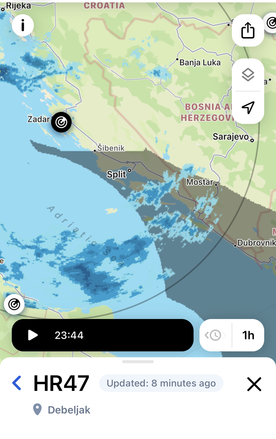
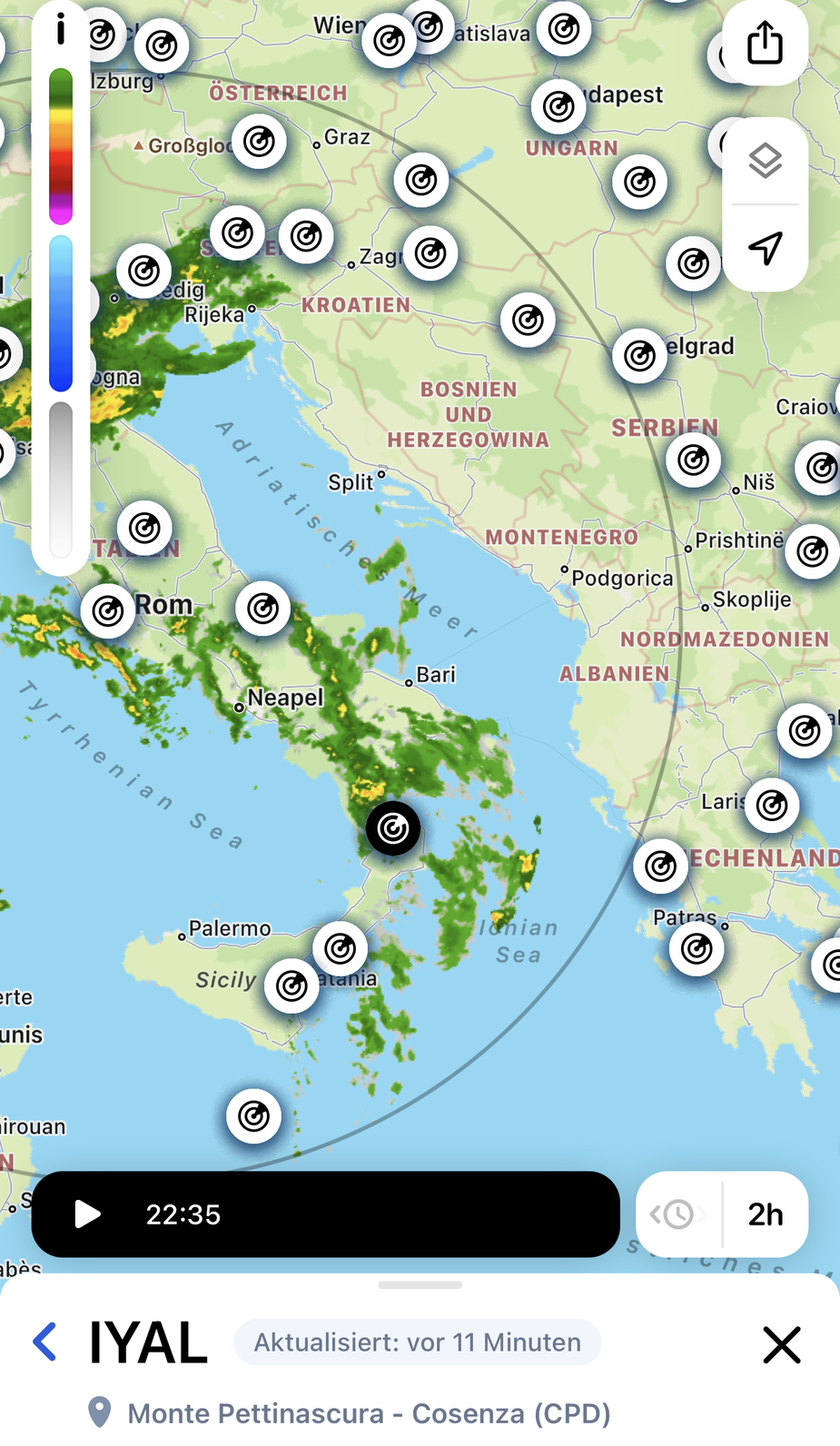
Here’s a picture of Garmin coverage as of 2022-04-30

Practically whole Romania and Serbia as well as half of Bulgaria are covered.
However, it seems that RV included it (although showing gray area) because all sources give same images.
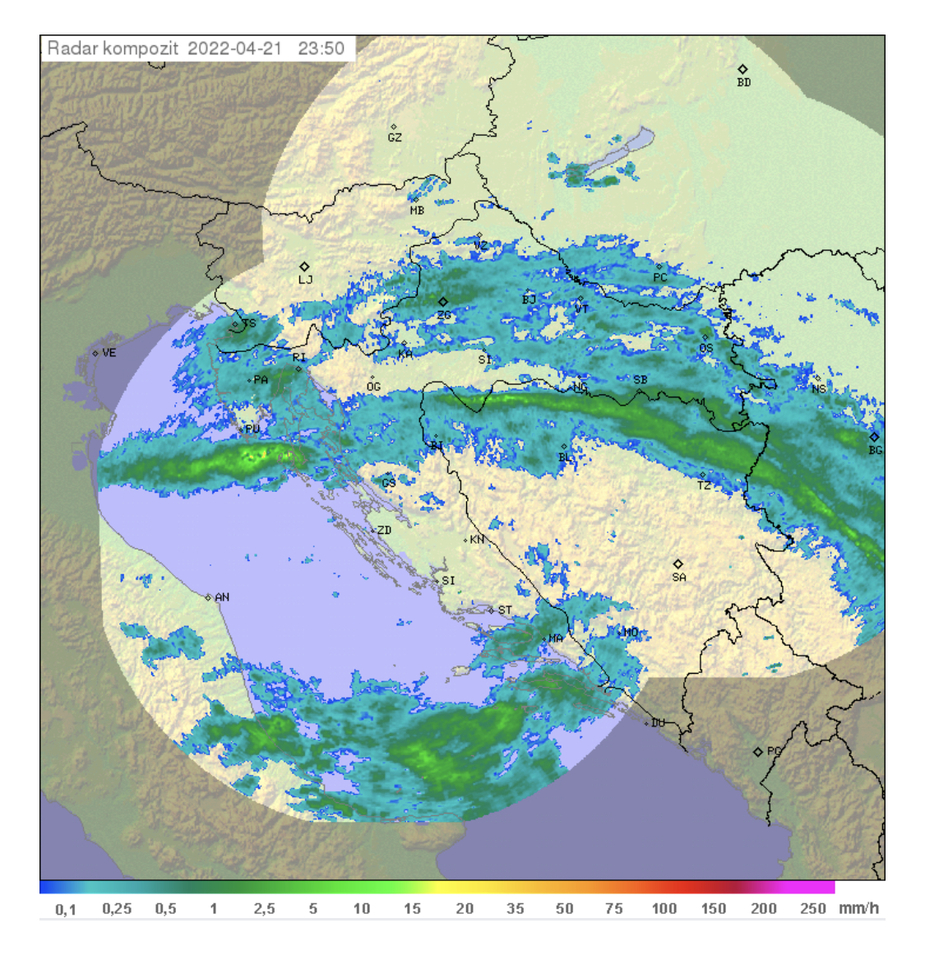
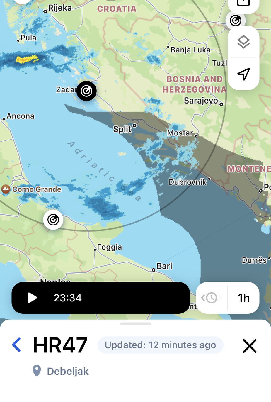
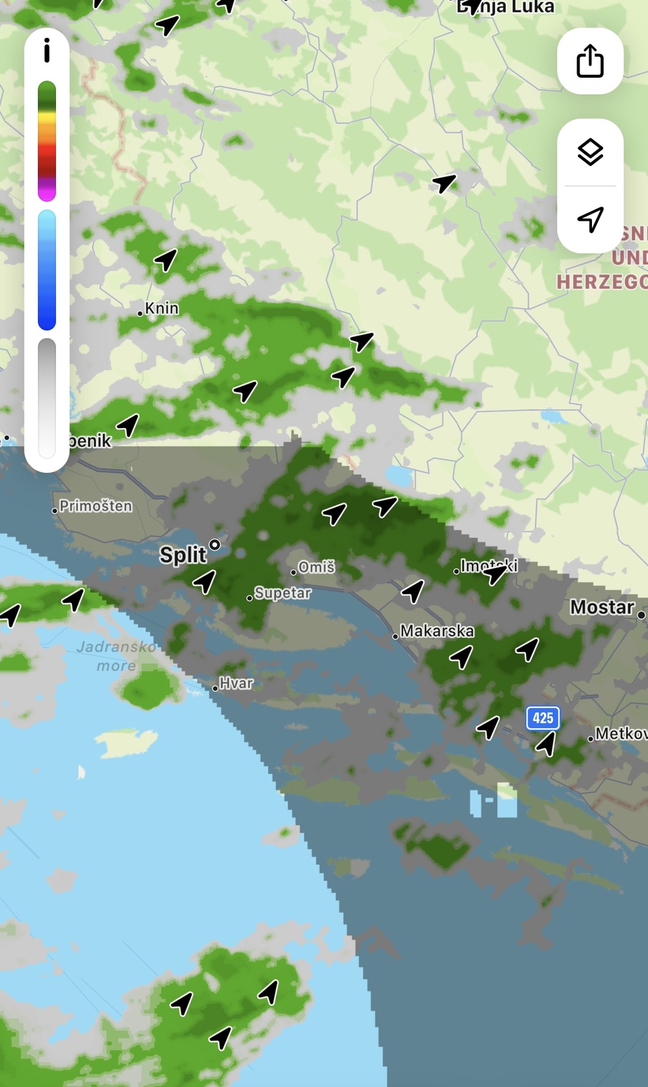
This is actual coverage of the radars you specified:
This is the coverage of new radar and it’s obvious that its images are not included in RainViewer.
I think it’s done by combining radars
Snoopy wrote:
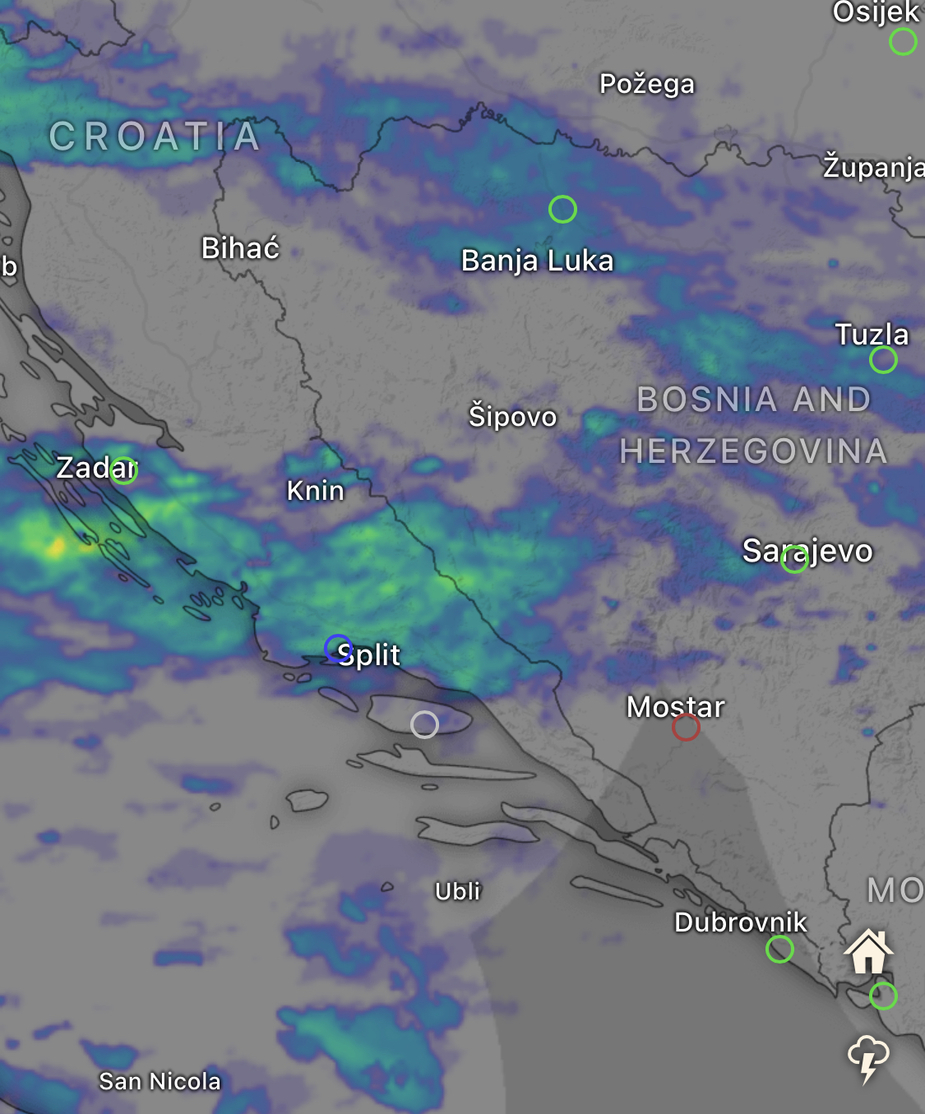
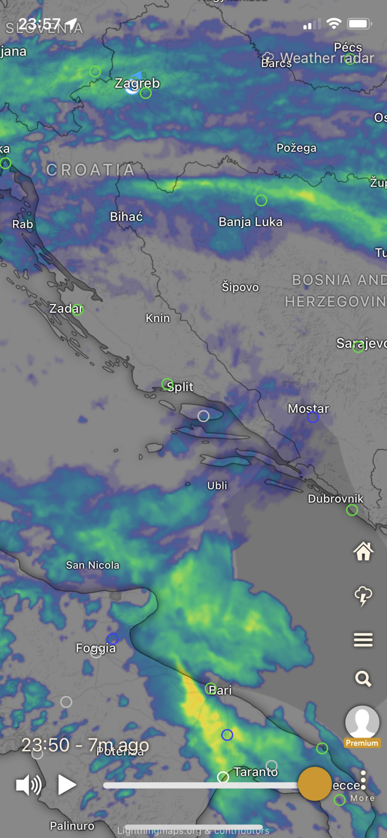
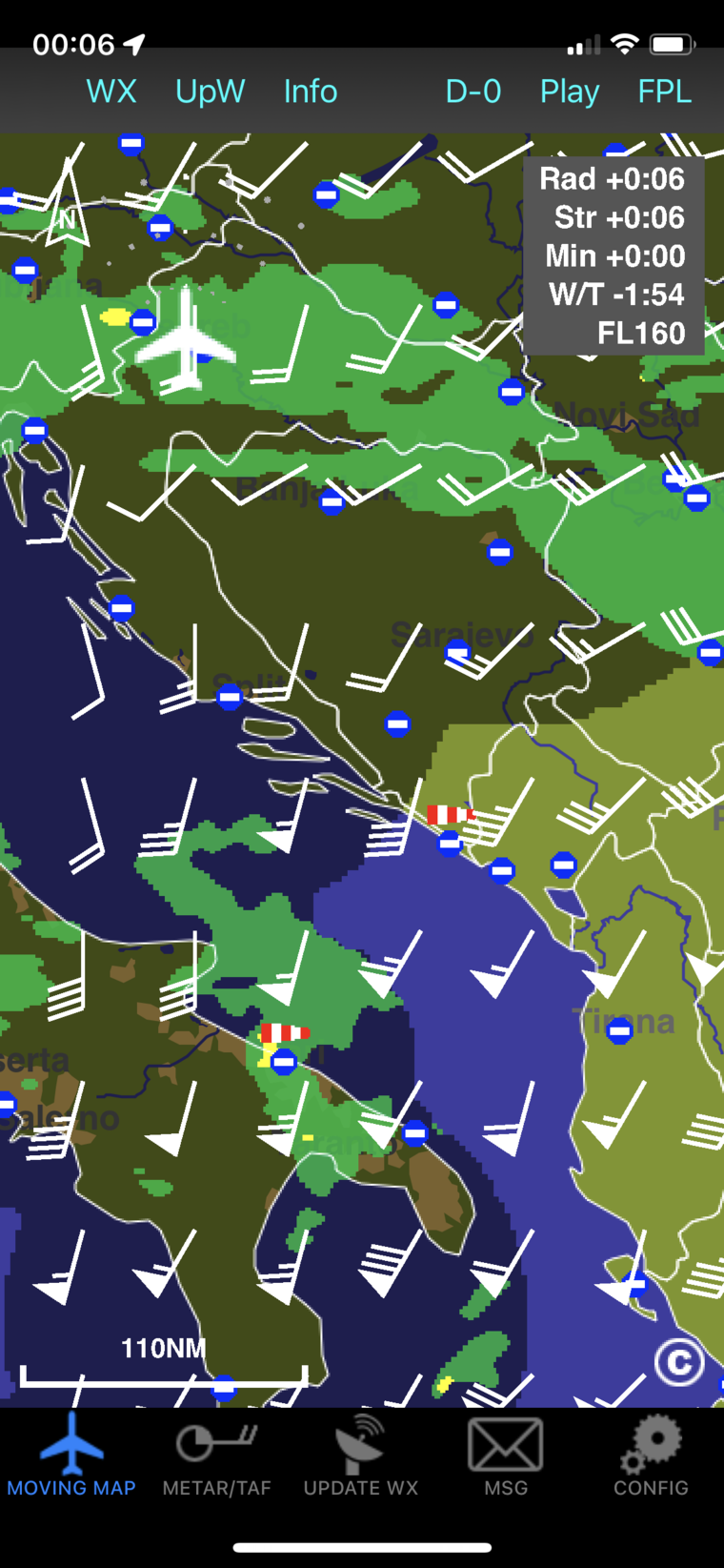
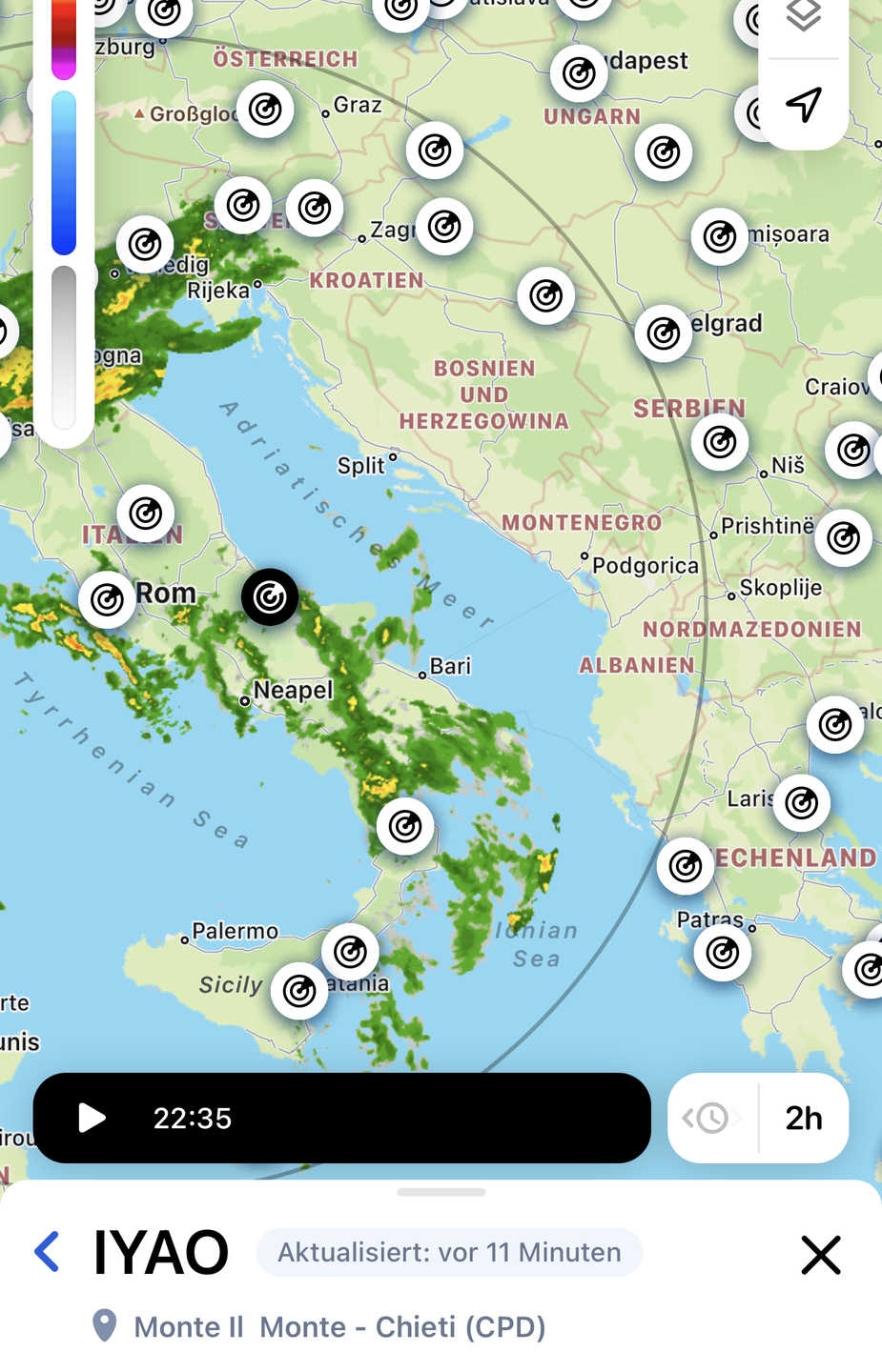
t was / is very useful as even areas without designated radar coverage had weather shown through overlay of other radars:
Then it most likely is not real radar data but more a general short term weather prediction model. In some cases like fronts it probably works ok. In others with CB popping up in the summer it most likely does not perform very well. The big advantage of such weather models is that you can get quite easily more or less global coverage from a single source and most of the general population using weather apps will not care about the difference.
Snoopy wrote:
It was / is very useful as even areas without designated radar coverage had weather shown through overlay of other radars:
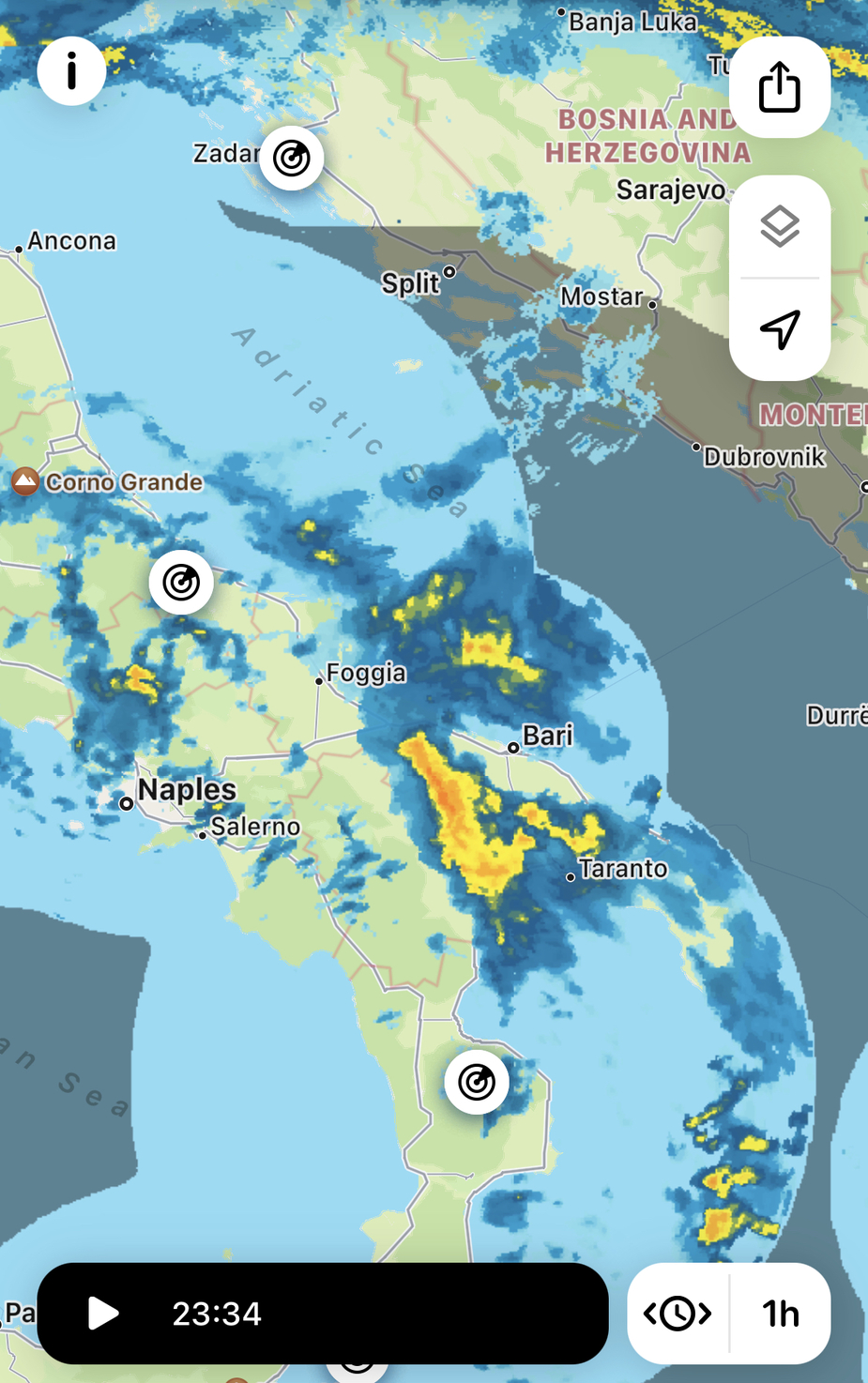
I don’t know how they get radar picture for area without weather radar coverage but I remember few times that in particular area the picture looked more like a guess rather than the real radar image. However, I believe they won’t have any problem including new radar into the application.
It was / is very useful as even areas without designated radar coverage had weather shown through overlay of other radars:
RainViewer
They still haven’t included it.
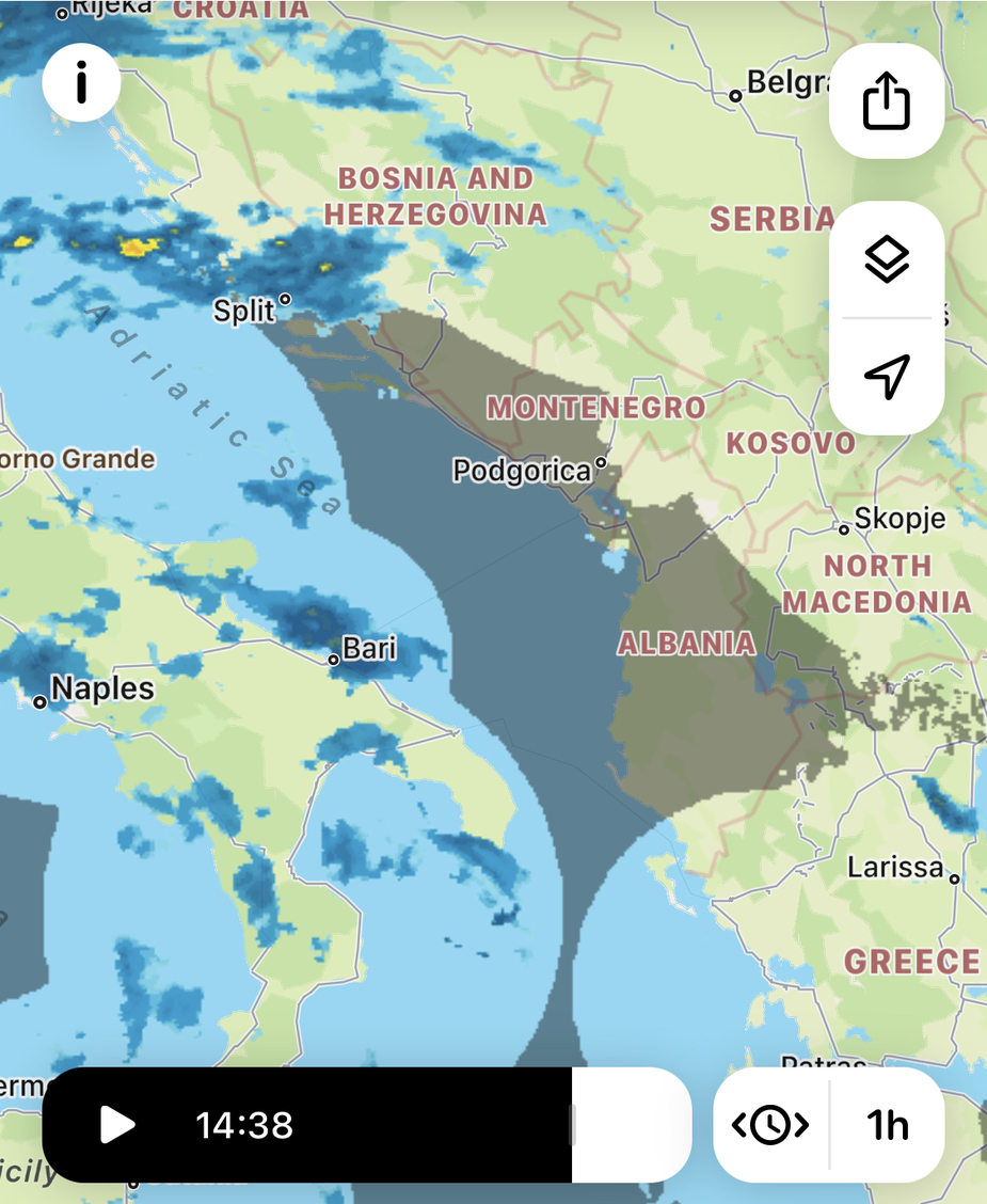
While windy.com did it.