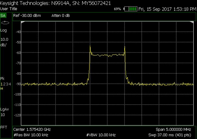
Ingas the same problem: GNS430W and 530W lost complete GPS signals.
I talked to Avionik Straubing and they told me exactly what has been written before: one antenna goes and and can influence all GPS receivers in a range of up to 20 meters (means handhelds, iPads and of course other I stalled GPS systems).
After replacement of the antenna, it has never happened again so far.
Russian jamming of GPS
SAS and Widerøe had to fly without GPS for a week in NE Norway while Russian military just across the boarder were preparing an exercise, and obviously “testing” some jamming equipment.
Being too dependent on GPS is obviously not a good idea. See here (in Norwegian)
According to the article, this was a “low tech” jamming signal. The Russians have much more advanced equipment also, capable of distorting signals so the GPS reports wrong position, 40-50 km error for instance, which would be very confusing.

LeSving, as I already mentioned in another thread, the likelihood of dangerous confusion is low because the intentionally spoofed GPS signals typically cause the receiver to display a fixed location and a groundspeed of zero. On the other hand, going without GPS altogether is fairly bad indeed, and this makes a good case for preserving the existing LORAN infrastructure, reinstating the decommissioned facilities, and upgrading the network to eLORAN. As far as I know, LORAN is quite difficult to jam. It will also help in the event of GPS disruptions caused by extremely high solar activity.
However, nobody makes any aviation Loran receivers…
At least they used to make them. KLN88 is one.
plenty of LORAN receivers on ebay
What do those boxes actually do? Do they contain a database so you can set a DCT or load a route, and get lateral deviation signals?
A box which e.g. just computes lat/long is of little use for flying.
Peter, KLN 88 supports airports/intersections/VOR/NDB by name, routes, DCT, stored flightplans, and NMEA output to external devices. No moving map, though, and obviously no approach procedures.
Experts say that (e)LORAN is even easier to jam/spoof than GPS.
LORAN is deader than dead. The EASA/Eurocontrol strategy is to have multiple GPS systems (Galileo, GLONASS) and DME/DME as the ground based backup with INS filling the gap for where higher levels of safety are required.
Hmmm… I heard and read the opposite – that it’s not impossible but difficult to jam – but can’t argue with you as I have no definitive proof. If really so, I guess we’ll then have to wait for INS to become affordable.