@Thunderstorm18, I checked Orbifly at the time of my previous post, and it only listed METARS for a small part of Europe, the rest was reported as N/A.
I am sure Orbifly get the data from the same place as nearly all free websites i.e. ADDS in the USA. However, ADDS is up again right now. They fixed the metar side last night and fixed the taf part later.
It’s funny that Europeans have to get data for their own airports from the USA! Well, they don’t have to, but if you build a wx site you want to use a data source which is likely to stay, and in Europe they keep appearing and disappearing. The audience is heavily fragmented and each site has only a small number of users, compared to the USA. So if e.g. some Univ of Granada site disappears, a few might notice, whereas if ADDS is down, about 100k pilots will complain.
If you build a site like that you should use multiple data sources, not only for redundancy but also to find errors.
Dimme, would you implement multiple sources and presenting only metars/tafs which appear identically on 2 or more, or simply provide multiple sources visibly?
It must be very rare to get mistakes in the data, although out of date reports are not rare especially if you look at airports long after their closing time.
I am not sure about this but I suspect all free sites get this data from
There have been curious cases in years past where some tafs or metars were not available from the USA. One case was LGST and the taf or the metar appeared only on an OGIMET (Univ of Granada, Spain) wx site.
Most sites breach somebody’s copyright, except probably for the NOAA data.
One could do some kind of comparison and in case of conflict present both sources, otherwise only one. In case of a source being out of date then the most up to date source could be presented.
Somebody with time on their hands could do a lot of things =)
Somebody with time could write an app which aggressively attemps to connect to the internet and accesses a private wx server. You would need a rooted android phone which keeps testing for GSM signal presence and when it sees some it immediately dials ATDT*99#  That’s for an internet connection; the alternative would be to call a private server (GSM modem) and grab some tafs/metars directly.
The other thing to do on a private wx site would be georeferencing the IR and radar images. The client device has the position so it could be done locally in javascript, I believe. The background image needs updating only rarely, which is just as well because most of the time it won’t be available.
Ultranomad wrote:
I checked Orbifly at the time of my previous post, and it only listed METARS for a small part of Europe, the rest was reported as N/A.
Ultranomad, if you go to left side of the page you can choose the map area, choose the time of the TAF.
Noticed that you will find less info if you search in the middle of the night compared with the regular hours.
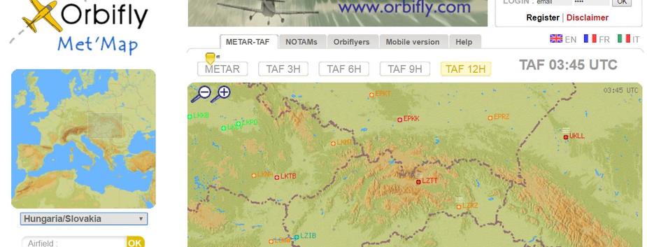
Please see the attached screenshot, where I have chosen a 12h TAF.
This looks like an advertisement
I wonder what the funding model is…