Peter wrote:
One part-solution, done by the routing tool, would be a checkbox option to route only inside CAS.
Let me get this clear.
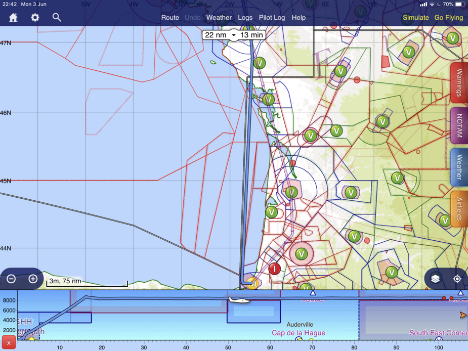
On IFR flights, you get enroute notams, and go through the booklet which comes with the SIA 1:1M charts which lists the various D R and P zones and their activity times, plot any coordinate lists specifying polygons on the map, and use this (or some other) method to shape the route to avoid the restrictions?
Peter wrote:
On IFR flights, you get enroute notams, and go through the booklet which comes with the SIA 1:1M charts which lists the various D R and P zones and their activity times,
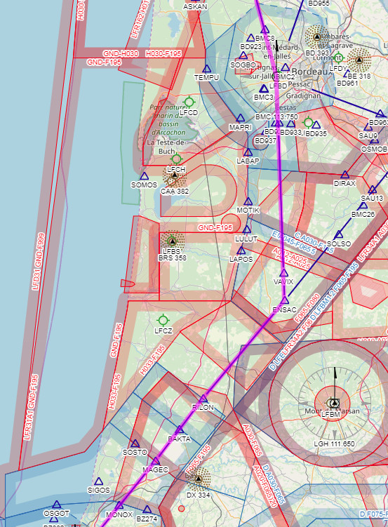
But if I file a DCT in my FPL (like you did), I look carefully where it gets me including P, D, R areas activation times.
I get longer routes on autorouter but when I’m the air, I let ATC do the work : they will give you a shortcut when a restricted area is not active.
Avoiding DCTs generates this, which was more or less what I got from ATC:
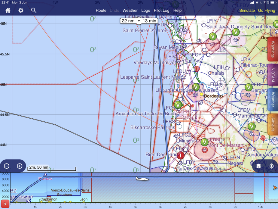
I’ve never encountered any problem flying that coast much lower tan FL200 . This was on monday a few months ago.
A few moths ago, I went up all the coast from Biarritz to Oleron between 1000-2000’ AGL
Flew straight through last Thursday, FL80
Morning and early afternoon
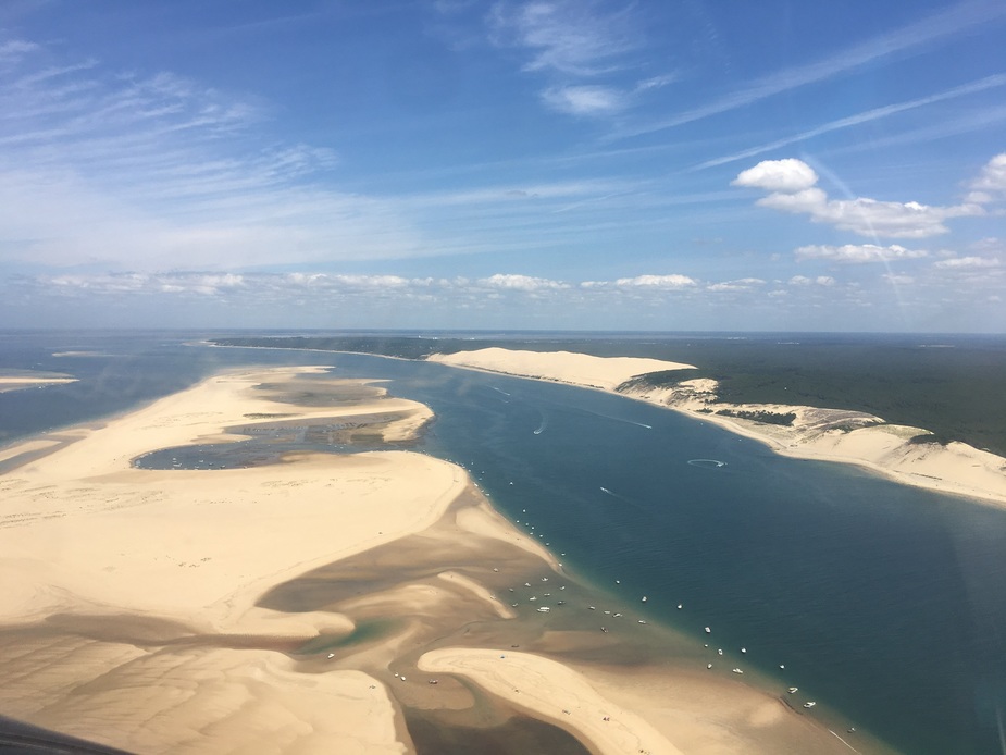
Great pic, coolhand. View of the dune was not as nice from up there