
The charts come from “interesting” sources…
As a last resource, I have taken photographs of a VFR wall chart (that you will find at most airfields here) with my iPad that I can view with the photo viewer. Didn’t even bother to stitch them together. Just as a backup when we cancel IFR or pickup IFR from further away than viewing distance of a VFR airfield. And again, JeppView IFR has all the relevant airspaces for low-level VFR flying as well.
after BendixKing failed at their WingMan app there is now Garmin trying it internationally with their Garmin Pilot
http://www.avweb.com/avwebflash/news/Garmin-Pilot-Goes-International221850-1.html
it should offer IFR as well as VFR charts – wonder whether they can create an autorouter for Eurocontrol routings.
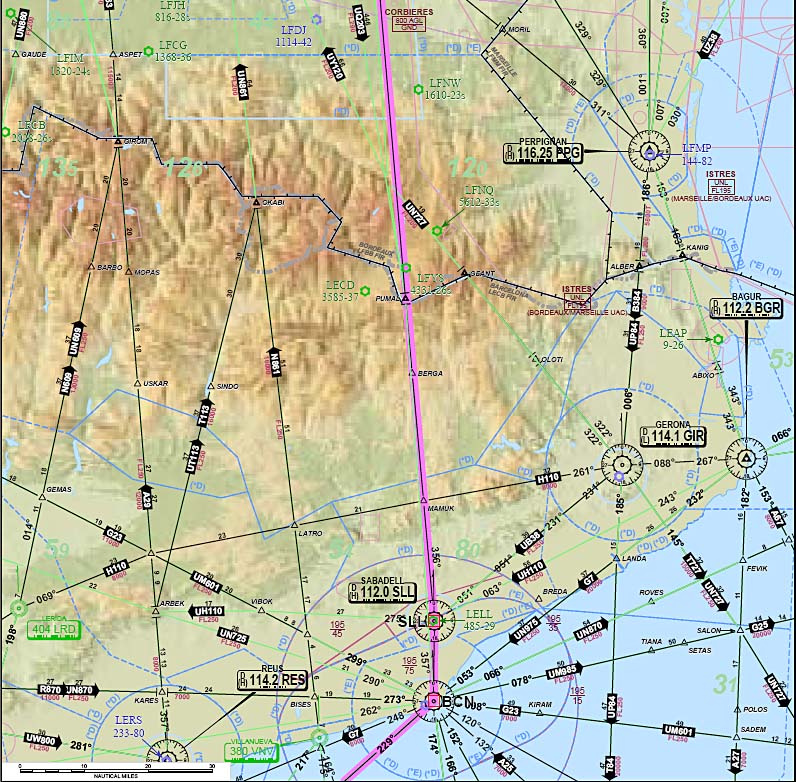
People have certainly scanned VFR maps. I did that in 2004 for my early VFR trips to Greece. I then calibrated them for Oziexplorer.
But I think very few people will be interested in that, and will pay for the vector based commercial products. Then at least you get regular updates – for ~ €100/year or so.
I don’t think many people will want to pay even €500/year for the full JeppFD… also if you have split the €2k four ways, you don’t get a backup for your Ipad. That one device will be all you have, unless you have taken screenshots along the route and printed them off.
IFR in Europe can be quite an impressive subscription collection machine 
True. And it’s even worse if flying 50/50 VFR and IFR…
That’s why I said one needs to continuously review one’s subscriptions in order to maintain a cost/utility ratio…
I think it is getting better. In the US, ForeFlight is all you need for VFR and IFR and in Europe, SkyDemon is getting there — at least that is what I’m betting on. Jeppesen giving up on their VFR paper charts has some positive effects after all, it will drive adoption of apps as a primary source of maps and the way Jeppesen has done it, it doesn’t look like they will come anywhere near their market share in the paper world.
Quote I’m actually wondering why Route Rocket is being praised that much. Or are people mostly using their web app before the flight and then fly with printouts?
I think Rocket Route has about the only good autorouting engine — sorry Achim, you’re getting there, but you need to get rid of those strings of kludgy DCTs :) It also does pretty good briefing packs with plates, which I can keep a copy of on my Mac as well as my iPad — something I can’t do in Sky Demon, though EuroFPL does good briefing packs too. But RR is, IMO, slow and buggy.
I did my trip IFR to AERO, EDNY last week with no paper at all, for the first time. I spent 4 days based at a stand next door to a chart supplier, and considered splashing out EUR 10 on a 4-month old (latest) Jepp IFR enroute chart. Remembering that the last two such purchases were never unfolded, I spent the money on Maultaschen instead. ;)
My ideal solution would be SkyDemon backed by a good autorouting engine and IFR flight plan interface, that lets you create a PDF briefing pack (with plates) as a contingency.
Well, I haven’t bought an IFR enroute chart since 2006… they became obsolete in several ways
The difficult areas for Europe are VFR enroute charts, and IFR terminal charts. They cost serious money, if you want quality, and more so if you want a full coverage into say the south east (Greece, etc).
I don’t see anybody bundling in IFR terminal charts, because Jepp own that business totally. The database creation and maintenance is just too much. The most you will ever get is the free AIP charts bundled in with some VFR moving map program. I do see a number of moving map programs doing IFR strip charts because the airway database is free.
I think Rocket Route has about the only good autorouting engine — sorry Achim, you’re getting there, but you need to get rid of those strings of kludgy DCTs :) It also does pretty good briefing packs with plates
I used the new autorouter.eu tool for the first time for flying to and from AERO. On both flights the overhead was less than 5%, and on the return was 2%. So thanks to Achim and Tomjnx – already saved some fuel
I have no problem with the DCTs – most of the time ATC is going to give directs anyway (although not the ones filed ). What does puzzle me is why there are so many level changes generated in the routes. I manually removed some of them before filing and it validated just as well.
I currently file using RR, which is mostly fine but seems to be getting slower by the month. I wanted to advance my FPL by 45 minutes when I’d arrived at the airport on Saturday (getting through security at Memmingen was easier than expected). I didn’t risk trying to do that on the RR website via the iPhone but rang them up instead. All done in two minutes. Nevertheless, I think I’ll now experiment with the combination of autorouter and EuroFPL, which seem to offer just about everything that RR offer. I wonder – is there an export facility on autorouter and an equivalent import facility in EuroFPL? Copying and pasting is easy enough with the pc at home but a PITA on a phone in a hotel bedroom.
I think European IFR is easier today than at any other time in the past, except during an era way before my time and before Eurocontrol got going and screwed the whole system up.
What I’ve never seen discussed on Euroga.org is the why.
Compared to IFR planning in the US, Australia, Asia etc, the whole Eurocontrol IFR routing platform just seems oddly convoluted. Highly complex routings, slot times for light aircraft, brute force algorithms to produce optimal routes etc etc.
Why is the underlying Eurocontrol IFR routing framework designed like this? And who benefits from the design.
Was it primarily designed to accomodate the airlines & manage the congested airspace of central Europe?
Or is the structure primarily a political & regulatory consequence of managing 40 different national airspaces?
I wonder – is there an export facility on autorouter and an equivalent import facility in EuroFPL? Copying and pasting is easy enough with the pc at home but a PITA on a phone in a hotel bedroom.
That is always painful, which is I always travel with a proper laptop. One “could” do anything with a phone, but it’s very hard work.
The next best thing is a tablet with a mouse, but I don’t think you can do that with an Ipad.
What I’ve never seen discussed on Euroga.org is the why.
Eurocontrol collects route charges on behalf of the various countries. They are probably very efficient for that; they quote stuff like 0.3% loss of revenue, IIRC.
The problem is that if you create a gravy train, every good for nothing person who can’t do a real job is going to jump on. If you create a routing framework, you will get the various airspace owners in every country (who within that country are mostly fighting each other anyway – civilian and military, with the military desperately hanging onto blocks of airspace they don’t need but if they admit it they will lose them) throwing in the data to populate the framework. Then you finish the job nicely by employing a load of highly paid tech anoraks at Eurocontrol to implement the most complex solution possible. All this is completely normal human behaviour. Nobody ever stands back and says “hey, guys, aren’t we over-doing this a little?”.


