Peter wrote:
Due to current events such as the French ATC strike we are seeing various airspace restrictions, but there still doesn’t seem to be a website displaying these for Europe generally.Or is there one which I have missed?
Have you looked at the Eurocontrol Network Operations Portal?
Ah yes I remember that now. However that only shows CTOT probability at present time. It doesn’t show general restricted areas.
I always thought that as a controlled IFR flight, one didn‘t need to worry about restricted areas. 
Seriously, I don‘t think there is a good map out that shows you, for the same day or one or two days ahead, which active restricted areas there are. The closest you can get is Skydemon, which of of course you won‘t.
But then, it wouldn‘t be ultimately helpful, as there are some many different kinds of restrictions: no entry whatsoever, only upon ATC discretion, only valid for VFR, only valid for IFR, radio contact only being required to enter… impossible to draw a go/no go map valid for everyone.
That’s true, for Eurocontrol IFR. That is how I get around this, when outside the UK. But I am not asking for myself; I am asking for the VFR pilots on EuroGA
I don’t have SD; I am using EasyVFR and Foreflight. It would be £100/year for nothing FF does what I need in flight, but I do miss the ability to get an easy display of enroute notams.
For the UK there is this one (posted a few times earlier) but it is a private venture and while it works most of the time, sometimes it breaks. Well, it works but stops plotting the polygons. What I don’t get is why this map can be done but the same thing can’t be done for other countries. He plots the polygons and optionally you can see the actual notam text. I believe in supporting people like this and donate to him regularly.
From some old emails I came across this: https://www.vfr-bulletin.de/web20/index.htm which redirects you to a newer DFS site but I can’t see anything there.
boscomantico wrote:
I don‘t think there is a good map out that shows you, for the same day or one or two days ahead, which active restricted areas there are.
Autorouter shows delays in sectors on your route on the same they but you know that.
Yes AFAIK that is the same data as the Eurocontrol portal mentioned earlier. That’s a different topic though. That’s something that drops out of the Eurocontrol software, on the day, and they issue CTOTs on the basis of it.
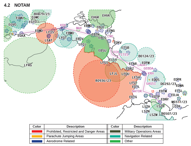
The Autorouter briefing pack is plotting the notam circles (not any polygons) although it has the capability to crop the circles on national borders: