
We have all spent a fair bit of time grinding through Meteorology exams.
Some of us more than others... at the JAA IR level you get a vast volume of this.
Is there any point in learning it to such detail... effectively pretending we can out-forecast the computer models (which would be interesting since the data we would be looking at comes only from the computer models) or we can out-forecast the forecasters who compose the TAFs/METARs and who do it all day long for a living.
In 11 years of post-PPL flying I have never seen any evidence that Met knowledge would have given me any advantage, over plotting the data graphically as provided by a number of free websites.
at the JAA IR level you get a vast volume of this.
In my view Meteorology was the only useful subject of the whole JAA IR theory.
I think it is necessary to understand the weather and weather patterns to make use of the forecasts. During your Hangelaar weekend, the LSZH TAF predicted a 6500' ceiling for the evening until about noon, when in fact it was more like 1200'. Had I taken it at face value, I'd run into problems.
Of course, if you accept a 5% dispatch rate (i.e. only fly in widespread CAVOK conditions with no wind), you don't need much weather knowledge.
During your Hangelaar weekend, the LSZH TAF predicted a 6500' ceiling for the evening until about noon, when in fact it was more like 1200'. Had I taken it at face value, I'd run into problems.
I am not suggesting the weather models are always right, or that the professionals never get it wrong.
The thrust of my original question was how could one use one's Met knowledge to out-forecast the existing data.
In this case, what weather data could you have consulted which would have enabled you personally to work out that the cloudbase was going to be 1200ft instead of 6500ft i.e. to work out a better TAF?
Apart from the METAR, obviously, which presumably was 1200ft.
I second what tomjnx wrote. Met was the most useful of all subjects, also because I had a real meteorologist do it and not just a flight instructor that got some slides from somewhere.
Being able to understand what a low/high/cold front/occlusion/warm front/trough is and what the consequences are is key to making good decisions. The JAA IR has greatly improved my general understanding of weather, not just useful in aviation.
In the beginning I often called the official met briefing hotline but those are guided by the CYA philosophy (cover your a**) and basically recommend to not fly unless it's CAVOK in which case I wouldn't call them. So I had to learn how to interpret the data myself and decide without help from professionals.
Being able to understand what a low/high/cold front/occlusion/warm front/trough is and what the consequences are is key to making good decisions.
Can you be more specific, Achim?
Weather is a very important factor in flying. Most IR theory exams are an "extract" of the ATPL syllabus. Not for Meteo: It is considered so important that you have to go through the full ATPL syllabus and learn things you will never have to deal with on low level Eurocontrol levels. Things like Jet Streams, ITCZ, Clean Air Turbulence, Tropical Revolving Storms, etc...
I have a personal interest in weather, so I enjoyed studying it. Learning the details gave me a better picture on how the weather system actually works. But the truth is, even with all the knowledge from the book, it is impossible to accurately answer the question: Can we fly next weekend or not?
For real life flying one should be able to interpret the METAR's and forecasts, and translate that to a GO/NOGO decision. But that is not always easy. When in doubt, I just call a Aviation Meteorologist.
I found that the "unofficial" weather sources like Ogimet, Sat24 and Meteox are a great help in weather decision making. The subject "Cloud Top Forecasting" is not covered in the IR training, while it is one of the most important things in light aircraft GA flying...
Interpreting the current weather is easy. METARs on your route, precipitation radar, sat image and you got it. No need for a deeper understanding other than deriving potential icing conditions.
90% of German pilots use a chart that is called GAFOR. It segments the country in areas with similar weather conditions and gives a color code for each. Green and blue are good. If GAFOR shows green and blue, the pilots go flying otherwise they don't. Works great but is more targeted towards the 90% of flying that limits itself to doing traffic patterns and going for a € 100 coffee to a neighboring field.
What is more interesting is how the weather developers over the course of the next hours and days. When making a trip, one is also interested in how to get back. One example is cold fronts. They come with pretty bad weather but once they pass, there will be immediately great flying weather, something most pilots don't realize. Sometimes they move very fast and in directions that are good for your trip. Sometimes they change their speed significantly and change the direction. Often I takeoff knowing that most likely I will make it to my destination and in which ways I could adjust my course and in which case I will have to give up and divert.
Not for Meteo: It is considered so important that you have to go through the full ATPL syllabus and learn things you will never have to deal with on low level Eurocontrol levels. Things like Jet Streams, ITCZ, Clean Air Turbulence, Tropical Revolving Storms, etc...
Yes, but your IR let's you fly at altitudes where those items are relevant. I think icing, convective weather, temp/dewpoint spread are pretty well all you need in practice along with tools such as sat images. What is rarely taught is how to apply that data to you and your aircraft.
One reason I started this thread is that the Met teaching at the IR level (both JAA and FAA) is totally disconnected from the weather data which is available today, or has been available at any time in the past decade or so.
In the FAA IR theory (e.g. the ASA book) they do refer to some weather charts which are basically the MSLPs, with some extra stuff superimposed, but it doesn't seem to be stuff which any modern pilot would be using.
And the JAA IR theory (which I did in 2011) completely ignores the internet sources and deals almost wholly in abstract concepts.
Sure there are some basics which a totally "green" pilot will take home e.g. if you fly in IMC below 0C then you can get structural icing. But you could write that stuff on the back of a fag packet. And they don't tell you that supercooled water cannot exist in stratus cloud below about -15C, but can exist all the way down to about -40C in convective cloud, though to see it at -40C the convection would need to be so strong that icing may not be your biggest concern...
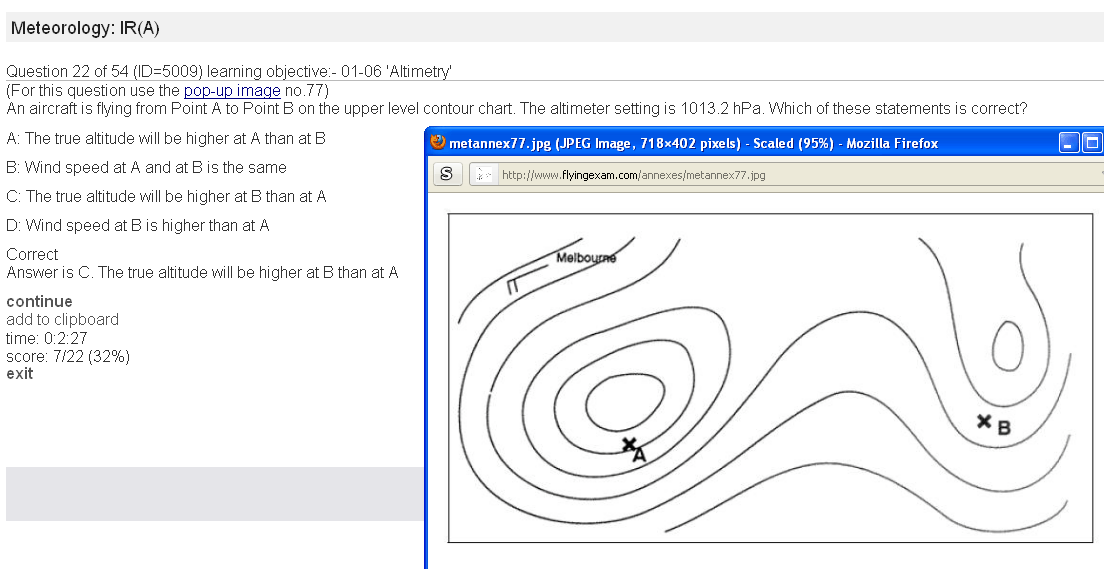
There is other stuff which is truly useful e.g. the airflow around a high pressure in the northern hemisphere is clockwise, but that is done at the PPL level (both JAA and FAA). In the JAA IR they elevate that stuff to levels where you have to look at a diagram like this and guess which is the High and which is the Low and you need to know that if you fly from a High to a Low then your true altitude will reduce, which is nice but (a) it would still go on the back of a fag packet (b) it is barely relevant to flight unless you are trying to clear the summit of Mt Blanc by 100ft in IMC and without using a radio via which you could get an updated QNH. And any change in the temperature is going to frustrate it all anyway.
As to the other ~ 95% of the JAA IR Met theory?
Has anyone found it useful for improving on the data sources we have and, if so, can anyone offer examples of how they did it?
Peter, I am not sure I understand where you want to go with this discussion.
As designer of the AeroPlus Aviation Weather app I come in contact with a lot of pilots that have no clue to how the weather works and thus (implied) don't know how to interpret simple stuff like a COMBINATION of data such as the METAR, TAF, lifted-index, CAPE value, weather charts and sat images. Let alone that most don't even know how to read a TAF or METAR and that if it includes something like a THUNDERSTORM or CB warning, but not in your timeframe, they simply will not fly.
I do agree that the METEO education is outdated and not practically focussed on the practical situation and the information we have available today. Maybe time to write a new Aviation Meteo course?


