How does that compare to Gramet of the autorouter?
I have been using Meteoblue for a long time now, it is a great addition to special flight weather forecasts. Looking forward to test that new feature,
This is a trip back in time… I used Meteoblue way back, maybe 10+ years ago. Some of the stuff is in this cloud tops writeup. I used it for a few years. It was a PhD project of some student in Switzerland (or around there) and then he hacked together a website which kind of worked, except on Mondays and sometimes Fridays  It used some weird client-side java and whether it worked was sensitive to the order in which you clicked on the reporting options, etc. I had some comms with him but he basically wasn’t interested in discussing it.
As for the accuracy, well, it was just plotting the same old GFS data, with, allegedly, some adjustments, but I eventually found, over many flights, that it was too unreliable to tell me anything which wasn’t blindingly obvious from the MSLP. And of course on the morning of the flight you can get the IR image, midnight baloon ascent data, etc and these are real data, not forecasts from some 10-20hr old model run. The Gramet has the same problem but I think GFS has improved a bit.
They then tried to commercialise it, for years, turning it into a general weather site, and after a while I could not even find the original functionality.
The site says “This function is available free of charge for the current weather situation, as well as in hourly steps over the next 4 days for all point+ subscribers.” so they seem to be charging for it.

My guess is that they are using the more recent higher-res GFS but the Autorouter Gramet should be doing the same.
Peter wrote:
using the more recent higher-res GFS but the Autorouter Gramet should be doing the same.
Indeed, we switched to the 0.25° resolution model of GFS when it became available. GFS keeps improving.
Does GFS more reliably forecast nonconvective cloud nowadays?
I used to regularly find that basically all stratus cloud was missing.
Why not using ECMWF? It’s more accurate than GFS.
See http://cliffmass.blogspot.com/2016/06/us-numerical-weather-prediction-is.html
ECMWF is quite expensive, GFS is free of charge.
I totally subscribe to what Peter and Achimha write here.
Metoblue’s forecast does not work so well, at list around the area I’m based, (Scandinavia).
What does is serve the nice feature like cross section for a specific flightpath, if it is based on a unreliable prediction ?
Peter wrote:
My guess is that they are using (…) GFS
Peter wrote:
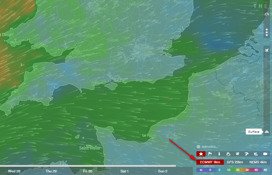
what is NEMS?
Meteoblue runs their own model and uses data coming from other model (which are free or which they buy). They (claim to) have developed two families of models: NMM since 2007 and NEMS since 2013. They run them at various resolutions for various regions of the world. They (used to?) claim to be the biggest private weather model.
See the bottom of https://www.meteoblue.com/en/weather/forecast/multimodel/
Peter wrote:
for all point+ subscribers.” so they seem to be charging for it.
You can (or at least used to) get a free one-week (or so) trial of Point+. I’ve been using it since well into my PPL training, and I found the point+ subscription well worth it (watch for black friday sale, christmas/end-of-year sale, etc). Then, I didn’t know about windy (if it existed back then) :)