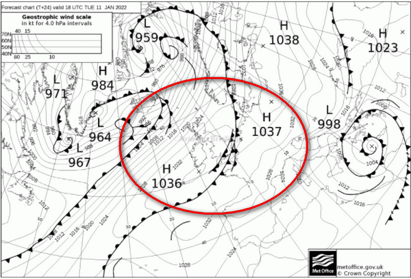
It is rare to see these pressure values, together with this frontal picture
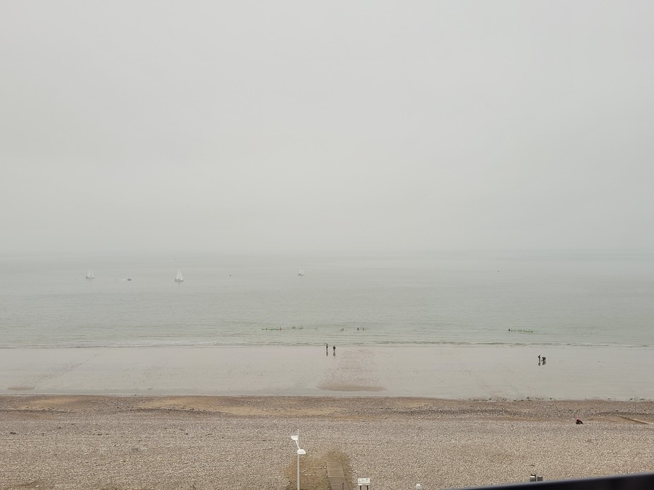
and this is the result – OVC004 and heavy drizzle
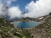
This shows the tops around 6000ft, and blue skies and great vis above that (possibly some haze around 20000ft)
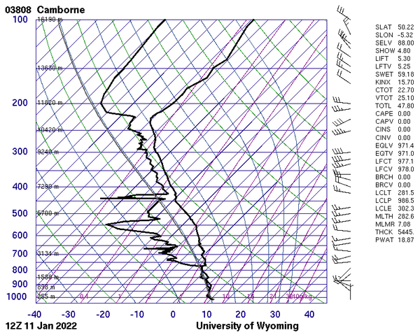
More commonly, a winter high pressure is a very thin layer, as discussed e.g. here.
Ultra high air pressure is quite common in Winter in central Europe, I recall values of up to 1040 QNH e.t.c. It is worse in some parts of the world (e.g. Russia) where 1050+ sometimes presents a problem because most altimeters can’t handle qnh’s like that.
This was published in the end of January 2012, the Swedish fighter aircraft JAS could not get airborne due to the pressure being a whooping 1057hpa.
https://sverigesradio.se/artikel/4939359 ( Google translated: https://sverigesradio-se.translate.goog/artikel/4939359?x_tr_sl=auto&x_tr_tl=en&_xtrhl=sv)
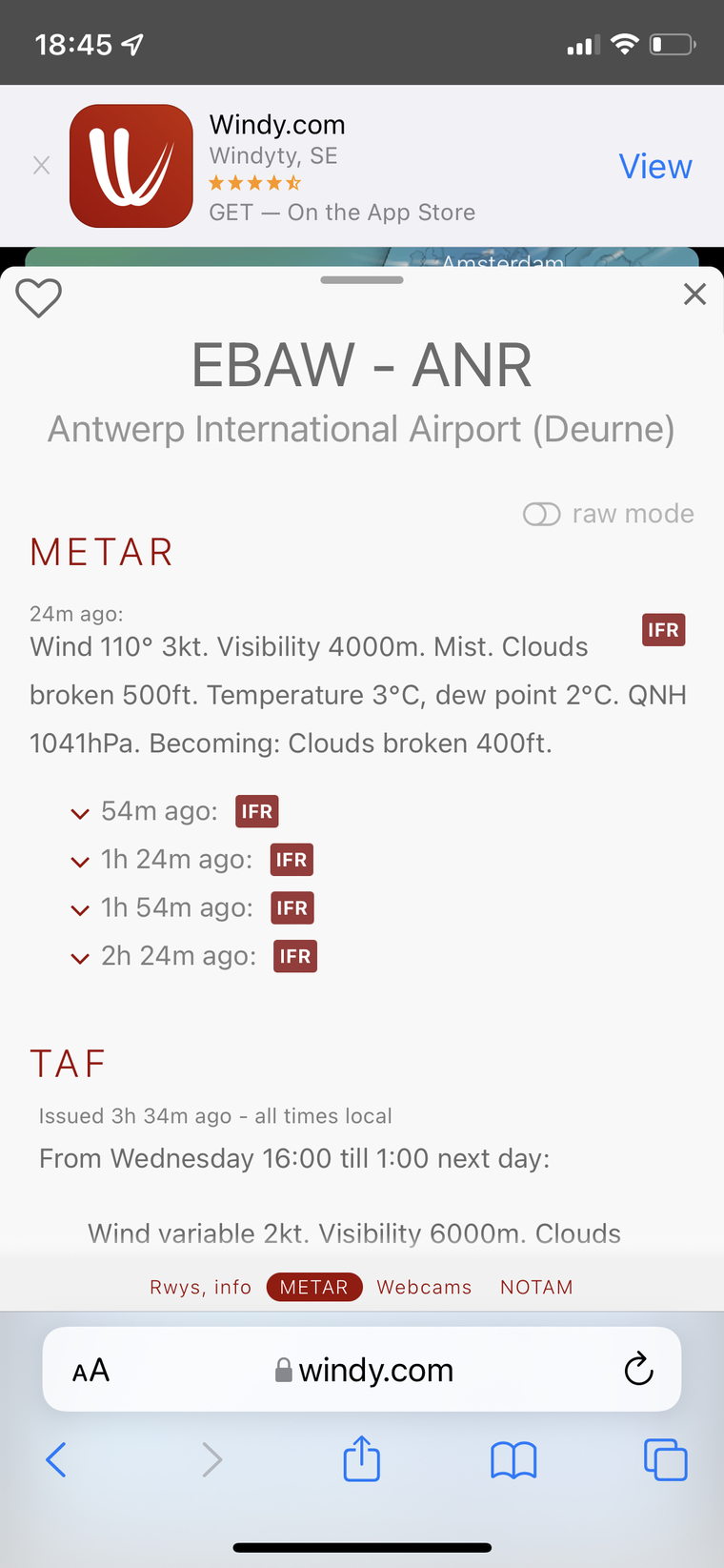
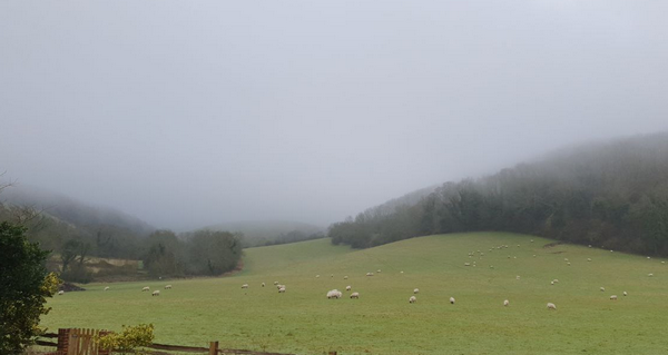
Antwerp at the moment…
Nice for us in the Cote d’Azur though! Over a week of unbroken sunshine!
The current HIGH is also a lot more powerful than anything I recall seeing before.
johnh wrote:
Nice for us in the Cote d’Azur though! Over a week of unbroken sunshine!
Yea, also here in ZRH, apart from morning fog. I live some 40 m higher than Zurich airport level and it has mainly been sunny here all week.
Peter wrote:
The current HIGH is also a lot more powerful than anything I recall seeing before.
In what way? It is a pretty large High but with a center pressure of around 1030 right now absolutely normal for the time of the year.
Today, yesterday forcast was CAVOK
We landed at LeHavre with 300ft ceiling & 3km visibility