Went for a quick flight today westbound from LOWG. For a part of the trip, I’m pretty sure I was under close radar watch ;)
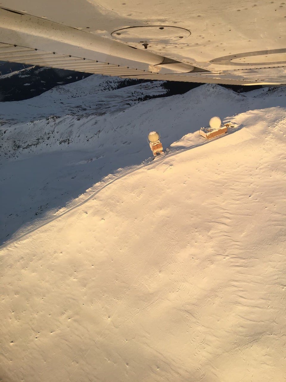
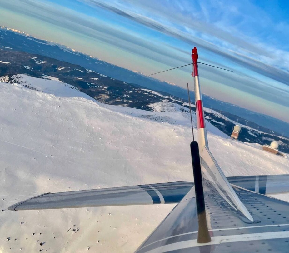
Route: LOWG – leave via VFR Sector W – follow highway A2 via Packalpe to the flight’s highlight, a 2140m Peak named “Großer Speikkogel” which is part of Koralpe. A 360 or two around the Air Defense Radar Station (Mittel-Bereichs-Radar Goldhaube “Goldhat”) and then went south until reaching river Drava. Followed Drava eastbound and then cut back north, flying via the Vineyards of southern Styria back to LOWG. Left the house at 15:20 and was back home for dinner before 18:00
Goldhaube (one radar is civy, the other is military).
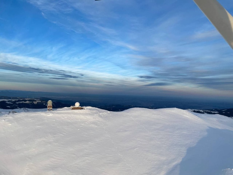
Right next to the Radar is the Ski area Koralpe
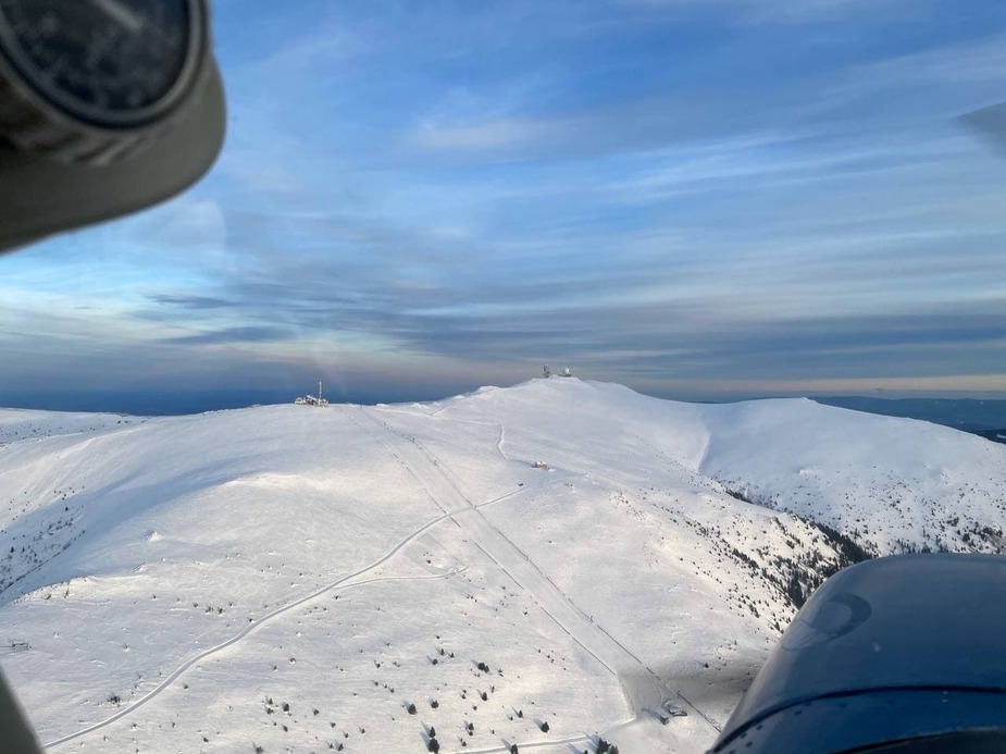
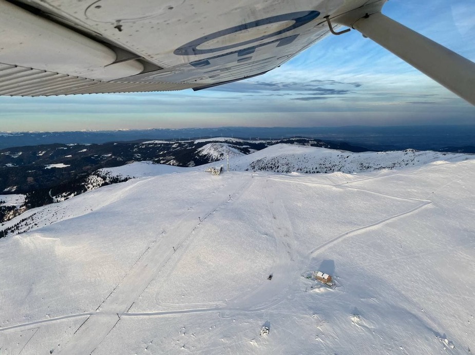
Summit cross is right underneath end of aileron. I hiked up there last may, click here for 360 video of summit
On we go…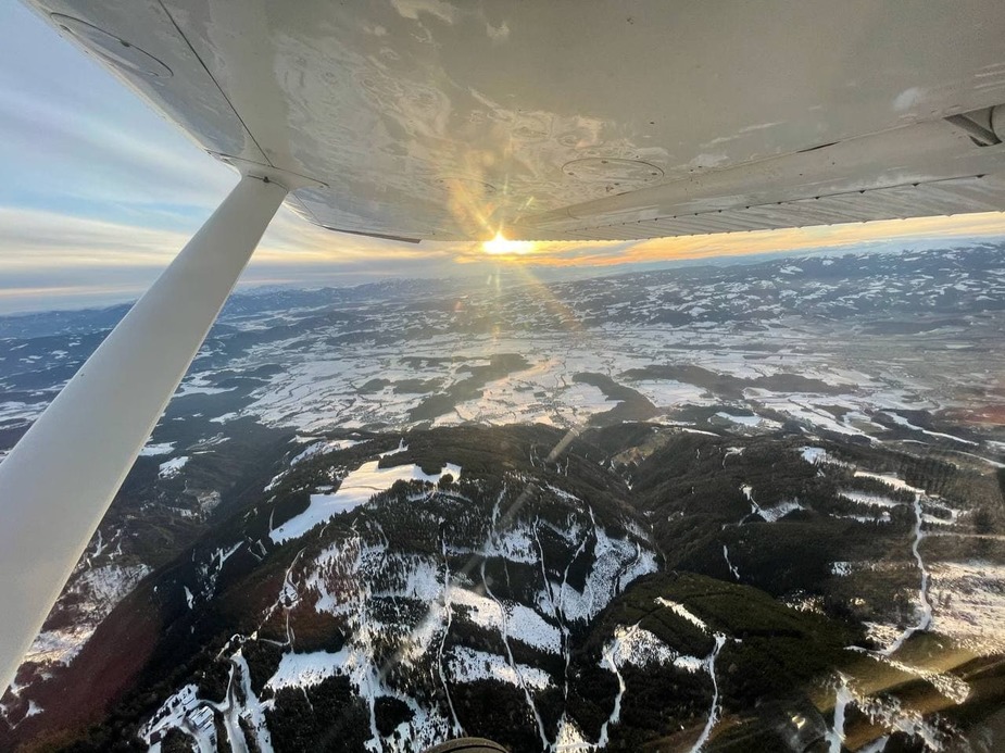
Lavanttal (Wolfsberg) There is an airfield here LOKW which recently got a hard surface plastic grid applied.
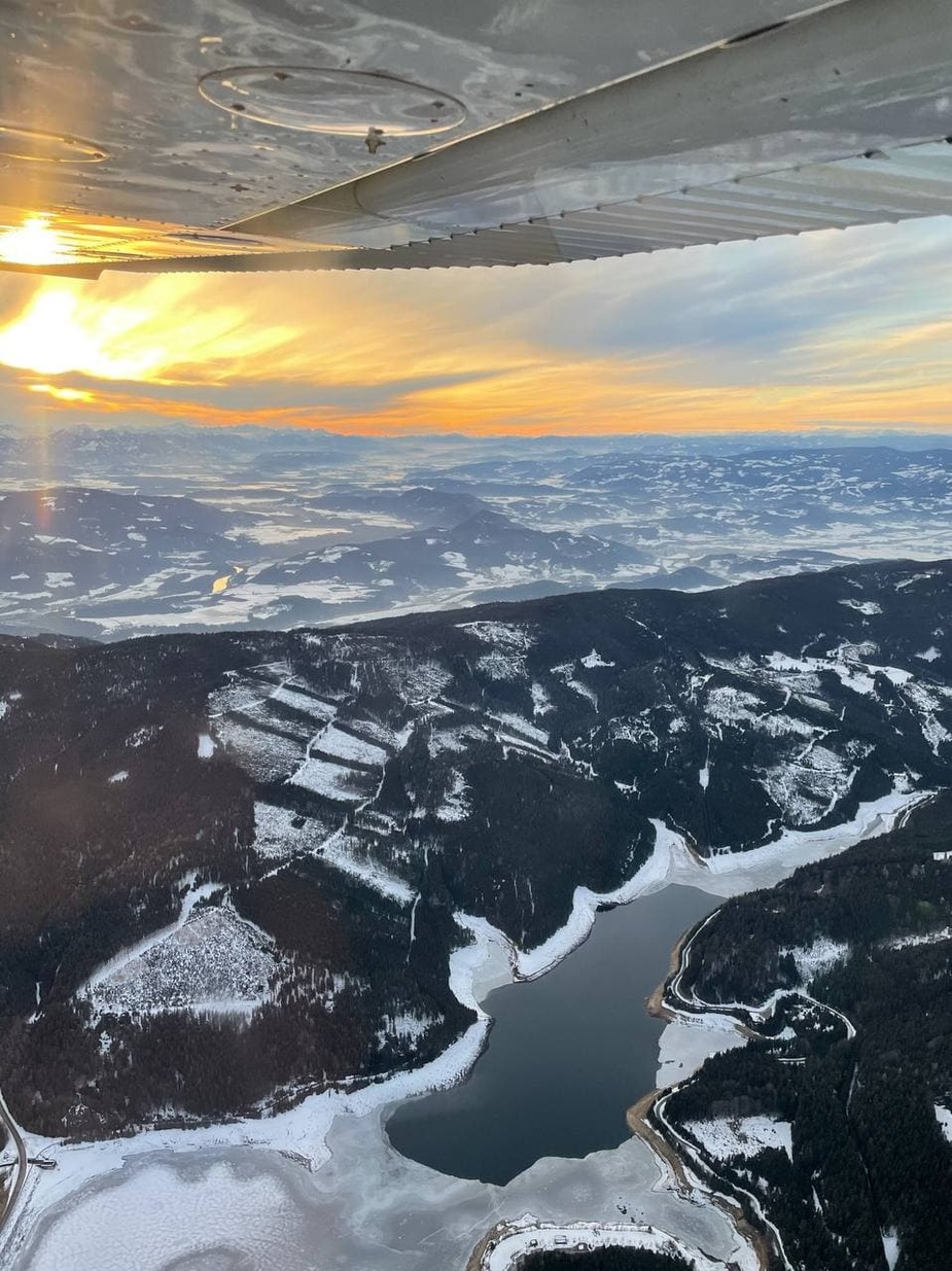
Flying southbound, passing the Stausee (man made lake) Soboth shortly before entering the Slovenian FIR
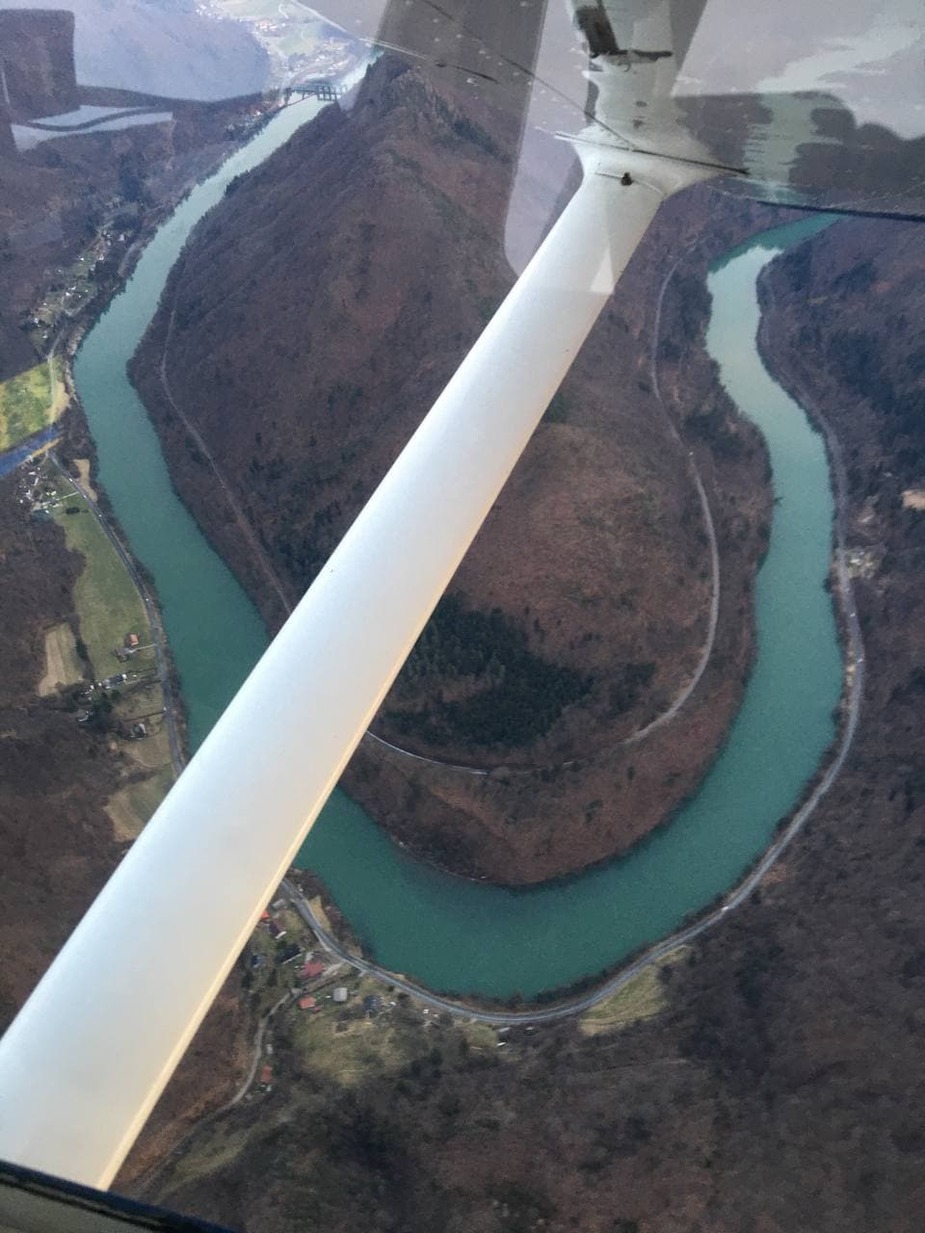
Upon reaching the Drava River, one can either turn westbound to LOWK or eastbound to LJMB. It is the GAFOR route for bad weather when higher terrain to the north cannot be cleared.
Drava River bend (near Dravograd).
Interestingly (and contrary to my estimation), the flight was completely smooth, not even the slightest bump. Good for heart and soul!
Beautiful!
I’ll second that.
A really beautiful part of the world.
I’ve only been that far east in Slovenia one time but it was really nice.
Lovely post!
I just saw the descriptions and images are mixed up, apologies.
Looks like a nice flight.  Thanks for posting the pictures.
Nice flight Snoopy, max you can get on out of that 15h20-18h00 break, how was dinner  ?
?
Good ;)