Do you think this is ap or manually flown?
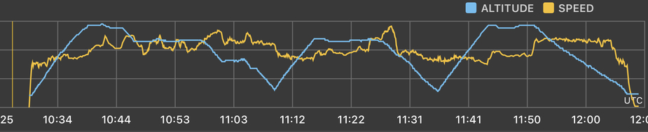
Willing to share an altitude trace as well?
AP …no doubt!
Or hand flown with FD 
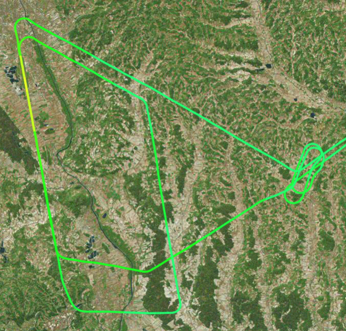
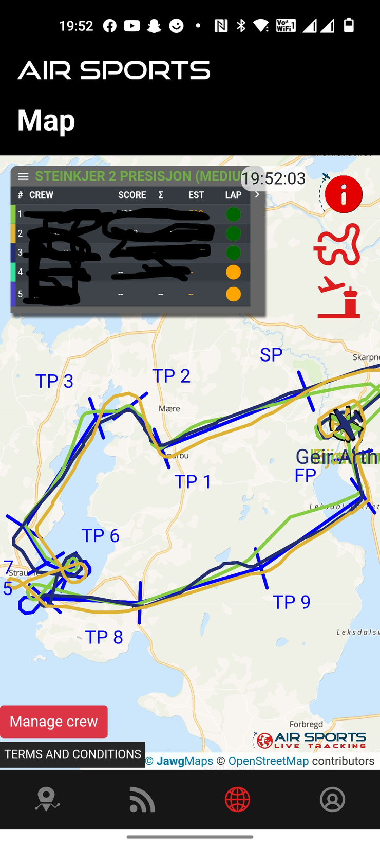
I would say autopilot, but it could also be done hand flying IMO (perhaps, with some practice). Yesterday we had a highly informal navigation competition again (for the fun of it). It’s dead reckoning VFR (GPS not allowed), but the pad or phone tracks each team in real time. Position and time is important. Each “gate” has to be passed at the correct time, the correct second, not the correct minute The map is handed out 30 minutes (or something) before take off. For the three teams it looks like this:
Pretty good track hold IMO even though the correct track as such is not of the essence (some leeway is allowed). And it includes lots of “WTF where is that point” moments
With SkyDemon or some IFR stuff and good nav/instruments, I don’t see why it couldn’t be done. Precision is needed. It’s more a matter of why? IMO
Autopilot. Perfectly straight lines, not even a single kink.
Two lines EXACTLY overlap for some distance
Two lines EXACTLY parallel.
Altitude looks less precise. Perhaps a one axis autopilot?
It’s a tracklog of my latest student‘s IR exam (skill test) flight. Happy to announce one more IR pilot among our ranks!
The aircraft (C172N with GNS430W) is not equipped with an autopilot. Obviously, flying straight is one of his strong points.
I’ll leave it to him to identify himself.
👏 👍👏
Snoopy wrote:
The aircraft (C172N with GNS430W) is not equipped with an autopilot. Obviously, flying straight is one of his strong points.
Incredibly well done!
That’s excellent!
Now, repeat the exercise while peeing into a bottle and taking photos