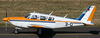
I found a picture of the P210 from a webcam in the very moment rotating from RWY 05.
It is from aviation-safety
I think visibility was clearly more than 400 meters from this viewpoint, but questionable if it is 1500m; However, I would let the question of legality aside, because one has to acknowledge, that the takeoff run was completed succesfully, and the crash occurred after completion of takeoff run. So visibility on ground is not in direct relation with the accident – other than that it may have increased spatial disorientation, if this was the cause.
Emir wrote:
that turning to the right going out hypothetically 23 seems similar to the course the plane flew, implies that he did also program going out 23
or that this informations had been in the avionics.
If the altitudes shown at FR24 are correct, it’s very unlikely the autopilot has been engaged so early and low which means he was hand flying stable on pitch and heading.
weather condition imply that visibility was practically zero being in the fog complitely after takeoff.
how would he fly on pitch and heading straight out then turning east, knowing there is nothing but a mountainside there ?
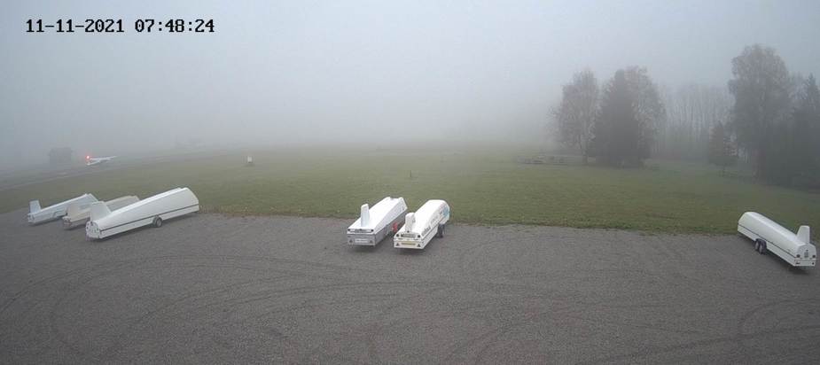
I went to google maps to try to find out where that webcam was mounted, and the only candidate location which matches the trees etc is here
On that basis, measuring to the furthest visible trees, I make the vis about 120m.
However, he obviously lifted off just fine so this is not relevant to the accident.
He would have been in IMC just a few seconds after liftoff.
the picture of the departure is the picture i referred to before
that strongly indicates the went out 05.
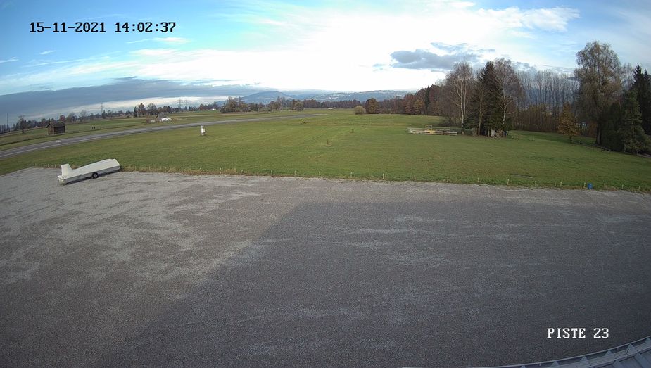
runway is 630m.
This is the actual foto.
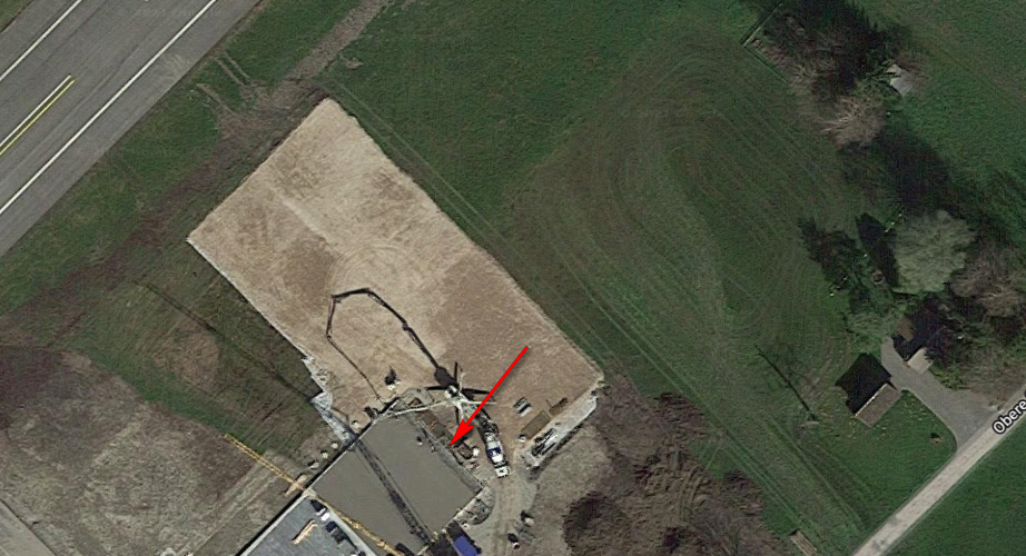
From the homepage of LOIH: click
And @Peter from google maps I measure the same. However, this is not sufficient to say, that the visibility amounts to that value. It’s “more than 120 meters”, next trees wich could be visible in the webcam are close to 400 meters.
cpt_om_sky wrote:
how would he fly on pitch and heading straight out then turning east, knowing there is nothing but a mountainside there ?
Because he thought he was turning west. Look at pictures I posted here on previous page and everything will be clear.
his destination was edja (corroborated)
cpt_om_sky wrote:
that strongly indicates the went out 05.
At the beginning you claimed he took of from 23. Now it’s obvious he took off from 05 and most probably he thought he took off from 23 which provides pretty much good explanation on deliberate and stable turn to the right.
to go out 23 he would have to taxi all down the runway and turn around.
that he confused going out 05 or 23 is very, very, very unlikely !
cpt_om_sky wrote:
his destination was edja (corroborated)
Which is consistent with the last picture I posted on previous page – he planned to complete the turn (thinking about taking off from 23, turning right and finishing the turn in some north-ish heading) and continue along the route to EDJA.